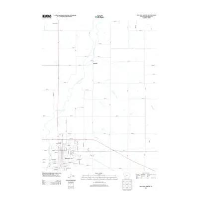
2013 Map of Red Oak North
USGS Topo · Published 2013About this map
The E Nishnabotna River winds through this Montgomery County landscape, defining the western edge of the city of Red Oak. This 2013 topographic study documents the urban expansion of the city northward toward the smaller settlements of Stennett and Sherman Centre. The residential grid of Red Oak is captured in detail, showing local landmarks such as the Montgomery County Fairgrounds and the industrial corridors along Commerce Dr. Outside the city limits, the map reveals a systematic grid of county roads, including 150th St and 180th St, which segment the agricultural terrain between several drainage systems. Smaller waterways like Red Oak Cr and Walnut Cr cut through the sections, illustrating the natural hydrology that influenced the region's early road placement and property boundaries.
Find a feature on this map
85 named features on this map. Tap any name to fly to it.
Don’t see what you’re looking for? This feature index may not catch every label — zoom into the map to look around manually.
Map Details
Editions of this 2013 Red Oak North Map
This is the sole edition of this map. No revisions or reprints were ever made.
Other maps of this area

1954 · Omaha
USGS Topo · 1:250,000

1955 · Nebraska City
USGS Topo · 1:250,000

1957 · Nebraska City
USGS Topo · 1:250,000

1957 · Omaha
USGS Topo · 1:250,000

1958 · Omaha
USGS Topo · 1:250,000

1958 · Nebraska City
USGS Topo · 1:250,000

1978 · Stanton
USGS Topo · 1:24,000

1978 · Griswold
USGS Topo · 1:24,000

1978 · Wallin
USGS Topo · 1:24,000

1978 · Wales
USGS Topo · 1:24,000