Old Maps of Sheldon, Iowa for Hiking & Exploration
Hike through history with 15 historic maps of Sheldon. Explore old trails, ghost towns, and forgotten backroads — perfect for outdoor adventurers and local explorers.
- Rediscover forgotten places: Map out old mining camps, roads, and footpaths that no longer exist on modern maps.
- Layer with modern tools: Combine with LiDAR or satellite views to plan hikes through historical terrain.
- Made for exploration: Popular among hikers, overlanders, and local history lovers.
Use these maps to find adventure and explore the hidden past of Sheldon.
Sheldon, IA maps
(15)- 1954 Map of Fairmont, 1967 Print
 1954 Fairmont1967 Print · USGSThe prairie landscape of southern Minnesota and northern Iowa comes alive in this mid-century survey of the Coteau des Prairies. Genealogists and historians can trace the rail-connected growth of Fairmont and Blue Earth or locate family roots near St Kilian Ch and Union Slough National Wildlife Refuge.3 unique versions available
 - 1958 Map of Fairmont
 1958 Fairmont1958 Print · USGSThe borderlands of southern Minnesota and northern Iowa come alive in the mid-1950s, showing a landscape defined by glacial lakes and rail-line commerce. Researchers can trace historic landmarks like Lakeside Laboratory, Gridley Station, and the Bancroft Wildlife Refuge across the prairie.
 - 1964 Map of Matlock, 1965 Print
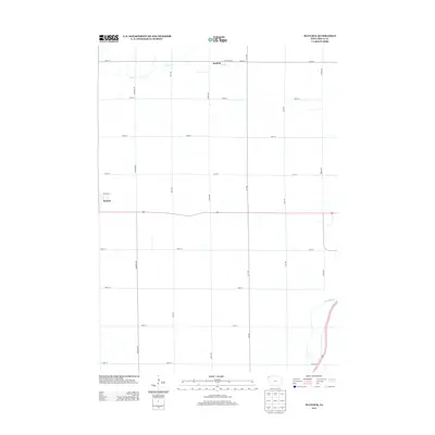
 1964 Matlock1965 Print · USGSThe rural landscape of Sioux County is captured in the mid-1960s, a period when three distinct railroads still defined local commerce. Genealogists and historians can locate family landmarks such as Greenwood Cem and the Church of the Brethren near the settlement of Matlock.
 - 1964 Map of Sheldon, 1965 Print
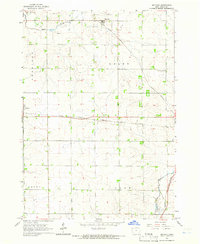
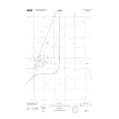
 1964 Sheldon1965 Print · USGSSheldon was a bustling rail hub in the mid-1960s where three major lines converged amidst the fertile farmland of the Sioux and O'Brien county line. Researchers can trace the city's growth through landmarks like the Municipal Airport, St Patricks Sch, and the Illinois Central tracks.
 - 1985 Map of Iowa Great Lakes
 1985 Iowa Great Lakes1985 Print · USGSNorthwest Iowa’s glacial lakes and prairie towns are captured here in the mid-1980s, showing a landscape balanced between agriculture and lakeside recreation. Genealogists and historians can locate family sites near Holman Cem or trace the early rail corridors of the Chicago and North Western and the Chicago Milwaukee St Paul and Pacific.2 unique versions available
 - 2010 Map of Matlock, 2010 Print
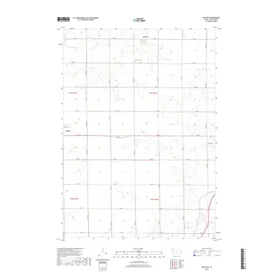
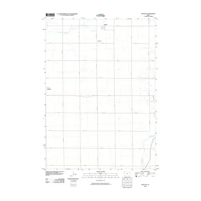 2010 Matlock2010 Print · USGSCovers Sheldon, including Boyden, Matlock, and other nearby areas
 - 2010 Map of Sheldon, 2010 Print
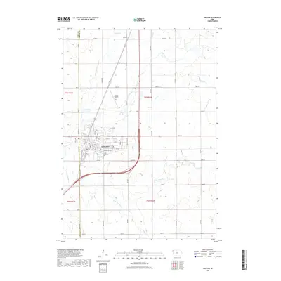
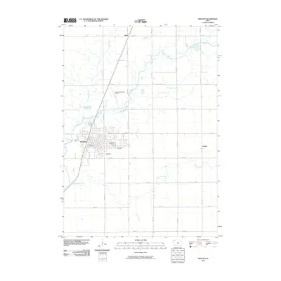 2010 Sheldon2010 Print · USGSCovers Sheldon, including Ritter, Evander, and other nearby areas
 - 2013 Map of Sheldon, 2013 Print
 2013 Sheldon2013 Print · USGSCovers Sheldon, including Ritter, Evander, and other nearby areas
 - 2013 Map of Matlock, 2013 Print
 2013 Matlock2013 Print · USGSCovers Sheldon, including Boyden, Matlock, and other nearby areas
 - 2015 Map of Sheldon, 2015 Print
 2015 Sheldon2015 Print · USGSCovers Sheldon, including Ritter, Evander, and other nearby areas
 - 2015 Map of Matlock, 2015 Print
 2015 Matlock2015 Print · USGSCovers Sheldon, including Boyden, Matlock, and other nearby areas
 - 2018 Map of Sheldon, 2018 Print
 2018 Sheldon2018 Print · USGSCovers Sheldon, including Ritter, Evander, and other nearby areas
 - 2018 Map of Matlock, 2018 Print
 2018 Matlock2018 Print · USGSCovers Sheldon, including Boyden, Matlock, and other nearby areas
 - 2022 Map of Sheldon, 2022 Print
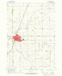
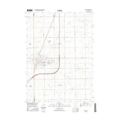
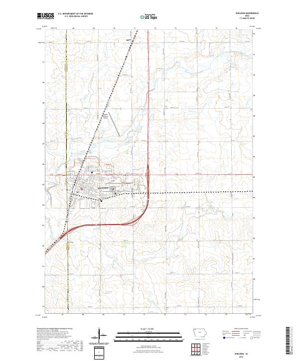 2022 Sheldon2022 Print · USGSSheldon and its surrounding prairie landscape are shown here in the early 2020s at the junction of O'Brien and Sioux counties. Family historians can locate family plots at East Lawn Cem or Saint Patricks Cem and trace the winding course of the Floyd River.
 - 2022 Map of Matlock, 2022 Print
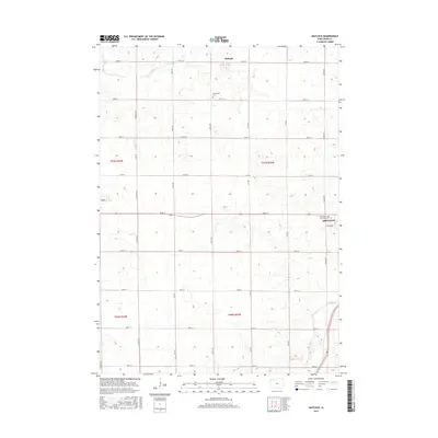
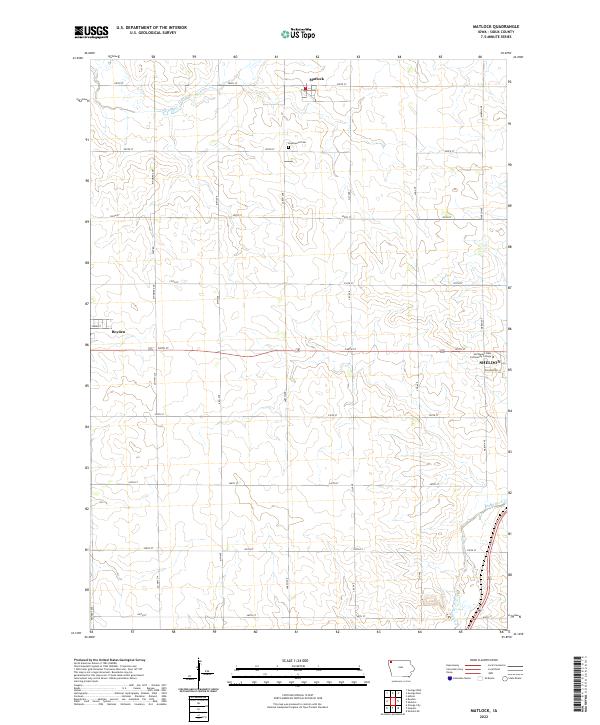 2022 Matlock2022 Print · USGSSioux County's agricultural heartland is documented here in the early twenty-first century, showing the section-line roads and scattered settlements of northwest Iowa. Genealogists and local historians can locate Greenwood Cem and trace the paths of Otter Creek and the Floyd River.
End of results
Showing maps 1-15 of 15
Top cities near Sheldon
- Orange City historical maps
- Sibley historical maps
- Sanborn historical maps
- Alton historical maps
- George historical maps
- Paullina historical maps
See more
Frequently asked questions
- What are the different types of historical maps available for Sheldon?
- What is the oldest map of Sheldon?
- Where can I purchase historical maps of Sheldon for my home or office?
- Where can I download high-res historical maps of Sheldon?
- Are there historical topographic maps available for Sheldon?
- Is there historical aerial imagery available for Sheldon?
- Where are historical maps of Sheldon sourced from?