Old Maps of Braddyville, Iowa for Genealogy
Trace your family roots with 13 historic maps of Braddyville. These high-res maps reveal old neighborhoods, homesites, landmarks, and streets — helping you uncover where your ancestors lived and how the area evolved over time.
- Explore historic neighborhoods: Identify where your relatives may have lived in the 1800s or 1900s.
- Compare maps over time: Trace the changes in streets, buildings, and landmarks for multi-generational research.
- Perfect for genealogy & ancestry research: Used by family historians and researchers to map out lineage and migration.
These maps are an incredible resource for exploring your personal connection to Braddyville's past.
Braddyville, IA maps
(13)- 1940 Map of Coin, 1954 Print
 1940 Coin1954 Print · USGSThe borderlands of Iowa and Missouri come to life in this mid-century survey, showcasing the tight-knit farming communities across Page and Nodaway counties. Researchers can locate vanished rural landmarks like North Grove Sch and Six Corners Cem along the Wabash rail line.2 unique versions available
 - 1943 Map of Coin
 1943 Coin1943 Print · USGSThe rural borderlands of Iowa and Missouri were still defined by a dense network of country schools and rail lines in the early 1940s. Researchers can trace the exact locations of vanished rural anchors like White Chapel, Six Corners, and the High Prairie Cemetery.2 unique versions available
 - 1955 Map of Nebraska City, 1967 Print
 1955 Nebraska City1967 Print · USGSThe four-state region surrounding the Missouri River valley appears here in the mid-1950s, a landscape of rail-dependent market towns and rural school districts. Genealogists can locate family landmarks like the Rock Bluff School, St Oswald Church, and the Clarinda State Hospital.3 unique versions available
 - 1957 Map of Nebraska City
 1957 Nebraska City1957 Print · USGSThe four-state junction of Nebraska, Iowa, Missouri, and Kansas comes alive in this mid-fifties survey of the Missouri River valley. Genealogists and historians can trace the rail-and-road networks connecting Nebraska City, Maryville, and the Squaw Creek National Wildlife Refuge.
 - 1958 Map of Nebraska City
 1958 Nebraska City1958 Print · USGSThe Missouri River Valley and its fertile four-state borderlands are captured here during the mid-century expansion of the regional highway and rail networks. Genealogists can trace family roots through numerous rural landmarks like Moulton School, Shady Grove Church, and the Clarinda State Hospital.
 - 1981 Map of Clearmont
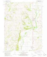 1981 Clearmont1981 Print · USGSThe Iowa-Missouri borderlands come into focus during the early eighties, centered on the Nodaway River valley. Genealogists can trace family footprints at Maple Hill Cem and Elmo Cem or follow the Old Railroad Grade past Braddyville.
 - 1985 Map of Nebraska City
 1985 Nebraska City1985 Print · USGSThe Missouri River borderlands of Nebraska, Iowa, and Missouri come into focus in the mid-1980s, showcasing a landscape of river navigation and rail-fed agriculture. Researchers can trace the heritage of Nebraska City, follow the Burlington Northern tracks, or explore river landmarks like Jones Point and McKissick Island.
 - 1993 Map of Nebraska City
 1993 Nebraska City1993 Print · USGSThe Missouri River valley and the rolling farmland of southwest Iowa are captured here in the early nineties, showing a landscape defined by water and rail. Researchers can trace the Burlington Northern lines or explore local landmarks like Arbor Lodge State Park and College Springs.
 - 2010 Map of Clearmont, 2010 Print
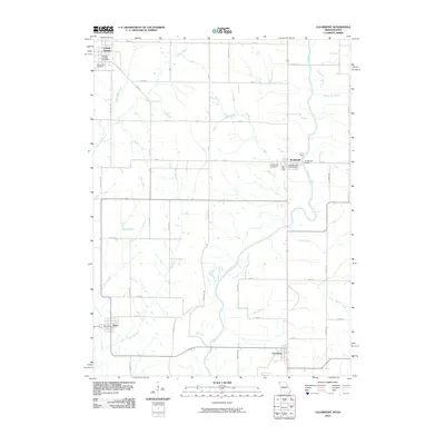 2010 Clearmont2010 Print · USGSThe Nodaway River valley at the Missouri-Iowa border comes into focus in this late-period survey of rural Page and Nodaway counties. Researchers can trace the exact layouts of Clearmont, Elmo, and Braddyville, or locate family sites at Maple Hill Cemetery and Pruitt Lake.
 - 2012 Map of Clearmont, 2012 Print
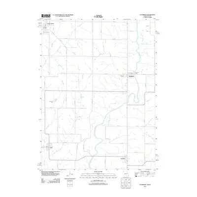 2012 Clearmont2012 Print · USGSThe Nodaway River valley at the Missouri-Iowa border shows a quiet landscape of agricultural towns and winding creeks in the early 21st century. Researchers can trace family history at Maple Hill Cemetery or locate the old College Springs Post Office and Elmo.
 - 2015 Map of Clearmont, 2015 Print
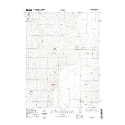 2015 Clearmont2015 Print · USGSThe Missouri-Iowa border comes into focus in this mid-2010s survey, showing the agrarian life of the Nodaway River valley. Genealogists and historians can trace local family roots at Union Grove Cemetery or explore the rural street grids of College Springs and Clearmont.
 - 2017 Map of Clearmont, 2017 Print
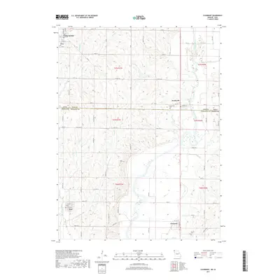 2017 Clearmont2017 Print · USGSThe Iowa-Missouri borderlands come into focus in this recent survey of the rural landscape north of Maryville. Local historians can trace family roots at Union Grove Cem or Maple Hill Cem and explore the river-valley settlements of Clearmont and Braddyville.
 - 2021 Map of Clearmont, 2021 Print
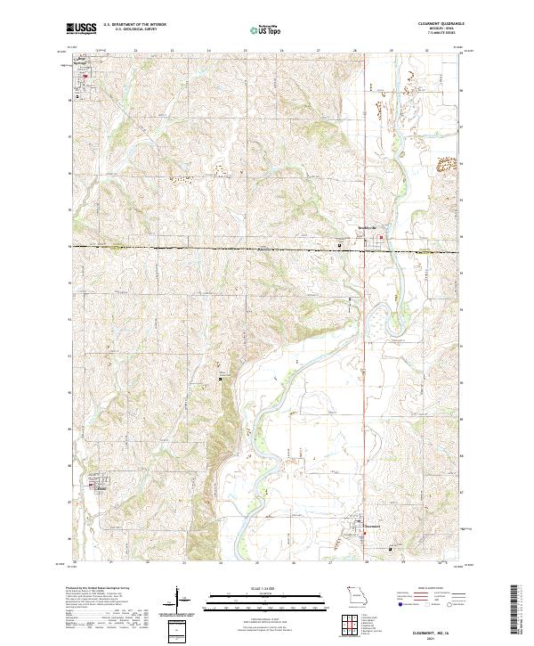 2021 Clearmont2021 Print · USGSThe Missouri-Iowa borderlands near the Nodaway River are shown here in modern detail. Researchers can trace rural lineages through sites like Union Grove Cem and Maple Hill Cem, or explore the historic settlement layouts of Elmo and Clearmont.
End of results
Showing maps 1-13 of 13
Top cities near Braddyville
- Maryville historical maps
- Clarinda historical maps
- Burlington Junction historical maps
- Hopkins historical maps
- New Market historical maps
- Coin historical maps
See more
Frequently asked questions
- What are the different types of historical maps available for Braddyville?
- What is the oldest map of Braddyville?
- Where can I purchase historical maps of Braddyville for my home or office?
- Where can I download high-res historical maps of Braddyville?
- Are there historical topographic maps available for Braddyville?
- Is there historical aerial imagery available for Braddyville?
- Where are historical maps of Braddyville sourced from?