2000s (21st Century) Maps of Emmetsburg, Iowa
Explore 10 historic maps of Emmetsburg from the 2000s (21st Century). These maps offer a rare glimpse into what life looked like during the 2000s — showing old roads, neighborhoods, homes, and landmarks that have changed or disappeared over time.
Whether you're researching your family's past, planning a metal detecting trip, or studying how Emmetsburg's landscape evolved across the 2000s, these high-resolution maps are a powerful tool for exploring the history of this region.
- Focus on a specific era: All maps on this page are from the 2000s, giving you a focused view of this time period.
- See what’s changed: Compare century-old streets, trails, and buildings to today's modern landscape using overlays and satellite layers.
- Research with precision: Use these maps for genealogy, historical research, land use analysis, or educational projects.
- View, download, or print: Maps are fully viewable online in high resolution, and can be downloaded or printed for your own records.
Start exploring Emmetsburg's history through authentic maps from the 2000s. This is your window into the past.
Emmetsburg, IA maps
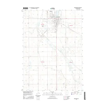
(10)- 2010 Map of Emmetsburg, 2010 Print
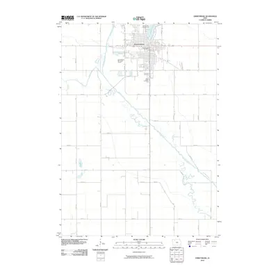 2010 Emmetsburg2010 Print · USGSCovers Emmetsburg, including Palo Alto County, United States, and other nearby areas
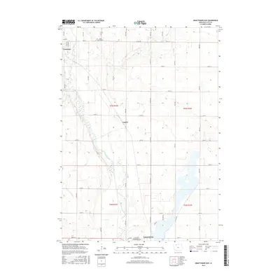
 - 2010 Map of Graettinger East, 2010 Print
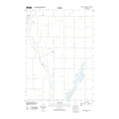 2010 Graettinger East2010 Print · USGSCovers Emmetsburg, including Graettinger, Osgood, and other nearby areas
 - 2013 Map of Emmetsburg, 2013 Print
 2013 Emmetsburg2013 Print · USGSCovers Emmetsburg, including Palo Alto County, United States, and other nearby areas
 - 2013 Map of Graettinger East, 2013 Print
 2013 Graettinger East2013 Print · USGSCovers Emmetsburg, including Graettinger, Osgood, and other nearby areas
 - 2015 Map of Emmetsburg, 2015 Print
 2015 Emmetsburg2015 Print · USGSCovers Emmetsburg, including Palo Alto County, United States, and other nearby areas
 - 2015 Map of Graettinger East, 2015 Print
 2015 Graettinger East2015 Print · USGSCovers Emmetsburg, including Graettinger, Osgood, and other nearby areas
 - 2018 Map of Emmetsburg, 2018 Print
 2018 Emmetsburg2018 Print · USGSCovers Emmetsburg, including Palo Alto County, United States, and other nearby areas
 - 2018 Map of Graettinger East, 2018 Print
 2018 Graettinger East2018 Print · USGSCovers Emmetsburg, including Graettinger, Osgood, and other nearby areas
 - 2022 Map of Emmetsburg, 2022 Print
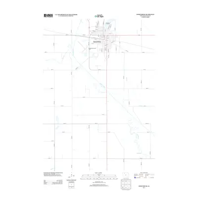
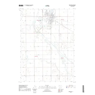
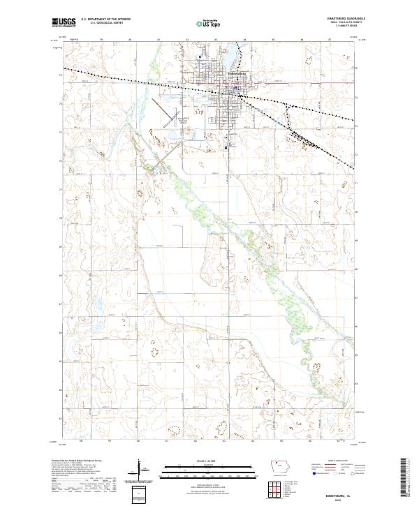 2022 Emmetsburg2022 Print · USGSThe Palo Alto County seat at Emmetsburg is shown in detail during the early 2020s, highlighting its civic heart and surrounding river valley. Researchers can pinpoint the Palo Alto County Courthouse, Evergreen Cem, and the shifting waters of the Des Moines River.
 - 2022 Map of Graettinger East, 2022 Print
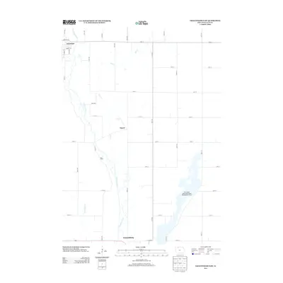
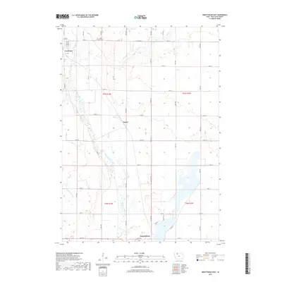
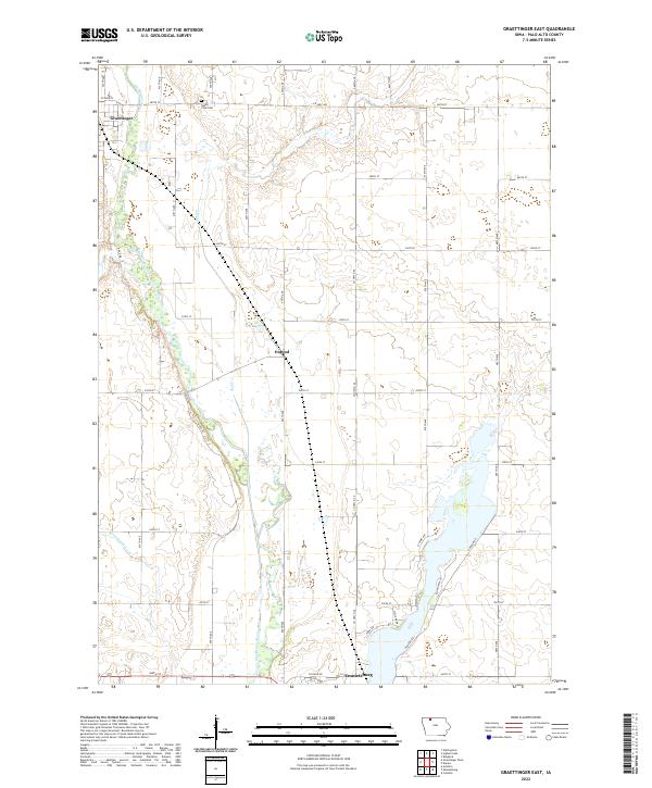 2022 Graettinger East2022 Print · USGSNorthwest Iowa's prairie landscape and the Des Moines River valley appear in high detail during this early 21st-century survey. Genealogists and local historians can trace the sections around Osgood, the Valley View Cem, and the outskirts of Emmetsburg.
End of results
Showing maps 1-10 of 10
Top cities near Emmetsburg
- Graettinger historical maps
- West Bend historical maps
- Ruthven historical maps
- Ringsted historical maps
- Mallard historical maps
- Wallingford historical maps
See more
Frequently asked questions
- What are the different types of historical maps available for Emmetsburg?
- What is the oldest map of Emmetsburg?
- Where can I purchase historical maps of Emmetsburg for my home or office?
- Where can I download high-res historical maps of Emmetsburg?
- Are there historical topographic maps available for Emmetsburg?
- Is there historical aerial imagery available for Emmetsburg?
- Where are historical maps of Emmetsburg sourced from?