Old Maps of Avoca, Iowa
Explore 18 old maps of Avoca, spanning from 1954 to today. These high-resolution historic maps reveal how streets, neighborhoods, landmarks, and natural features evolved over time — perfect for genealogy, metal detecting, research, and local history exploration.
What you can do with these maps:
- See how Avoca changed over time: Compare historical maps to modern-day views to trace roads, homesites, rail lines & more.
- View detailed metadata: Each map includes creators, publishers, year, scale, and archive source.
- Overlay maps with satellite & LiDAR: Visualize the past alongside modern tools to explore terrain & human change.
- Trusted historical sources: Maps sourced from the USGS, Library of Congress, and other archives.
- Access maps your way: View online, download high-res files, or order prints for personal or research use.
Start exploring old maps of Avoca to uncover forgotten places, hidden landmarks, and the deep history beneath your feet.
Avoca, IA maps
(18)- 1954 Map of Omaha, 1967 Print
 1954 Omaha1967 Print · USGSMid-century development radiates from the river bluffs into the agricultural heartland during this period of post-war growth. Genealogists and historians can trace rail-connected towns like Atlantic and Red Oak or locate the sprawling grounds of Offutt Air Force Base and Manawa Lake.3 unique versions available
 - 1957 Map of Omaha
 1957 Omaha1957 Print · USGSWestern Iowa and the Missouri River valley are seen here in the mid-fifties during the height of the rail-and-road era. Researchers can trace the sprawling rail lines of the Chicago And North Western or locate Cold War landmarks like Offutt Air Force Base.
 - 1958 Map of Omaha
 1958 Omaha1958 Print · USGSOmaha and Council Bluffs stand at the center of this mid-fifties landscape, where the Missouri River splits the urban plains of Nebraska from the rolling hills of western Iowa. Genealogists can trace the rail lines of the Wabash RR and Illinois Central RR to rural settlements like Missouri Valley and Red Oak.2 unique versions available
 - 1963 Map of Avoca, 1964 Print
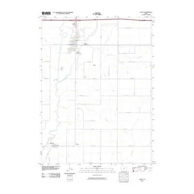
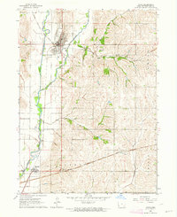 1963 Avoca1964 Print · USGSPottawattamie County farmland and river valleys are captured here in the early sixties as rural life centered on the rail lines. Trace old homesteads and local landmarks like Oak Hill Cemetery, the Fairground, and the rail siding at Ballard.
 - 1978 Map of Corley
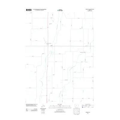
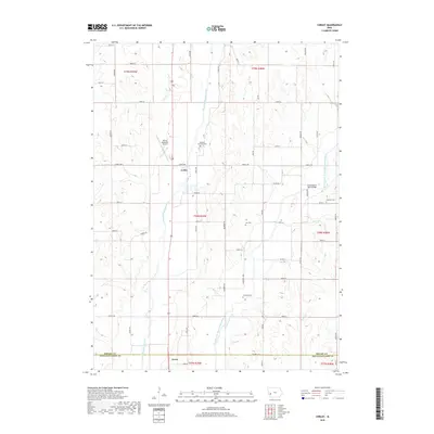
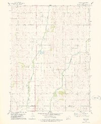 1978 Corley1978 Print · USGSShelby County farmland and river valleys are captured here in the late seventies as the river systems defined the local economy. Genealogists and historians can locate Corley, trace the Old Railroad Grade, and find Altamont Church and its cemetery.
 - 1980 Map of Harlan
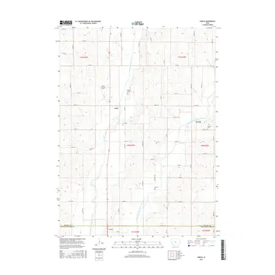
 1980 Harlan1980 Print · USGSWestern Iowa and the Nebraska borderlands are shown in the early eighties as a vital corridor of rail and river commerce. Genealogists and local historians can trace family roots through old rural crossroads like Beebeetown and Westphalia, or locate landmarks like Rose Hill Cem.
 - 1985 Map of Omaha
 1985 Omaha1985 Print · USGSMid-century development and heavy rail infrastructure define the Missouri River corridor between Nebraska and Iowa. Genealogists and local historians can trace the footprints of Offutt Air Force Base, Forest Lawn Cemetery, and the Iowa School for the Deaf.2 unique versions available
 - 1994 Map of Avoca
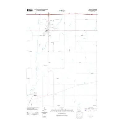
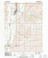 1994 Avoca1994 Print · USGSPottawattamie County during the mid-nineties shows the river-valley communities of Avoca and Hancock at a point of modern maturity. Genealogists and local historians can trace local landmarks like Graceland Cem, the Avoha High Sch, and the Old Grade Railroad.
 - 2010 Map of Corley, 2010 Print
 2010 Corley2010 Print · USGSCovers Avoca, including Corley, Pottawattamie County, and other nearby areas
 - 2010 Map of Avoca, 2010 Print
 2010 Avoca2010 Print · USGSCovers Avoca, including Hancock, Pottawattamie County, and other nearby areas
 - 2013 Map of Corley, 2013 Print
 2013 Corley2013 Print · USGSCovers Avoca, including Corley, Pottawattamie County, and other nearby areas
 - 2013 Map of Avoca, 2013 Print
 2013 Avoca2013 Print · USGSCovers Avoca, including Hancock, Pottawattamie County, and other nearby areas
 - 2015 Map of Corley, 2015 Print
 2015 Corley2015 Print · USGSCovers Avoca, including Corley, Pottawattamie County, and other nearby areas
 - 2015 Map of Avoca, 2015 Print
 2015 Avoca2015 Print · USGSCovers Avoca, including Hancock, Pottawattamie County, and other nearby areas
 - 2018 Map of Avoca, 2018 Print
 2018 Avoca2018 Print · USGSCovers Avoca, including Hancock, Pottawattamie County, and other nearby areas
 - 2018 Map of Corley, 2018 Print
 2018 Corley2018 Print · USGSCovers Avoca, including Corley, Pottawattamie County, and other nearby areas
 - 2022 Map of Corley, 2022 Print
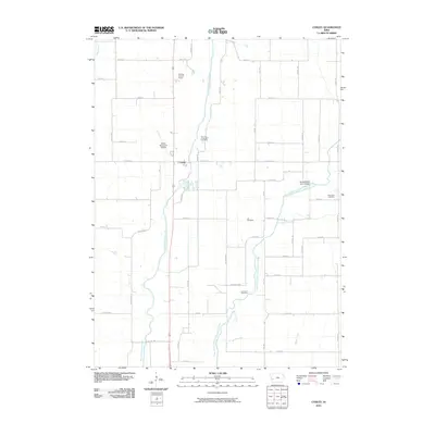
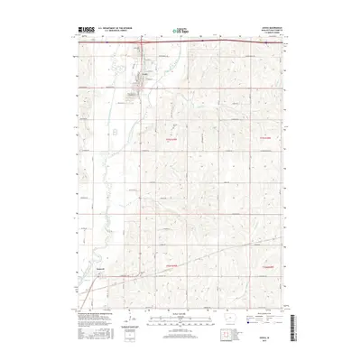
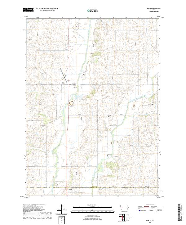 2022 Corley2022 Print · USGSShelby and Pottawattamie counties are captured in the early 2020s, showing a landscape defined by the winding West Nishnabotna River. Genealogists can locate several historic burial sites, such as Cuppys Grove Cem, Lee Cem, and Jacobson Cem.
 - 2022 Map of Avoca, 2022 Print
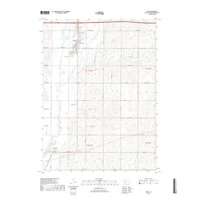
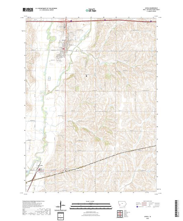 2022 Avoca2022 Print · USGSThe Nishnabotna River valley near Avoca is documented here as it appeared in the early twenty-first century. Researchers can locate local landmarks like Graceland Cem and Oak Hill Cem, or trace the winding courses of Jim Cr and Ballard Cr.
End of results
Showing maps 1-18 of 18
Top cities near Avoca
- Harlan historical maps
- Oakland historical maps
- Walnut historical maps
- Shelby historical maps
- Minden historical maps
- Hancock historical maps
See more
Frequently asked questions
- What are the different types of historical maps available for Avoca?
- What is the oldest map of Avoca?
- Where can I purchase historical maps of Avoca for my home or office?
- Where can I download high-res historical maps of Avoca?
- Are there historical topographic maps available for Avoca?
- Is there historical aerial imagery available for Avoca?
- Where are historical maps of Avoca sourced from?