2020s Maps of Avoca, Iowa
Explore 2 historic maps of Avoca from the 2020s. These maps offer a rare glimpse into what life looked like during the 2020s — showing old roads, neighborhoods, homes, and landmarks that have changed or disappeared over time.
Whether you're researching your family's past, planning a metal detecting trip, or studying how Avoca's landscape evolved across the 2020s, these high-resolution maps are a powerful tool for exploring the history of this region.
- Focus on a specific era: All maps on this page are from the 2020s, giving you a focused view of this time period.
- See what’s changed: Compare century-old streets, trails, and buildings to today's modern landscape using overlays and satellite layers.
- Research with precision: Use these maps for genealogy, historical research, land use analysis, or educational projects.
- View, download, or print: Maps are fully viewable online in high resolution, and can be downloaded or printed for your own records.
Start exploring Avoca's history through authentic maps from the 2020s. This is your window into the past.
Avoca, IA maps
(2)- 2022 Map of Corley, 2022 Print
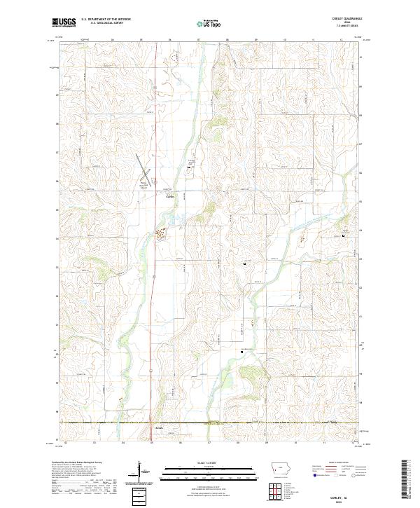 2022 Corley2022 Print · USGSShelby and Pottawattamie counties are captured in the early 2020s, showing a landscape defined by the winding West Nishnabotna River. Genealogists can locate several historic burial sites, such as Cuppys Grove Cem, Lee Cem, and Jacobson Cem.
 - 2022 Map of Avoca, 2022 Print
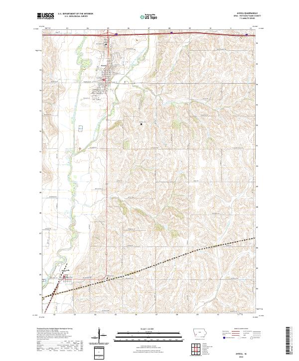 2022 Avoca2022 Print · USGSThe Nishnabotna River valley near Avoca is documented here as it appeared in the early twenty-first century. Researchers can locate local landmarks like Graceland Cem and Oak Hill Cem, or trace the winding courses of Jim Cr and Ballard Cr.
End of results
Showing maps 1-2 of 2
Top cities near Avoca
- Harlan historical maps
- Oakland historical maps
- Walnut historical maps
- Shelby historical maps
- Minden historical maps
- Hancock historical maps
See more
Frequently asked questions
- What are the different types of historical maps available for Avoca?
- What is the oldest map of Avoca?
- Where can I purchase historical maps of Avoca for my home or office?
- Where can I download high-res historical maps of Avoca?
- Are there historical topographic maps available for Avoca?
- Is there historical aerial imagery available for Avoca?
- Where are historical maps of Avoca sourced from?