Old Maps of Golden Spike Mobile Home Park, Council Bluffs for Genealogy
Trace your family roots with 18 historic maps of Golden Spike Mobile Home Park. These high-res maps reveal old neighborhoods, homesites, landmarks, and streets — helping you uncover where your ancestors lived and how the area evolved over time.
- Explore historic neighborhoods: Identify where your relatives may have lived in the 1800s or 1900s.
- Compare maps over time: Trace the changes in streets, buildings, and landmarks for multi-generational research.
- Perfect for genealogy & ancestry research: Used by family historians and researchers to map out lineage and migration.
These maps are an incredible resource for exploring your personal connection to Golden Spike Mobile Home Park's past.
Golden Spike Mobile Home Park, Council Bluffs maps
(18)- 1893 Map of Omaha
 1893 Omaha1893 Print · USGSThe Missouri River valley at the close of the 19th century shows a landscape defined by industrial expansion and volatile waterways. Genealogists and historians can trace early street layouts in Omaha and Council Bluffs or locate old crossings near Florence and Crescent.
 - 1954 Map of Omaha, 1967 Print
 1954 Omaha1967 Print · USGSMid-century development radiates from the river bluffs into the agricultural heartland during this period of post-war growth. Genealogists and historians can trace rail-connected towns like Atlantic and Red Oak or locate the sprawling grounds of Offutt Air Force Base and Manawa Lake.3 unique versions available
 - 1956 Map of Council Bluffs North, 1958 Print
 1956 Council Bluffs North1958 Print · USGSCouncil Bluffs and the surrounding loess hills of Pottawattamie County are shown here in the mid-fifties. Researchers can find numerous local landmarks, from Walnut Hill Cem and Lincoln High Sch to the rail lines of the Chicago Great Western.4 unique versions available
 - 1956 Map of Omaha North, 1958 Print
 1956 Omaha North1958 Print · USGSNorth Omaha and the Missouri River bottoms are shown in the mid-fifties as the city’s industrial and educational footprint expanded. Researchers can trace historic institutions like Fort Omaha, Creighton University, and the Omaha Municipal Airport.5 unique versions available
 - 1957 Map of Omaha
 1957 Omaha1957 Print · USGSWestern Iowa and the Missouri River valley are seen here in the mid-fifties during the height of the rail-and-road era. Researchers can trace the sprawling rail lines of the Chicago And North Western or locate Cold War landmarks like Offutt Air Force Base.
 - 1958 Map of Omaha
 1958 Omaha1958 Print · USGSOmaha and Council Bluffs stand at the center of this mid-fifties landscape, where the Missouri River splits the urban plains of Nebraska from the rolling hills of western Iowa. Genealogists can trace the rail lines of the Wabash RR and Illinois Central RR to rural settlements like Missouri Valley and Red Oak.2 unique versions available
 - 1985 Map of Omaha
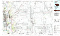 1985 Omaha1985 Print · USGSMid-century development and heavy rail infrastructure define the Missouri River corridor between Nebraska and Iowa. Genealogists and local historians can trace the footprints of Offutt Air Force Base, Forest Lawn Cemetery, and the Iowa School for the Deaf.2 unique versions available
 - 1994 Map of Council Bluffs North
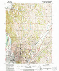 1994 Council Bluffs North1994 Print · USGSCouncil Bluffs and the Missouri River bluffs appear in the 1990s during a period of steady growth and civic development. Genealogists and historians can trace local landmarks like St Marys Cem, the Lewis & Clark Hist Mon, and the Glendale Sch.
 - 1994 Map of Omaha North, 1995 Print
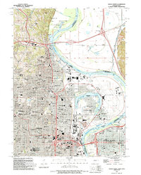 1994 Omaha North1995 Print · USGSThe northern reaches of Omaha and the Missouri River floodplains are captured here in the mid-1990s. Researchers can locate landmark institutions like Creighton University and St Cecilia Cathedral, or trace family roots in the large Forest Lawn Cemetery.
 - 2010 Map of Council Bluffs North, 2010 Print
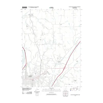 2010 Council Bluffs North2010 Print · USGSCouncil Bluffs and the northern Iowa-Nebraska borderlands are shown here in the early twenty-first century. Researchers can trace numerous local burial sites like Hazel Dell Cemetery and Fairview Cemetery or locate the historic Crescent Post Office.
 - 2011 Map of Omaha North, 2011 Print
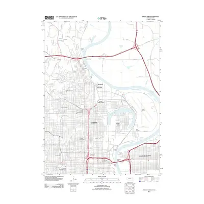 2011 Omaha North2011 Print · USGSOmaha and Council Bluffs are shown in great detail during the early twenty-first century, highlighting the corridor along the Missouri River. Researchers can trace urban development and local history at sites like the Mormon Cemetery, Eppley Airfield, and Creighton University.
 - 2013 Map of Council Bluffs North, 2013 Print
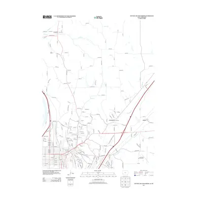 2013 Council Bluffs North2013 Print · USGSThe bluffs and drainage basins north of Omaha come into sharp focus in the early 2010s. Researchers can trace the path of the Old Lincoln Hwy past settlements like Crescent and institutions such as Iowa Western Community College.
 - 2014 Map of Omaha North, 2014 Print
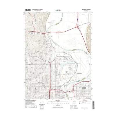 2014 Omaha North2014 Print · USGSThe riverfront of Omaha and Council Bluffs is shown in detail during the early 2010s, highlighting the complex border at Carter Lake. Researchers can trace urban development and local history through landmarks like Creighton Univ and the Mormon Cem.
 - 2015 Map of Council Bluffs North, 2015 Print
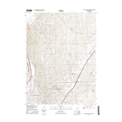 2015 Council Bluffs North2015 Print · USGSThe Missouri River bluffs and the expanding urban footprint of Council Bluffs are documented here during the mid-2010s. Researchers can locate numerous local burial sites like Cedar Lawn Cem and Hazel Dell Cem or trace the path of the Lewis and Clark Monument Trail.
 - 2017 Map of Omaha North, 2017 Print
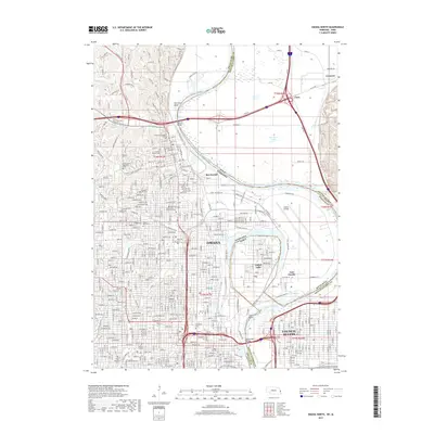 2017 Omaha North2017 Print · USGSThe Missouri River waterfront and the state line between Omaha and Council Bluffs are meticulously detailed in this recent study. Researchers can trace historical sites like the Mormon Pioneer Cem, locate academic landmarks such as Creighton Univ, and examine the intricate geography of Carter Lake.
 - 2018 Map of Council Bluffs North, 2018 Print
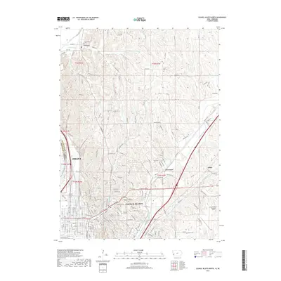 2018 Council Bluffs North2018 Print · USGSThe Missouri River border between Iowa and Nebraska is captured here as it appeared in the late 2010s. Researchers can trace numerous local burial grounds such as Hazel Dell Cem and Saint Joseph Cem or explore the northern reaches of Council Bluffs.
 - 2021 Map of Omaha North, 2021 Print
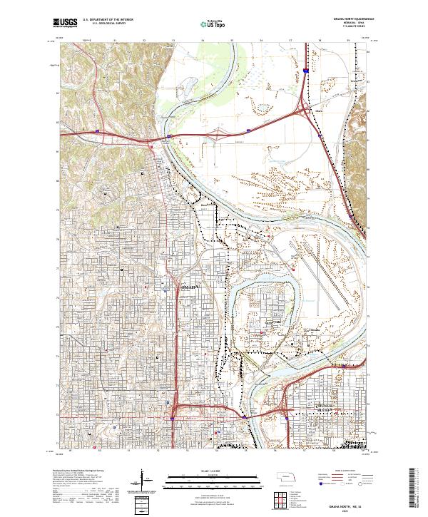 2021 Omaha North2021 Print · USGSOmaha and Council Bluffs stand on opposite banks of the Missouri River in this recent survey of these historic Missouri Valley hubs. Researchers can trace urban development and family history through numerous landmarks like Prospect Hill Cem, Creighton University, and Eppley Airfield.
 - 2022 Map of Council Bluffs North, 2022 Print
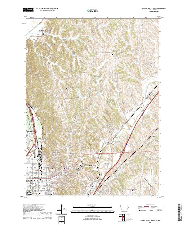 2022 Council Bluffs North2022 Print · USGSThe loess hills and river valleys north of Council Bluffs are captured here in recent years, showing the blend of urban expansion and historic rural settlements. Genealogists can locate numerous burial sites like Fairview Cem and Hazel Dell Cem or trace the original route of the Old Lincoln Hwy.
End of results
Showing maps 1-18 of 18
Frequently asked questions
- What are the different types of historical maps available for Golden Spike Mobile Home Park?
- What is the oldest map of Golden Spike Mobile Home Park?
- Where can I purchase historical maps of Golden Spike Mobile Home Park for my home or office?
- Where can I download high-res historical maps of Golden Spike Mobile Home Park?
- Are there historical topographic maps available for Golden Spike Mobile Home Park?
- Is there historical aerial imagery available for Golden Spike Mobile Home Park?
- Where are historical maps of Golden Spike Mobile Home Park sourced from?