Old Maps of Pigeon, Iowa for Genealogy
Trace your family roots with 12 historic maps of Pigeon. These high-res maps reveal old neighborhoods, homesites, landmarks, and streets — helping you uncover where your ancestors lived and how the area evolved over time.
- Explore historic neighborhoods: Identify where your relatives may have lived in the 1800s or 1900s.
- Compare maps over time: Trace the changes in streets, buildings, and landmarks for multi-generational research.
- Perfect for genealogy & ancestry research: Used by family historians and researchers to map out lineage and migration.
These maps are an incredible resource for exploring your personal connection to Pigeon's past.
Pigeon, IA maps
(12)- 1893 Map of Omaha
 1893 Omaha1893 Print · USGSThe Missouri River valley at the close of the 19th century shows a landscape defined by industrial expansion and volatile waterways. Genealogists and historians can trace early street layouts in Omaha and Council Bluffs or locate old crossings near Florence and Crescent.
 - 1954 Map of Omaha, 1967 Print
 1954 Omaha1967 Print · USGSMid-century development radiates from the river bluffs into the agricultural heartland during this period of post-war growth. Genealogists and historians can trace rail-connected towns like Atlantic and Red Oak or locate the sprawling grounds of Offutt Air Force Base and Manawa Lake.3 unique versions available
 - 1957 Map of Omaha
 1957 Omaha1957 Print · USGSWestern Iowa and the Missouri River valley are seen here in the mid-fifties during the height of the rail-and-road era. Researchers can trace the sprawling rail lines of the Chicago And North Western or locate Cold War landmarks like Offutt Air Force Base.
 - 1957 Map of Honey Creek, 1958 Print
 1957 Honey Creek1958 Print · USGSWestern Iowa's Loess Hills landscape is captured here in the late fifties, showing the rural townships of Rockford, Boomer, and Crescent. Genealogists can locate family burial sites at St Bridgett Cem and trace the original rural school districts like School No 9.2 unique versions available
 - 1958 Map of Omaha
 1958 Omaha1958 Print · USGSOmaha and Council Bluffs stand at the center of this mid-fifties landscape, where the Missouri River splits the urban plains of Nebraska from the rolling hills of western Iowa. Genealogists can trace the rail lines of the Wabash RR and Illinois Central RR to rural settlements like Missouri Valley and Red Oak.2 unique versions available
 - 1985 Map of Omaha
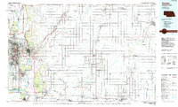 1985 Omaha1985 Print · USGSMid-century development and heavy rail infrastructure define the Missouri River corridor between Nebraska and Iowa. Genealogists and local historians can trace the footprints of Offutt Air Force Base, Forest Lawn Cemetery, and the Iowa School for the Deaf.2 unique versions available
 - 1994 Map of Honey Creek
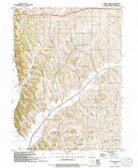 1994 Honey Creek1994 Print · USGSIn the hills of Pottawattamie County during the mid-nineties, the landscape preserves a mix of traditional rural centers and modern recreational development. Researchers can trace family sites like St Bridgett Cem or visit the Townhall and local St Johns Ch.
 - 2010 Map of Honey Creek, 2010 Print
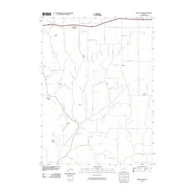 2010 Honey Creek2010 Print · USGSNear the Missouri River valley in the early twenty-first century, this landscape shows a dense network of rural settlements and family heritage sites. Genealogists can trace family names at Branson and Reels, or locate the Mount Crescent Ski Area.
 - 2013 Map of Honey Creek, 2013 Print
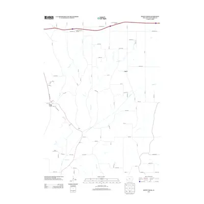 2013 Honey Creek2013 Print · USGSPottawattamie County's rolling landscape near the Missouri River is captured here in the early twenty-first century. Researchers can trace the drainage of Pigeon Creek and Honey Creek, locate the Mount Crescent Ski Area, and follow the path of the Old Lincoln Highway.
 - 2015 Map of Honey Creek, 2015 Print
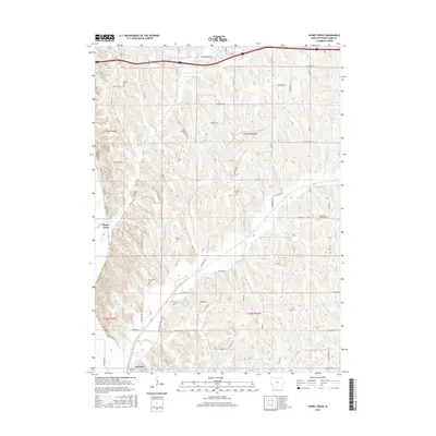 2015 Honey Creek2015 Print · USGSThe hills of Pottawattamie County are mapped in the mid-2010s, showcasing the rural landscapes north of Council Bluffs. Researchers can trace numerous burial sites like Saint Bridgett Cemetery and Reels Cemetery along the Old Lincoln Highway.
 - 2018 Map of Honey Creek, 2018 Print
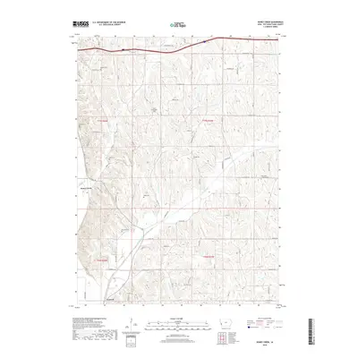 2018 Honey Creek2018 Print · USGSThe hills of Pottawattamie County come alive in this recent survey of Honey Creek and Crescent. Family historians can locate numerous burial grounds, from Saint Bridgett Cem to McIntosh Cem, along the banks of Pigeon Creek.
 - 2022 Map of Honey Creek, 2022 Print
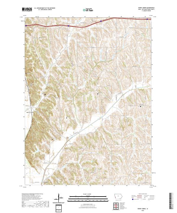 2022 Honey Creek2022 Print · USGSIn the bluffs of western Iowa, this recent survey shows the enduring settlement patterns around Honey Creek and Crescent. Genealogists can trace local history through numerous sites like Allen Cem, Grange Cem, and McIntosh Cem along the Old Lincoln Hwy.
End of results
Showing maps 1-12 of 12
Top cities near Pigeon
- Omaha historical maps
- Council Bluffs historical maps
- Carter Lake historical maps
- Missouri Valley historical maps
- Logan historical maps
- Treynor historical maps
See more
Frequently asked questions
- What are the different types of historical maps available for Pigeon?
- What is the oldest map of Pigeon?
- Where can I purchase historical maps of Pigeon for my home or office?
- Where can I download high-res historical maps of Pigeon?
- Are there historical topographic maps available for Pigeon?
- Is there historical aerial imagery available for Pigeon?
- Where are historical maps of Pigeon sourced from?