2000s (21st Century) Maps of Scott County, Iowa
Explore 105 historic maps of Scott County from the 2000s (21st Century). These maps offer a rare glimpse into what life looked like during the 2000s — showing old roads, neighborhoods, homes, and landmarks that have changed or disappeared over time.
Whether you're researching your family's past, planning a metal detecting trip, or studying how Scott County's landscape evolved across the 2000s, these high-resolution maps are a powerful tool for exploring the history of this region.
- Focus on a specific era: All maps on this page are from the 2000s, giving you a focused view of this time period.
- See what’s changed: Compare century-old streets, trails, and buildings to today's modern landscape using overlays and satellite layers.
- Research with precision: Use these maps for genealogy, historical research, land use analysis, or educational projects.
- View, download, or print: Maps are fully viewable online in high resolution, and can be downloaded or printed for your own records.
Start exploring Scott County's history through authentic maps from the 2000s. This is your window into the past.
Scott County, IA maps
(105)- 2000 Map of Milan, 2001 Print
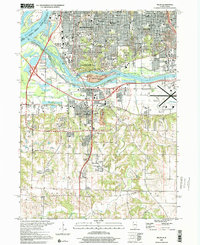 2000 Milan2001 Print · USGSThe Quad Cities region comes into sharp focus at the end of the century, where the river-based industrial legacy meets modern suburban expansion. Researchers can trace family sites from Chippiannock Cem to rural outposts like Coyne Center and Oak Grove.
 - 2010 Map of McCausland, 2010 Print
 2010 McCausland2010 Print · USGSScott County enters the twenty-first century as a landscape of deep frontier roots and quiet rural settlements. Researchers can trace the legacy of the Old West at the Buffalo Bill Cody Homestead or locate family plots at Salem Cemetery and McCausland Cemetery.
 - 2010 Map of Lowden, 2010 Print
 2010 Lowden2010 Print · USGSCedar County's agricultural heartland is documented here at the turn of the decade, centered on the historic rail-side town of Lowden. Family historians can trace local roots through numerous burial sites like Van Horn Cemetery and the Pioneer Cemetery.
 - 2010 Map of Grand Mound, 2010 Print
 2010 Grand Mound2010 Print · USGSThe rural agricultural landscape around Grand Mound is documented here during the early twenty-first century. Genealogists can trace family footprints across numerous local burial sites including Kvindherred Cemetery, Mowder Cemetery, and Evergreen Cemetery.
 - 2010 Map of Donahue, 2010 Print
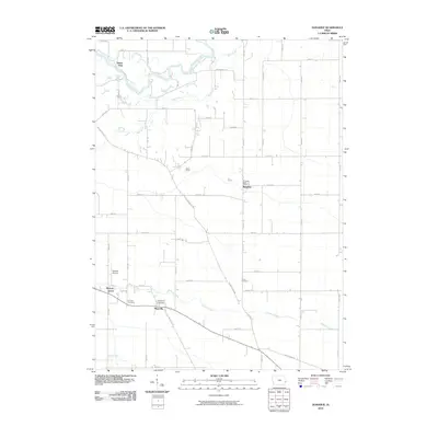 2010 Donahue2010 Print · USGSScott County's fertile farm country is captured here during the first decade of the 2000s, centered on the rural crossroads of Donahue. Local historians can trace family roots through several dedicated burial grounds like Maysville Cemetery or locate the site of the Donahue Post Office.
 - 2010 Map of De Witt, 2010 Print
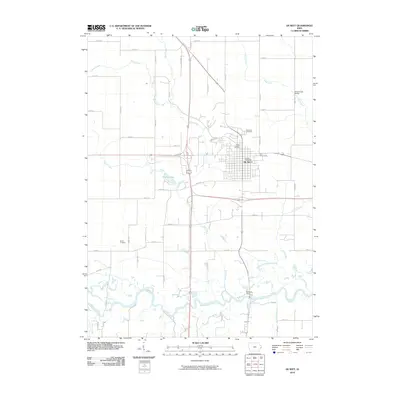 2010 De Witt2010 Print · USGSDe Witt and the fertile valley of the Wapsipinicon River are captured here at the start of the 2010s. Genealogists can locate family sites at Saint Joseph Cemetery or Smith Cemetery, while tracing local landmarks like the 4-H Fairgrounds.
 - 2010 Map of Malone, 2010 Print
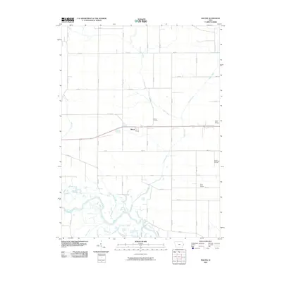 2010 Malone2010 Print · USGSIn the fertile lowlands of Clinton and Scott counties during the early 21st century, the rural landscape is anchored by the Wapsipinicon River. Family history researchers can trace local roots at Pehlarm Cemetery or explore the settlement area of Malone along the Old Hwy 30 corridor.
 - 2010 Map of Wheatland, 2010 Print
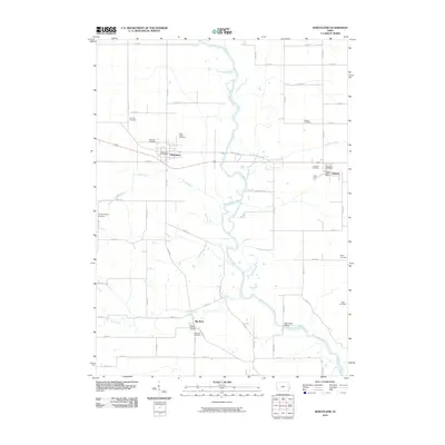 2010 Wheatland2010 Print · USGSEast-central Iowa farming life is recorded here in the first decade of the new millennium, centered on the Wapsipinicon River corridor. Genealogists can locate several local burial sites including Saint Patricks Cemetery and Pine Hill Cemetery.
 - 2010 Map of Walcott, 2010 Print
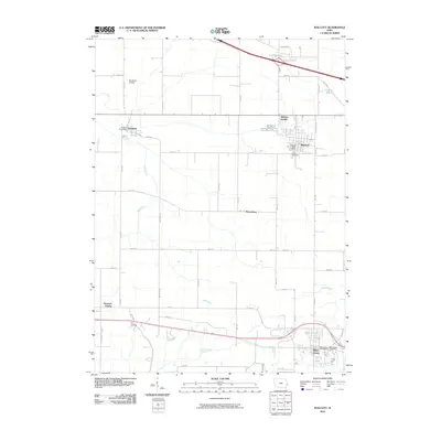 2010 Walcott2010 Print · USGSEastern Iowa agricultural life and small-town development are visible in the Scott County countryside near Walcott and Blue Grass. Local history researchers can locate the Workman Airfield, find family burial sites at Parr Cemetery, and trace the paths of Mud Creek.
 - 2010 Map of Andalusia, 2010 Print
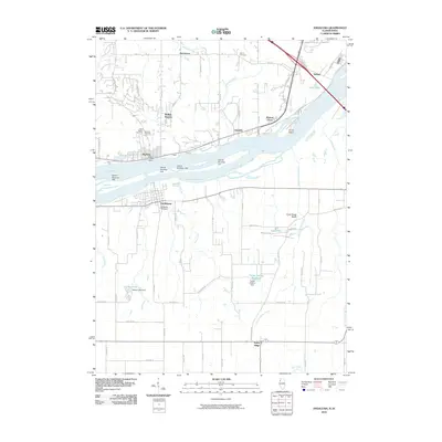 2010 Andalusia2010 Print · USGSThe riverfront settlements of Buffalo and Andalusia sit on opposite banks of the Mississippi River during the early twenty-first century. Researchers can trace local lineage at Rose Hill Cemetery or explore the drainage of Turkey Hollow Creek near the Army Ridge Bluffs.
 - 2010 Map of Durant, 2010 Print
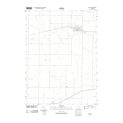 2010 Durant2010 Print · USGSEastern Iowa at the dawn of the new millennium shows the steady growth of Durant along the Cedar Scott Co Line. Genealogists and local historians can locate several family-named landmarks including Doran Cemetery, Melpine Cemetery, and Durant Cemetery.
 - 2010 Map of Montpelier, 2010 Print
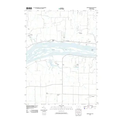 2010 Montpelier2010 Print · USGSThe Mississippi River corridor between Iowa and Illinois is captured here in the early twenty-first century, showing the complex braids of Velie Chute. Researchers can locate historic sites like Old Pine Creek Mill, Dodge Cemetery, and the Buffalo Prairie Town Hall.
 - 2010 Map of Eldridge, 2010 Print
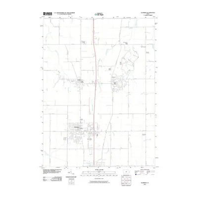 2010 Eldridge2010 Print · USGSScott County's residential and agricultural landscape comes into focus here at the beginning of the twenty-first century. Genealogists and local historians can trace family plots at Kay Family Cemetery or visit the preserved Walnut Grove Pioneer Village near Park View.
 - 2010 Map of Dixon, 2010 Print
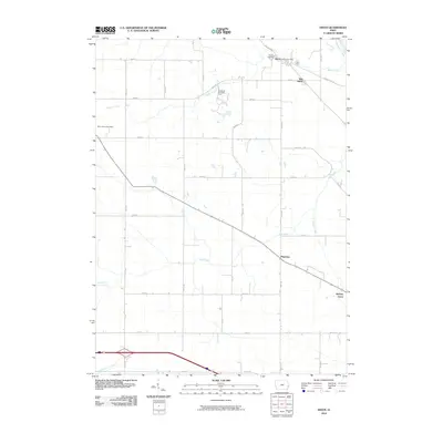 2010 Dixon2010 Print · USGSScott County farmland meets the river in the twenty-first century, showing the enduring grid of rural Iowa life. Researchers can locate the Dixon Cemetery, trace the bends of the Wapsipinicon River, and find the Conestoga Girl Scout Camp.
 - 2010 Map of Port Byron, 2010 Print
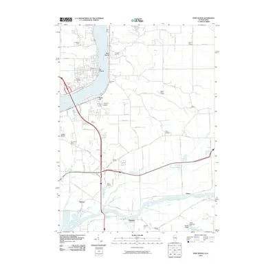 2010 Port Byron2010 Print · USGSThe riverfront communities of the Mississippi and Rock rivers are captured here during a period of modern growth. Genealogists can locate family landmarks like the Schäefer Family Cemetery, Dana Edwards Cemetery, and the Le Claire Post Office.
 - 2010 Map of Bennett, 2010 Print
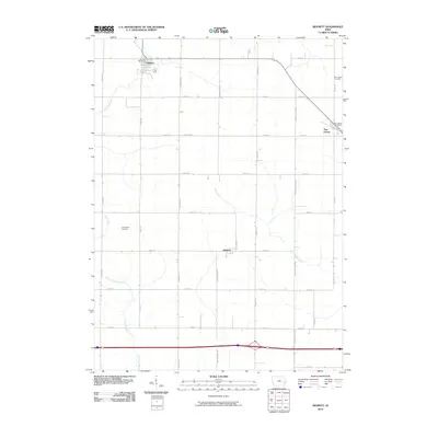 2010 Bennett2010 Print · USGSEastern Iowa's agricultural landscape is captured here during the first decade of the 21st century, showing the enduring rural grid of Cedar County. Genealogists can locate family landmarks such as New Liberty Cemetery and Farmington Cemetery or the hub at Bennett.
 - 2010 Map of Cordova, 2010 Print
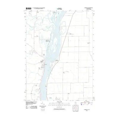 2010 Cordova2010 Print · USGSThe Mississippi River border between Illinois and Iowa comes alive in this 2010 survey of the river's confluence with the Wapsipinicon. Local historians can trace family plots at Oak Ridge Cemetery or explore the settlement patterns of Princeton and Cordova.
 - 2010 Map of Davenport West, 2010 Print
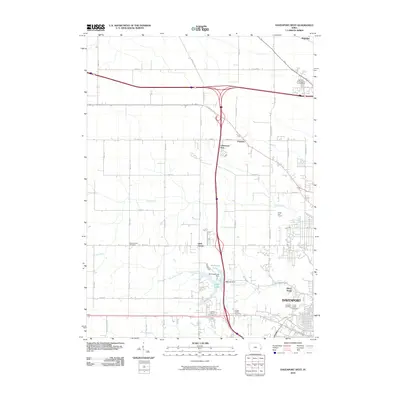 2010 Davenport West2010 Print · USGSDavenport and its western outskirts are captured here during a period of steady suburban expansion across the Iowa prairie. Researchers can trace family history through several burial sites like the Kisenmacher Cemetery or the Friday Family Cemetery, and locate small communities such as Probstei and Little Groves.
 - 2010 Map of Silvis, 2010 Print
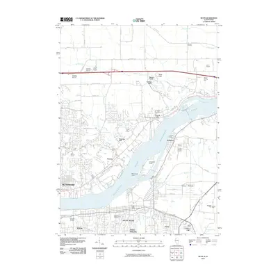 2010 Silvis2010 Print · USGSThe Mississippi River divides Iowa and Illinois in this 2010 survey of the Quad Cities area. Researchers can trace family history through sites like Saint Mary's Catholic Church Cemetery and the riverfront communities of Hampton and Riverdale.
 - 2010 Map of Davenport East, 2010 Print
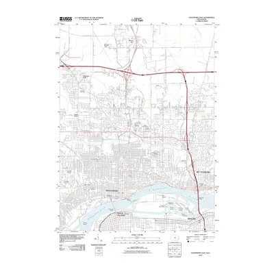 2010 Davenport East2010 Print · USGSThe Quad Cities area at the start of the 2010s shows a complex network of river industry and urban expansion. Genealogists and historians can trace significant burial sites like the Rock Island National Cemetery and Oakdale Cemetery, or locate landmarks such as the Government Bridge.
 - 2012 Map of Milan, 2012 Print
 2012 Milan2012 Print · USGSThe Illinois-Iowa borderlands are captured here in the early twenty-first century as the Quad Cities expand south of the Rock River. Genealogists can locate family sites at Chippiannock Cemetery or William Carr Cemetery, while others trace the growth of Milan and Coyne Center.2 unique versions available
 - 2012 Map of Cordova, 2012 Print
 2012 Cordova2012 Print · USGSThe Mississippi River corridor near the Illinois and Iowa border comes into focus in the early 2010s. Genealogists and local historians can trace legacy sites like Princeton City Cem and Nowlin Cem or explore landmarks like Adams Island.
 - 2012 Map of Port Byron, 2012 Print
 2012 Port Byron2012 Print · USGSThe riverfront communities of Port Byron and Le Claire face each other across the Mississippi River in this 2012 survey. Genealogists and local historians can trace family roots through several landmarks, including Zion Lutheran Church Cem and Port Byron Cem.
 - 2012 Map of Andalusia, 2012 Print
 2012 Andalusia2012 Print · USGSThe Mississippi River corridor between Iowa and Illinois is captured here in the early 2010s, showing a landscape defined by island channels and bluff-side settlements. Local historians can trace the layouts of Buffalo, Andalusia, and Nahant, or locate family sites near Rose Hill Cem and the Turkey Hollow Reservoir.
 - 2012 Map of Silvis, 2012 Print
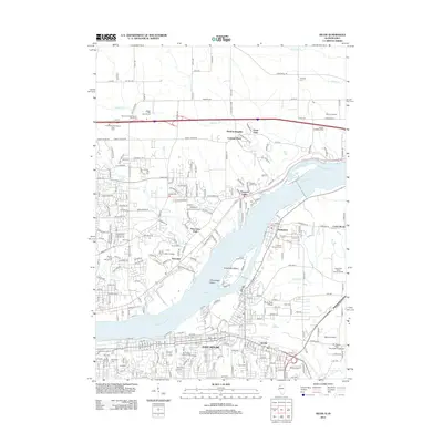 2012 Silvis2012 Print · USGSDavenport and the Quad Cities area show significant industrial and educational growth along the Mississippi River in the early twenty-first century. Genealogists and local historians can trace old community boundaries through Riverside Cem, Scott Community College, and the riverside town of Hampton.
Showing maps 1-25 of 105
Top cities of Scott County
- Davenport historical maps
- Park View historical maps
- Blue Grass historical maps
- Walcott historical maps
- Princeton historical maps
- Long Grove historical maps
See more
Frequently asked questions
- What are the different types of historical maps available for Scott County?
- What is the oldest map of Scott County?
- Where can I purchase historical maps of Scott County for my home or office?
- Where can I download high-res historical maps of Scott County?
- Are there historical topographic maps available for Scott County?
- Is there historical aerial imagery available for Scott County?
- Where are historical maps of Scott County sourced from?