Old Maps of Black Hawk, Davenport for Metal Detecting
Plan your next treasure hunt with 15 historic maps of Black Hawk. Find old homesites, ghost towns, trails, and gathering spots that may be lost to time — perfect for identifying promising metal detecting locations.
- Locate forgotten sites: Uncover places like long-lost settlements, abandoned rail lines, or gathering spots.
- Plan better hunts: Use map overlays combined with LiDAR or satellite views to narrow in on historically rich areas.
- Made for detectorists: Thousands of hobbyists use these maps to discover relics, coins, and hidden history.
Use these historic maps to boost your research and find new opportunities beneath the surface of Black Hawk.
Black Hawk, Davenport maps
(15)- 1891 Map of Davenport
 1891 Davenport1891 Print · USGSIowa's riverfront and rolling prairie townships are captured here during a period of rapid railroad expansion in the late nineteenth century. Trace early land tracts and rail junctions like Eldridge Junction or locate landmarks such as Green Tree Tavern and Maysville.
 - 1894 Map of Davenport
 1894 Davenport1894 Print · USGSDavenport and the surrounding Scott County prairies come alive in this late nineteenth-century survey of the Mississippi River front. Researchers can trace the early rail networks through Eldridge Junction and locate vanished landmarks like Green Tree Tavern and Gilbertown.4 unique versions available
 - 1901 Map of Rock Island
 1901 Rock Island1901 Print · USGSThe eastern Iowa borderlands and the Mississippi River confluence thrive during the rail boom of the late nineteenth century. Genealogists and historians can trace family roots through numerous small settlements like Lost Nation, Grand Mound, and the vital U. S. Arsenal grounds.2 unique versions available
 - 1910 Map of Rock Island, 1949 Print
 1910 Rock Island1949 Print · USGSEastern Iowa and the Illinois borderlands come alive in this late nineteenth-century survey of the river valleys and rail hubs. Genealogists and historians can trace old homesteads near Lost Nation, the early streets of Dewitt, and the sprawling U.S. Arsenal.
 - 1953 Map of Davenport West, 1958 Print
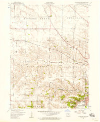 1953 Davenport West1958 Print · USGSThe western edges of Davenport and the surrounding Scott County townships are captured here in the early fifties. Genealogists and local historians can trace rural school districts from Fairview School to School No. 5 and locate family burial sites like Friday Family Cemetery.3 unique versions available
 - 1958 Map of Davenport, 1968 Print
 1958 Davenport1968 Print · USGSEastern Iowa and western Illinois thrive along the river during the late fifties, defined by the industrial Quad Cities and a robust rail network. Genealogists can trace family roots through settlements like Oasis and Stanwood or along the Cedar River.2 unique versions available
 - 1961 Map of Davenport
 1961 Davenport1961 Print · USGSThe Quad Cities and the eastern Iowa riverlands are captured here in the early sixties, showing the region's transition into a modern industrial and transit hub. Genealogists and historians can trace the paths of major railroads and find river landmarks like Rock Island Arsenal, Huron Island, and the Coralville Reservoir.
 - 1962 Map of Davenport
 1962 Davenport1962 Print · USGSThe Quad Cities and the Mississippi River corridor are shown at their industrial peak just before the interstate era fully transformed the region. Researchers can trace the sprawling rail networks of the Chicago Rock Island and Pacific and find landmarks like the Rock Island Arsenal and Wild Cat Den State Park.
 - 1984 Map of Davenport, 1985 Print
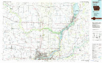 1984 Davenport1985 Print · USGSThe Quad Cities and the eastern Iowa riverlands are captured in the mid-eighties as industry and conservation converged along the Mississippi. Genealogists and local historians can trace rural roots through Stender Church, Oxford Mills, and the Elmwood Cem burial grounds.2 unique versions available
 - 1991 Map of Davenport West, 1992 Print
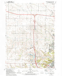 1991 Davenport West1992 Print · USGSDavenport's western periphery in the early nineties shows a landscape of suburban growth meeting traditional Iowa farm townships. Genealogists and local historians can trace family burial sites like Kisenmacher Cem and Friday Family Cem or find established institutions like West High Sch.
 - 2010 Map of Davenport West, 2010 Print
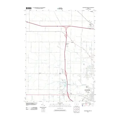 2010 Davenport West2010 Print · USGSCovers Black Hawk, including Davenport, Eldridge, and other nearby areas
 - 2013 Map of Davenport West, 2013 Print
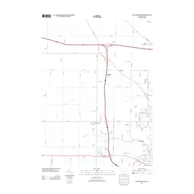 2013 Davenport West2013 Print · USGSCovers Black Hawk, including Davenport, Eldridge, and other nearby areas
 - 2015 Map of Davenport West, 2015 Print
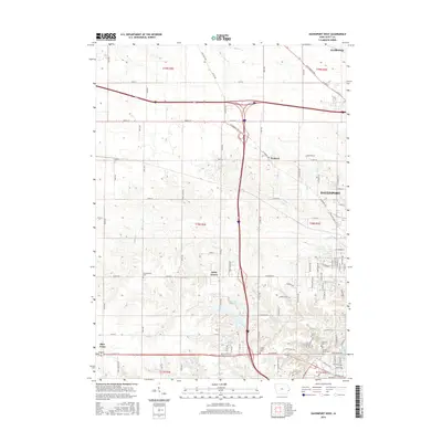 2015 Davenport West2015 Print · USGSCovers Black Hawk, including Davenport, Eldridge, and other nearby areas
 - 2018 Map of Davenport West, 2018 Print
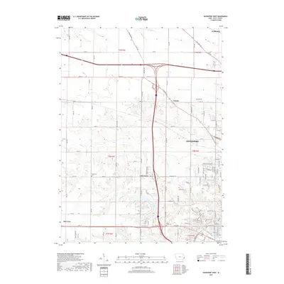 2018 Davenport West2018 Print · USGSCovers Black Hawk, including Davenport, Eldridge, and other nearby areas
 - 2022 Map of Davenport West, 2022 Print
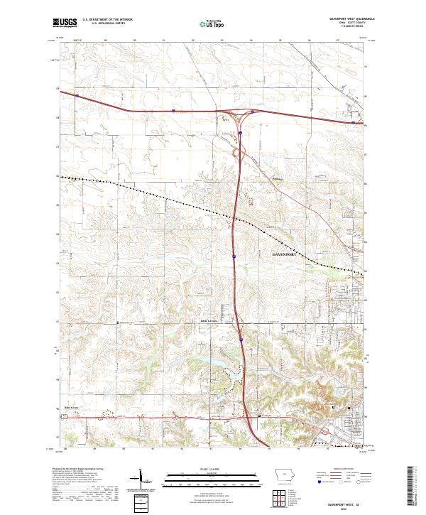 2022 Davenport West2022 Print · USGSWestern Scott County is shown in this recent survey as residential neighborhoods reach toward rural farmland. You can trace family history at the Fairmont Cem or explore the geography of Little Groves and the creeks of Duck Cr.
End of results
Showing maps 1-15 of 15
Frequently asked questions
- What are the different types of historical maps available for Black Hawk?
- What is the oldest map of Black Hawk?
- Where can I purchase historical maps of Black Hawk for my home or office?
- Where can I download high-res historical maps of Black Hawk?
- Are there historical topographic maps available for Black Hawk?
- Is there historical aerial imagery available for Black Hawk?
- Where are historical maps of Black Hawk sourced from?