1900s (20th Century) Maps of Eldridge, Iowa
Explore 16 historic maps of Eldridge from the 1900s (20th Century). These maps offer a rare glimpse into what life looked like during the 1900s — showing old roads, neighborhoods, homes, and landmarks that have changed or disappeared over time.
Whether you're researching your family's past, planning a metal detecting trip, or studying how Eldridge's landscape evolved across the 1900s, these high-resolution maps are a powerful tool for exploring the history of this region.
- Focus on a specific era: All maps on this page are from the 1900s, giving you a focused view of this time period.
- See what’s changed: Compare century-old streets, trails, and buildings to today's modern landscape using overlays and satellite layers.
- Research with precision: Use these maps for genealogy, historical research, land use analysis, or educational projects.
- View, download, or print: Maps are fully viewable online in high resolution, and can be downloaded or printed for your own records.
Start exploring Eldridge's history through authentic maps from the 1900s. This is your window into the past.
Eldridge, IA maps
(16)- 1901 Map of Rock Island
 1901 Rock Island1901 Print · USGSThe eastern Iowa borderlands and the Mississippi River confluence thrive during the rail boom of the late nineteenth century. Genealogists and historians can trace family roots through numerous small settlements like Lost Nation, Grand Mound, and the vital U. S. Arsenal grounds.2 unique versions available
 - 1910 Map of Rock Island, 1949 Print
 1910 Rock Island1949 Print · USGSEastern Iowa and the Illinois borderlands come alive in this late nineteenth-century survey of the river valleys and rail hubs. Genealogists and historians can trace old homesteads near Lost Nation, the early streets of Dewitt, and the sprawling U.S. Arsenal.
 - 1949 Map of Davenport
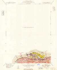 1949 Davenport1949 Print · USGSThe Quad Cities area emerged from the war years as a vital rail and river hub along the Mississippi River. Researchers can trace the complex industrial layout of Rock Island, find local landmarks like Augustana College, and locate the National Cem on the arsenal island.
 - 1953 Map of Davenport East, 1956 Print
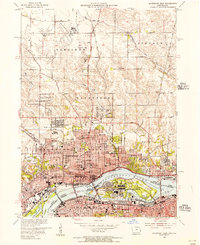 1953 Davenport East1956 Print · USGSThe Quad Cities are captured at a peak of mid-century growth, following the path of the Mississippi River and the bustling Rock Island Arsenal. Local historians can trace family roots at St Ambrose College or locate the former aviation hub at Cram Field.3 unique versions available
 - 1953 Map of Eldridge, 1957 Print
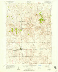 1953 Eldridge1957 Print · USGSEldridge and Long Grove are captured in the early 1950s during a period of shifting rural infrastructure in Scott County. Genealogists can trace family landmarks like Mt Joy Cemetery and schoolhouses such as Walnut Grove School or the Lone Tree School.3 unique versions available
 - 1953 Map of Donahue, 1958 Print
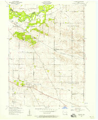 1953 Donahue1958 Print · USGSThe rural landscape of Scott County is captured in the early fifties, showing a network of township schoolhouses and river settlements. Genealogists can trace family roots through sites like Allens Grove Cemetery, Maysville, and the Donahue School.3 unique versions available
 - 1953 Map of Davenport West, 1958 Print
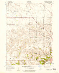 1953 Davenport West1958 Print · USGSThe western edges of Davenport and the surrounding Scott County townships are captured here in the early fifties. Genealogists and local historians can trace rural school districts from Fairview School to School No. 5 and locate family burial sites like Friday Family Cemetery.3 unique versions available
 - 1958 Map of Davenport, 1968 Print
 1958 Davenport1968 Print · USGSEastern Iowa and western Illinois thrive along the river during the late fifties, defined by the industrial Quad Cities and a robust rail network. Genealogists can trace family roots through settlements like Oasis and Stanwood or along the Cedar River.2 unique versions available
 - 1961 Map of Davenport
 1961 Davenport1961 Print · USGSThe Quad Cities and the eastern Iowa riverlands are captured here in the early sixties, showing the region's transition into a modern industrial and transit hub. Genealogists and historians can trace the paths of major railroads and find river landmarks like Rock Island Arsenal, Huron Island, and the Coralville Reservoir.
 - 1962 Map of Davenport
 1962 Davenport1962 Print · USGSThe Quad Cities and the Mississippi River corridor are shown at their industrial peak just before the interstate era fully transformed the region. Researchers can trace the sprawling rail networks of the Chicago Rock Island and Pacific and find landmarks like the Rock Island Arsenal and Wild Cat Den State Park.
 - 1984 Map of Davenport, 1985 Print
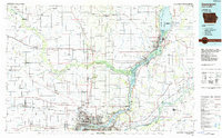 1984 Davenport1985 Print · USGSThe Quad Cities and the eastern Iowa riverlands are captured in the mid-eighties as industry and conservation converged along the Mississippi. Genealogists and local historians can trace rural roots through Stender Church, Oxford Mills, and the Elmwood Cem burial grounds.2 unique versions available
 - 1991 Map of Donahue, 1992 Print
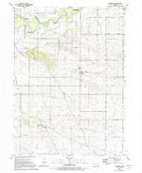 1991 Donahue1992 Print · USGSScott County farm country is captured here in the early nineties, centered on the rural junctions of Donahue and Maysville. Genealogists and researchers can trace family lands near Allens Grove Cem, locate the John Glenn Sch, or find the Stender Landing Field near the Hickory Grove line.
 - 1991 Map of Davenport West, 1992 Print
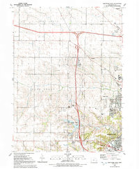 1991 Davenport West1992 Print · USGSDavenport's western periphery in the early nineties shows a landscape of suburban growth meeting traditional Iowa farm townships. Genealogists and local historians can trace family burial sites like Kisenmacher Cem and Friday Family Cem or find established institutions like West High Sch.
 - 1991 Map of Eldridge, 1992 Print
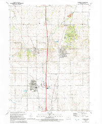 1991 Eldridge1992 Print · USGSThe community of Eldridge and its neighbors appear in the early nineties as modern development met rural tradition. Genealogists can trace family landmarks like Mt Joy Cem and St Anns Ch or explore the preserved Walnut Grove Pioneer Village.
 - 1991 Map of Davenport East, 1992 Print
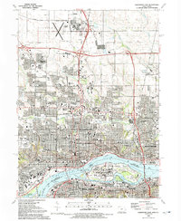 1991 Davenport East1992 Print · USGSThe Quad Cities region thrives along the river in the early nineties, showing the dense urban centers of Davenport and Rock Island. Researchers can trace the massive Rock Island Arsenal, historical burial sites like Confederate Cem, and local institutions like Augustana College.
 - 1993 Map of Davenport East, 1999 Print
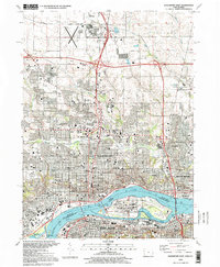 1993 Davenport East1999 Print · USGSThe Quad Cities are captured here in the 1990s, showcasing the complex urban and industrial landscape where the Iowa and Illinois borders meet. Genealogists and local historians can trace legacy sites like Oakdale Cemetery, the Rock Island Arsenal, and institutions such as Palmer College of Chiropractic.
End of results
Showing maps 1-16 of 16
Top cities near Eldridge
- Davenport historical maps
- Moline historical maps
- Bettendorf historical maps
- Rock Island historical maps
- East Moline historical maps
- Silvis historical maps
See more
Top neighborhoods of Eldridge
- Meadow View Estates historical maps
- Northland historical maps
- The Farms at Elm Creek historical maps
- Eldridge Acres historical maps
- The Village of Cobbler's Knotch historical maps
- Burmeister historical maps
Frequently asked questions
- What are the different types of historical maps available for Eldridge?
- What is the oldest map of Eldridge?
- Where can I purchase historical maps of Eldridge for my home or office?
- Where can I download high-res historical maps of Eldridge?
- Are there historical topographic maps available for Eldridge?
- Is there historical aerial imagery available for Eldridge?
- Where are historical maps of Eldridge sourced from?