Old Maps of Shelby County, Iowa for Genealogy
Trace your family roots with 94 historic maps of Shelby County. These high-res maps reveal old neighborhoods, homesites, landmarks, and streets — helping you uncover where your ancestors lived and how the area evolved over time.
- Explore historic neighborhoods: Identify where your relatives may have lived in the 1800s or 1900s.
- Compare maps over time: Trace the changes in streets, buildings, and landmarks for multi-generational research.
- Perfect for genealogy & ancestry research: Used by family historians and researchers to map out lineage and migration.
These maps are an incredible resource for exploring your personal connection to Shelby County's past.
Shelby County, IA maps
(94)- 1954 Map of Omaha, 1967 Print
 1954 Omaha1967 Print · USGSMid-century development radiates from the river bluffs into the agricultural heartland during this period of post-war growth. Genealogists and historians can trace rail-connected towns like Atlantic and Red Oak or locate the sprawling grounds of Offutt Air Force Base and Manawa Lake.3 unique versions available
 - 1957 Map of Omaha
 1957 Omaha1957 Print · USGSWestern Iowa and the Missouri River valley are seen here in the mid-fifties during the height of the rail-and-road era. Researchers can trace the sprawling rail lines of the Chicago And North Western or locate Cold War landmarks like Offutt Air Force Base.
 - 1958 Map of Omaha
 1958 Omaha1958 Print · USGSOmaha and Council Bluffs stand at the center of this mid-fifties landscape, where the Missouri River splits the urban plains of Nebraska from the rolling hills of western Iowa. Genealogists can trace the rail lines of the Wabash RR and Illinois Central RR to rural settlements like Missouri Valley and Red Oak.2 unique versions available
 - 1971 Map of Earling, 1973 Print
 1971 Earling1973 Print · USGSShelby County, Iowa, is shown in the early 1970s as a landscape of established rail lines and winding creek valleys. Researchers can trace the Chicago Milwaukee St Paul and Pacific rail corridor and locate landmarks like St Joseph Cem and Camp Manteno.
 - 1971 Map of Dunlap, 1973 Print
 1971 Dunlap1973 Print · USGSThe rail-and-river town of Dunlap is captured in the early 1970s at the meeting point of three counties. Genealogists and local historians can trace family plots at Pleasant Hill Cemetery or Township Cem and follow the old routes of the Illinois Central Gulf railroad.
 - 1971 Map of Defiance, 1973 Print
 1971 Defiance1973 Print · USGSShelby and Crawford counties are captured in the early 1970s as agricultural life centered on the river valleys and rail lines. Genealogists and local historians can locate early burial sites such as St Pauls Cem and Astor Cem or trace the routes of the Chicago Milwaukee St Paul and Pacific Railroad.
 - 1978 Map of Panama
 1978 Panama1978 Print · USGSShelby County in the late 1970s shows a landscape of steady agricultural rhythms and small-town hubs. Genealogists can locate St Marys Cem, trace the Chicago Milwaukee St Paul and Pacific rail line, and find old township landmarks like St Boniface Cem.
 - 1978 Map of Elk Horn
 1978 Elk Horn1978 Print · USGSThe Danish settlements of the Iowa plains are captured here in the late seventies as established rural communities. Genealogists can trace family roots through sites like Carlsen-Larsen Cem or explore the drainage of Elkhorn Creek and Buck Creek.
 - 1978 Map of Irwin
 1978 Irwin1978 Print · USGSShelby County farmland and the river-rail corridor are captured here during the late seventies. Family historians can locate Irwin and Botna, trace the Chicago and North Western line, and find the Oak Hill Cem.
 - 1978 Map of Kimballton
 1978 Kimballton1978 Print · USGSThe borderlands of Audubon and Shelby Counties are captured here in the late seventies, showing a landscape of productive farms and small rural centers. Researchers can trace family roots at Ebenezer Cem or locate the historic sites of Poplar, Fiscus, and Kimballton.
 - 1978 Map of Corley
 1978 Corley1978 Print · USGSShelby County farmland and river valleys are captured here in the late seventies as the river systems defined the local economy. Genealogists and historians can locate Corley, trace the Old Railroad Grade, and find Altamont Church and its cemetery.
 - 1978 Map of Persia
 1978 Persia1978 Print · USGSHarrison County farmland in the late 1970s reveals a landscape of quiet rail towns and numerous family burial grounds. Genealogists can locate Persia and Yorkshire, while tracing ancestors at Lytle Cem, Chambers Cem, or Spears Cem.
 - 1978 Map of Prairie Rose Lake
 1978 Prairie Rose Lake1978 Print · USGSShelby County's rural landscape is captured here in the late seventies, centered on the newly established recreation area at Prairie Rose Lake. Genealogists and local historians can locate community landmarks like Monroe Ch, the settlement of Christensen, and the Townhall.
 - 1978 Map of Portsmouth
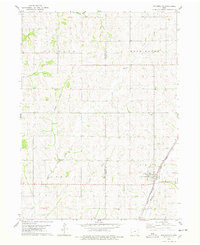 1978 Portsmouth1978 Print · USGSPortsmouth and the surrounding Iowa countryside are captured in the late seventies at a time when the Chicago Milwaukee St Paul and Pacific railroad still anchored the local economy. Genealogists and researchers can trace the rural landscape from St Marys Cem to the winding banks of Pigeon Creek and Picayune Creek.
 - 1978 Map of Harlan
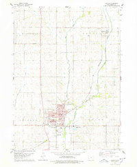 1978 Harlan1978 Print · USGSShelby County in the late seventies reveals the intersection of the Nishnabotna River valley with a thriving county seat. Local historians can trace the town layout of Harlan, find rural schoolhouses like West Ridge Sch, and locate family plots at Rose Hill Cem.
 - 1978 Map of Manning SE
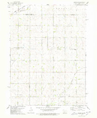 1978 Manning SE1978 Print · USGSWestern Iowa's agricultural heartland is documented here in the late seventies, where four counties converge at the headwaters of the Nishnabotna system. Genealogists and local historians can locate rural landmarks like Trinity Ch, the Township Cem, and the path of the Chicago and North Western railroad.
 - 1978 Map of Shelby
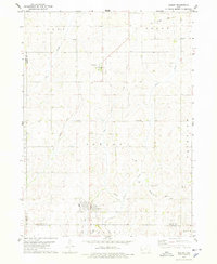 1978 Shelby1978 Print · USGSWestern Iowa's agricultural heartland is captured here in the late seventies, centered on the community of Shelby. Genealogists and rail historians can trace the Old Railroad Grade and locate local landmarks like Olson Cem and the small settlement of Tennant.
 - 1978 Map of Jacksonville
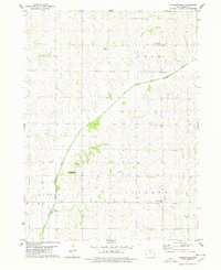 1978 Jacksonville1978 Print · USGSShelby County farmland and the drainage of the West Nishnabotna River define this rural landscape in the late seventies. Genealogists and local historians can trace the locations of the Bethlehem Ch and the Danway Cem near the settlement of Jacksonville.
 - 1980 Map of Harlan
 1980 Harlan1980 Print · USGSWestern Iowa and the Nebraska borderlands are shown in the early eighties as a vital corridor of rail and river commerce. Genealogists and local historians can trace family roots through old rural crossroads like Beebeetown and Westphalia, or locate landmarks like Rose Hill Cem.
 - 2010 Map of Jacksonville, 2010 Print
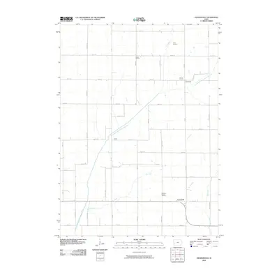 2010 Jacksonville2010 Print · USGSShelby County farmland in the early twenty-first century is defined by a dense network of country roads and the winding East Branch West Nishnabotna River. Genealogists can trace family roots through sites like Poplar Cemetery, Red Line, and the Bethlehem Lutheran Cemetery.
 - 2010 Map of Prairie Rose Lake, 2010 Print
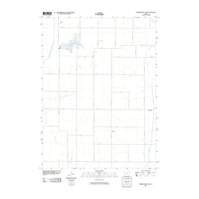 2010 Prairie Rose Lake2010 Print · USGSIowa's agricultural heartland is captured here in the early twenty-first century, featuring the expansive waters of Prairie Rose Lake. Genealogists and local historians can locate Rorbeck and the rural Folck Cemetery among the grid of county roads.
 - 2010 Map of Elk Horn, 2010 Print
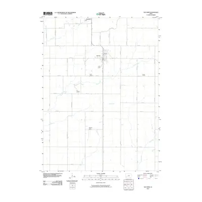 2010 Elk Horn2010 Print · USGSElk Horn and Kimballton anchor this Shelby County landscape in the early 21st century, where Danish heritage and agriculture meet. Genealogists can locate several local burial grounds including Carlsen-Larsen Cemetery and Oakfield Cemetery, or trace rural landmarks like Wheatley Farms Airport.
 - 2010 Map of Harlan, 2010 Print
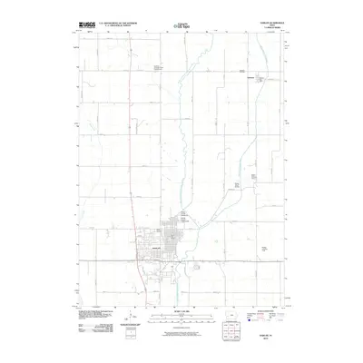 2010 Harlan2010 Print · USGSShelby County during the early twenty-first century reveals a landscape shaped by the West Nishnabotna River and its tributaries. Local historians can trace the development of Harlan and Kirkman, or locate family sites at Rabbit Hallow Cemetery and Rose Hill Cemetery.
 - 2010 Map of Corley, 2010 Print
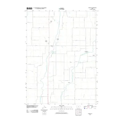 2010 Corley2010 Print · USGSWestern Iowa's river valleys and section-line roads are documented here in the first decade of the millennium. Researchers can pinpoint rural burial sites like Lee Cemetery and Altamont Cemetery or trace the drainage of the West Nishnabotna River near Corley.
 - 2010 Map of Persia, 2010 Print
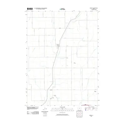 2010 Persia2010 Print · USGSPersia and its neighboring agricultural hamlets are captured here during the first decade of the millennium. Researchers can locate several family burial grounds, including Chambers and Schley, while tracing the paths of Mosquito Creek and Yorkshire.
Showing maps 1-25 of 94
Top cities of Shelby County
- Harlan historical maps
- Elk Horn historical maps
- Earling historical maps
- Irwin historical maps
- Defiance historical maps
- Panama historical maps
See more
Frequently asked questions
- What are the different types of historical maps available for Shelby County?
- What is the oldest map of Shelby County?
- Where can I purchase historical maps of Shelby County for my home or office?
- Where can I download high-res historical maps of Shelby County?
- Are there historical topographic maps available for Shelby County?
- Is there historical aerial imagery available for Shelby County?
- Where are historical maps of Shelby County sourced from?