2010s Maps of Shelby County, Iowa
Explore 60 historic maps of Shelby County from the 2010s. These maps offer a rare glimpse into what life looked like during the 2010s — showing old roads, neighborhoods, homes, and landmarks that have changed or disappeared over time.
Whether you're researching your family's past, planning a metal detecting trip, or studying how Shelby County's landscape evolved across the 2010s, these high-resolution maps are a powerful tool for exploring the history of this region.
- Focus on a specific era: All maps on this page are from the 2010s, giving you a focused view of this time period.
- See what’s changed: Compare century-old streets, trails, and buildings to today's modern landscape using overlays and satellite layers.
- Research with precision: Use these maps for genealogy, historical research, land use analysis, or educational projects.
- View, download, or print: Maps are fully viewable online in high resolution, and can be downloaded or printed for your own records.
Start exploring Shelby County's history through authentic maps from the 2010s. This is your window into the past.
Shelby County, IA maps
(60)- 2010 Map of Jacksonville, 2010 Print
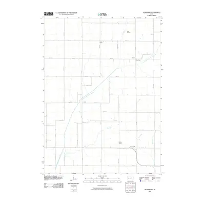 2010 Jacksonville2010 Print · USGSShelby County farmland in the early twenty-first century is defined by a dense network of country roads and the winding East Branch West Nishnabotna River. Genealogists can trace family roots through sites like Poplar Cemetery, Red Line, and the Bethlehem Lutheran Cemetery.
 - 2010 Map of Prairie Rose Lake, 2010 Print
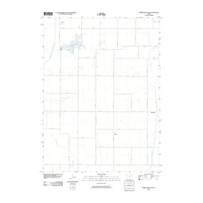 2010 Prairie Rose Lake2010 Print · USGSIowa's agricultural heartland is captured here in the early twenty-first century, featuring the expansive waters of Prairie Rose Lake. Genealogists and local historians can locate Rorbeck and the rural Folck Cemetery among the grid of county roads.
 - 2010 Map of Elk Horn, 2010 Print
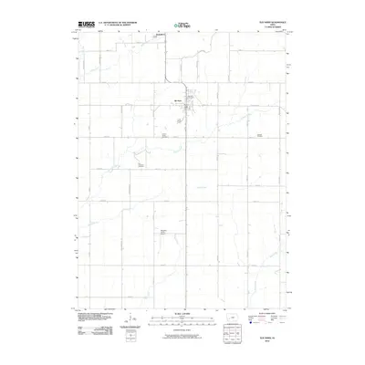 2010 Elk Horn2010 Print · USGSElk Horn and Kimballton anchor this Shelby County landscape in the early 21st century, where Danish heritage and agriculture meet. Genealogists can locate several local burial grounds including Carlsen-Larsen Cemetery and Oakfield Cemetery, or trace rural landmarks like Wheatley Farms Airport.
 - 2010 Map of Harlan, 2010 Print
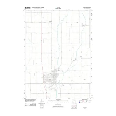 2010 Harlan2010 Print · USGSShelby County during the early twenty-first century reveals a landscape shaped by the West Nishnabotna River and its tributaries. Local historians can trace the development of Harlan and Kirkman, or locate family sites at Rabbit Hallow Cemetery and Rose Hill Cemetery.
 - 2010 Map of Corley, 2010 Print
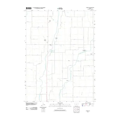 2010 Corley2010 Print · USGSWestern Iowa's river valleys and section-line roads are documented here in the first decade of the millennium. Researchers can pinpoint rural burial sites like Lee Cemetery and Altamont Cemetery or trace the drainage of the West Nishnabotna River near Corley.
 - 2010 Map of Persia, 2010 Print
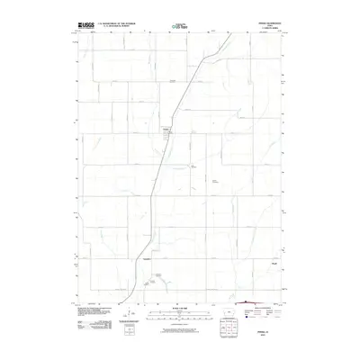 2010 Persia2010 Print · USGSPersia and its neighboring agricultural hamlets are captured here during the first decade of the millennium. Researchers can locate several family burial grounds, including Chambers and Schley, while tracing the paths of Mosquito Creek and Yorkshire.
 - 2010 Map of Manning SE, 2010 Print
 2010 Manning SE2010 Print · USGSCarroll County’s rural townships are documented here during the first decade of the new millennium. Genealogists and local historians can locate specific burial sites at Lincoln Township Cemetery and Douglas Township Cemetery along the West Nishnabotna River.
 - 2010 Map of Defiance, 2010 Print
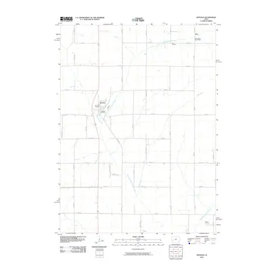 2010 Defiance2010 Print · USGSShelby County, Iowa, is mapped here in the early twenty-first century, showing a landscape defined by its river valleys and rural crossroads. Family historians can locate Saint Pauls Cemetery, the Defiance Post Office, and the settlement of Astor.
 - 2010 Map of Dunlap, 2010 Print
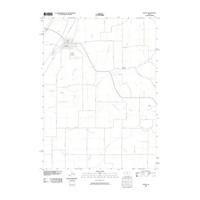 2010 Dunlap2010 Print · USGSHarrison County settlement patterns and river valley terrain are preserved in this early 21st-century record of western Iowa. Genealogists can trace family sites at Pleasant Hill Cemetery or locate the rural crossroads of Olmstead and Manteno.
 - 2010 Map of Panama, 2010 Print
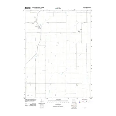 2010 Panama2010 Print · USGSShelby County in the early twenty-first century retains its deep agricultural roots and dispersed township settlements. Researchers can locate family sites near Saint Boniface Cemetery, Panama, and the small community of Roach along Mosquito Creek.
 - 2010 Map of Irwin, 2010 Print
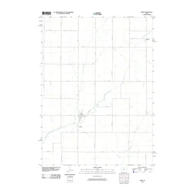 2010 Irwin2010 Print · USGSShelby County farmland and the community of Irwin are documented here in the early twenty-first century. Family historians can locate Oak Hill Cemetery and trace the paths of Elk Creek and the West Nishnabotna River through the township.
 - 2010 Map of Kimballton, 2010 Print
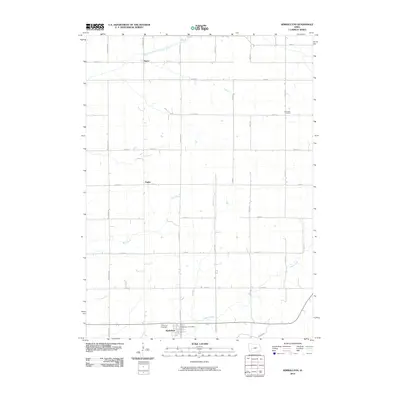 2010 Kimballton2010 Print · USGSThe rural agricultural landscapes of Audubon County are captured here in the early 21st century. Genealogists and local historians can trace family locations near the Kimballton Post Office, Ebenezer Cemetery, and the riverbanks of the East Branch West Nishnabotna River.
 - 2010 Map of Earling, 2010 Print
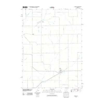 2010 Earling2010 Print · USGSEarling and the surrounding Shelby County farmland are documented here during the first decade of the millennium. Genealogists and local historians can trace family locations near Saint Joseph Cemetery, the Earling Post Office, or the grounds of Camp Manteno.
 - 2010 Map of Portsmouth, 2010 Print
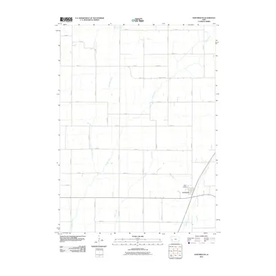 2010 Portsmouth2010 Print · USGSPortsmouth and the surrounding Shelby County farmland are documented here in the first decade of the new millennium. Researchers can trace the layout of the town near Saint Marys Cemetery and follow rural landmarks like Flusche Strasse and Mosquito Creek.
 - 2010 Map of Shelby, 2010 Print
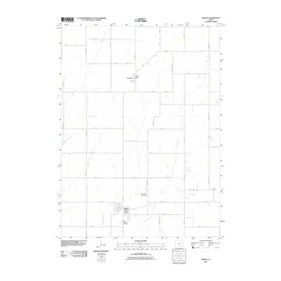 2010 Shelby2010 Print · USGSShelby and Tennant sit within a classic Iowa agricultural landscape during the early twenty-first century. Genealogists and local historians can locate the Shelby Township Cemetery, the Olson Cemetery, and the historic Old Stone Arch Bridge near the banks of Silver Creek.
 - 2013 Map of Defiance, 2013 Print
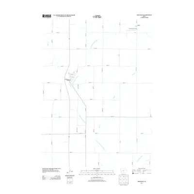 2013 Defiance2013 Print · USGSThe rural landscape of Shelby County, Iowa, is captured here in the early twenty-first century, centered on the community of Defiance. Researchers can trace local landmarks like the Nishnabotna River Bridge and the small settlement of Astor near the W Fork W Nishnabotna River.
 - 2013 Map of Portsmouth, 2013 Print
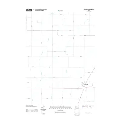 2013 Portsmouth2013 Print · USGSPortsmouth and the surrounding Shelby County farmland are shown here in the early twenty-first century as the traditional grid of rural sections persists. Researchers can trace the local drainage of Pigeon Cr and Mosquito Cr alongside family-named roads like Vienna Ave and Tucker Ave.
 - 2013 Map of Persia, 2013 Print
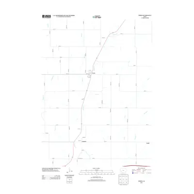 2013 Persia2013 Print · USGSHarrison County during the early twenty-first century reveals a landscape of enduring rural settlements and intricate creek systems. Trace the local geography of Persia, Yorkshire, and Magill alongside the banks of Mosquito Cr and Lytles Cr.
 - 2013 Map of Jacksonville, 2013 Print
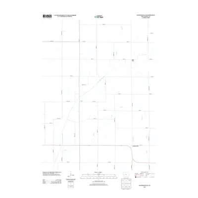 2013 Jacksonville2013 Print · USGSShelby County agriculture and river valley geography are documented here during the early twenty-first century. Researchers can trace rural property access and small settlements like Jacksonville, Red Line, and Botany along the E Br W Nishnabotna River.
 - 2013 Map of Earling, 2013 Print
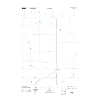 2013 Earling2013 Print · USGSEarling and the rural reaches of Shelby County are documented here in the early twenty-first century. Genealogists and local historians can trace family land ties near Camp Manteno, Poma, and the winding banks of Mosquito Cr.
 - 2013 Map of Shelby, 2013 Print
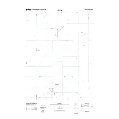 2013 Shelby2013 Print · USGSShelby and Tennant appear during the early 2010s amidst a landscape of agricultural section roads and meandering prairie creeks. Genealogists and historians can locate the Old Stone Arch Bridge and trace the paths of Silver Cr and Middle Silver Cr.
 - 2013 Map of Irwin, 2013 Print
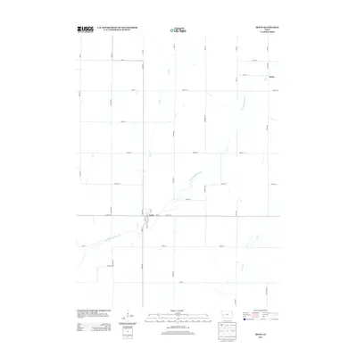 2013 Irwin2013 Print · USGSThe community of Irwin and the settlement of Botna are captured here in the early twenty-first century amidst the fertile fields of Shelby County. Genealogists and researchers can trace local connections along the W Nishnabotna River and Co Hwy-M47.
 - 2013 Map of Elk Horn, 2013 Print
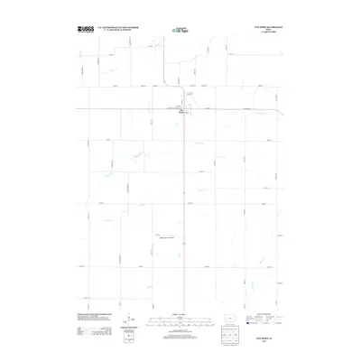 2013 Elk Horn2013 Print · USGSElk Horn and the surrounding Shelby County farmland are captured in the early twenty-first century, showcasing a highly developed agricultural landscape. Researchers can locate Wheatley Farms Airport and trace waterways like Indian Cr and Squaw Cr.
 - 2013 Map of Manning SE, 2013 Print
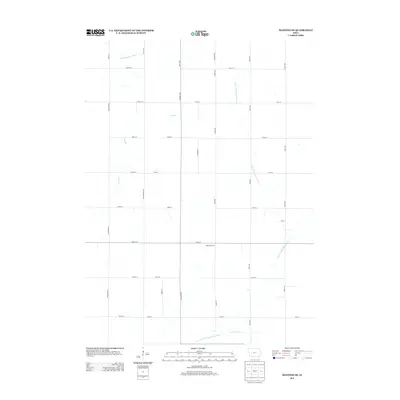 2013 Manning SE2013 Print · USGSCarroll County agriculture and river drainage are documented here in the early twenty-first century. Researchers can trace land divisions and local landmarks like the Paup Hog Farm along with the winding paths of the W Nishnabotna River and Lone Willow Cr.
 - 2013 Map of Corley, 2013 Print
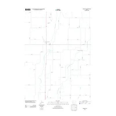 2013 Corley2013 Print · USGSCorley and the surrounding Iowa farmland are documented here just after the turn of the twenty-first century. Genealogists and local historians can trace family land via section roads like Mulberry Rd and find landmarks such as the Shelby County Farm.
Showing maps 1-25 of 60
Top cities of Shelby County
- Harlan historical maps
- Elk Horn historical maps
- Earling historical maps
- Irwin historical maps
- Defiance historical maps
- Panama historical maps
See more
Frequently asked questions
- What are the different types of historical maps available for Shelby County?
- What is the oldest map of Shelby County?
- Where can I purchase historical maps of Shelby County for my home or office?
- Where can I download high-res historical maps of Shelby County?
- Are there historical topographic maps available for Shelby County?
- Is there historical aerial imagery available for Shelby County?
- Where are historical maps of Shelby County sourced from?