2000s (21st Century) Maps of New Albany Township, Iowa
Explore 20 historic maps of New Albany Township from the 2000s (21st Century). These maps offer a rare glimpse into what life looked like during the 2000s — showing old roads, neighborhoods, homes, and landmarks that have changed or disappeared over time.
Whether you're researching your family's past, planning a metal detecting trip, or studying how New Albany Township's landscape evolved across the 2000s, these high-resolution maps are a powerful tool for exploring the history of this region.
- Focus on a specific era: All maps on this page are from the 2000s, giving you a focused view of this time period.
- See what’s changed: Compare century-old streets, trails, and buildings to today's modern landscape using overlays and satellite layers.
- Research with precision: Use these maps for genealogy, historical research, land use analysis, or educational projects.
- View, download, or print: Maps are fully viewable online in high resolution, and can be downloaded or printed for your own records.
Start exploring New Albany Township's history through authentic maps from the 2000s. This is your window into the past.
New Albany Township, IA maps
(20)- 2010 Map of Rhodes, 2010 Print
 2010 Rhodes2010 Print · USGSCovers New Albany Township, including Rhodes, State Center Township, and other nearby areas
 - 2010 Map of State Center, 2010 Print
 2010 State Center2010 Print · USGSCovers New Albany Township, including State Center, Clemons, and other nearby areas
 - 2010 Map of Colo, 2010 Print
 2010 Colo2010 Print · USGSCovers New Albany Township, including Colo, Richland Township, and other nearby areas
 - 2010 Map of Collins, 2010 Print
 2010 Collins2010 Print · USGSCovers New Albany Township, including Collins, Collins Township, and other nearby areas
 - 2013 Map of Collins, 2013 Print
 2013 Collins2013 Print · USGSCovers New Albany Township, including Collins, Collins Township, and other nearby areas
 - 2013 Map of Rhodes, 2013 Print
 2013 Rhodes2013 Print · USGSCovers New Albany Township, including Rhodes, State Center Township, and other nearby areas
 - 2013 Map of Colo, 2013 Print
 2013 Colo2013 Print · USGSCovers New Albany Township, including Colo, Richland Township, and other nearby areas
 - 2013 Map of State Center, 2013 Print
 2013 State Center2013 Print · USGSCovers New Albany Township, including State Center, Clemons, and other nearby areas
 - 2015 Map of State Center, 2015 Print
 2015 State Center2015 Print · USGSCovers New Albany Township, including State Center, Clemons, and other nearby areas
 - 2015 Map of Colo, 2015 Print
 2015 Colo2015 Print · USGSCovers New Albany Township, including Colo, Richland Township, and other nearby areas
 - 2015 Map of Rhodes, 2015 Print
 2015 Rhodes2015 Print · USGSCovers New Albany Township, including Rhodes, State Center Township, and other nearby areas
 - 2015 Map of Collins, 2015 Print
 2015 Collins2015 Print · USGSCovers New Albany Township, including Collins, Collins Township, and other nearby areas
 - 2018 Map of Rhodes, 2018 Print
 2018 Rhodes2018 Print · USGSCovers New Albany Township, including Rhodes, State Center Township, and other nearby areas
 - 2018 Map of Collins, 2018 Print
 2018 Collins2018 Print · USGSCovers New Albany Township, including Collins, Collins Township, and other nearby areas
 - 2018 Map of Colo, 2018 Print
 2018 Colo2018 Print · USGSCovers New Albany Township, including Colo, Richland Township, and other nearby areas
 - 2018 Map of State Center, 2018 Print
 2018 State Center2018 Print · USGSCovers New Albany Township, including State Center, Clemons, and other nearby areas
 - 2022 Map of Collins, 2022 Print
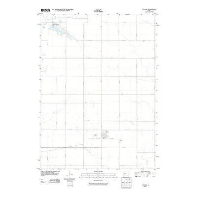
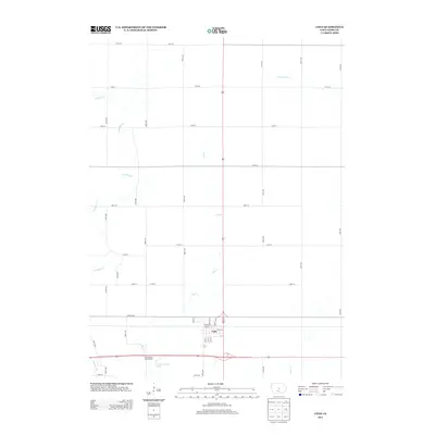
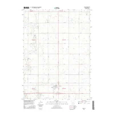
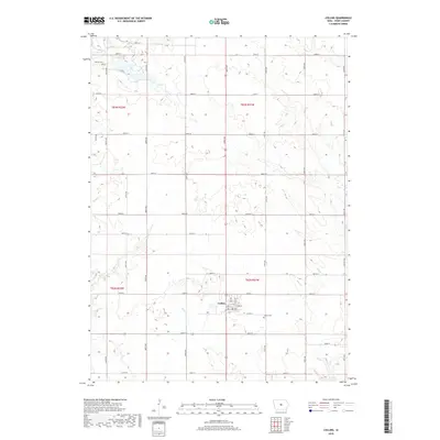
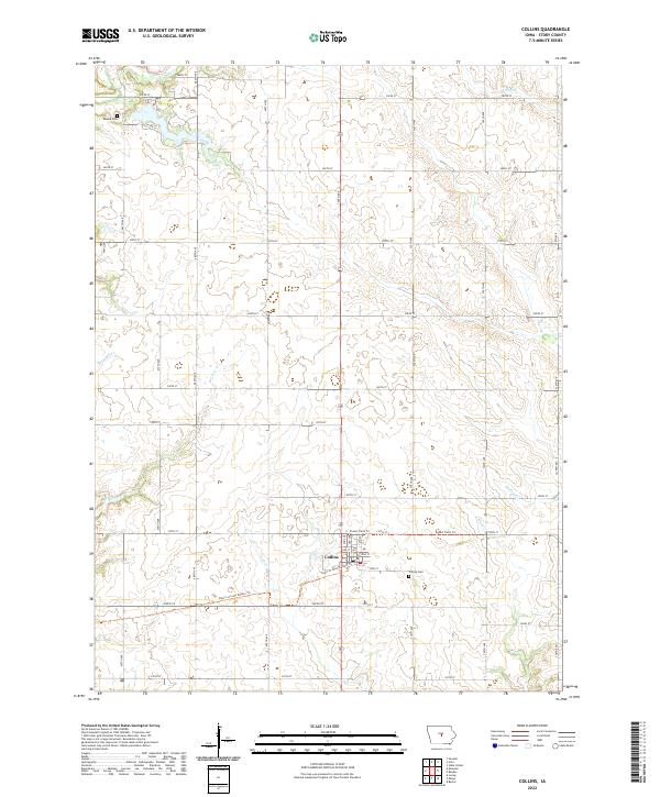 2022 Collins2022 Print · USGSCollins and the surrounding Story County farmland are shown here in the early twenty-first century as old rail lines find new life. Researchers can trace family history at Collins Cem or Mound Cem and follow the path of the Heart of Iowa Nature Trl.
 - 2022 Map of State Center, 2022 Print
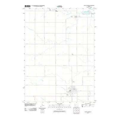
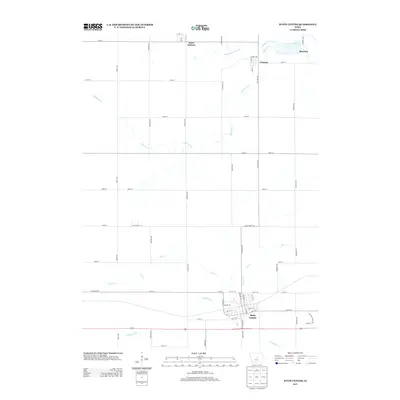
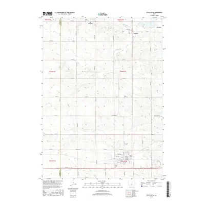
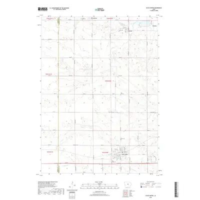
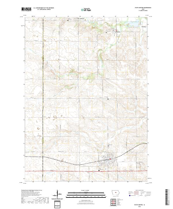 2022 State Center2022 Print · USGSCentral Iowa's agricultural heartland is mapped here in the modern era, showing the enduring grid of Marshall and Story counties. Genealogists can locate family plots at Sacred Hearts Cem or Hillside Cem and trace the paths of the N Skunk River and Linn Cr.
 - 2022 Map of Colo, 2022 Print
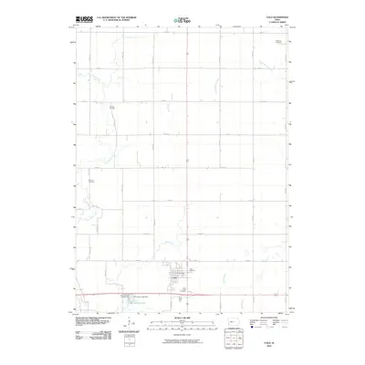
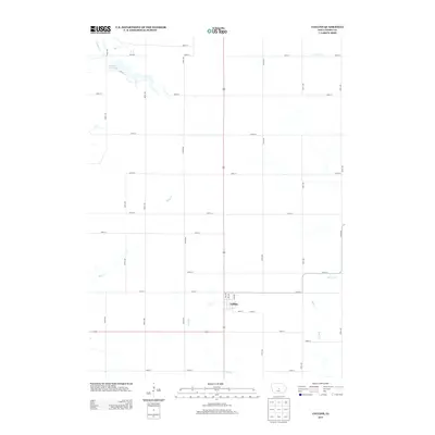
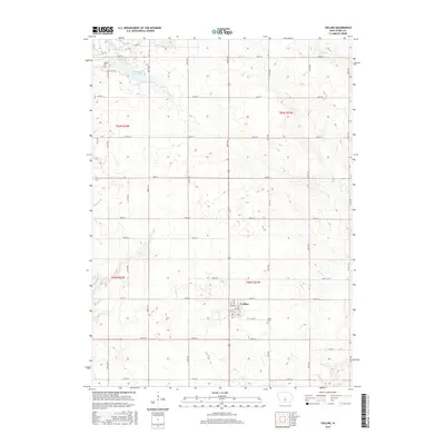
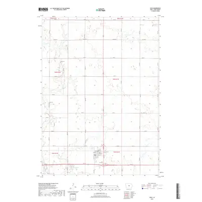
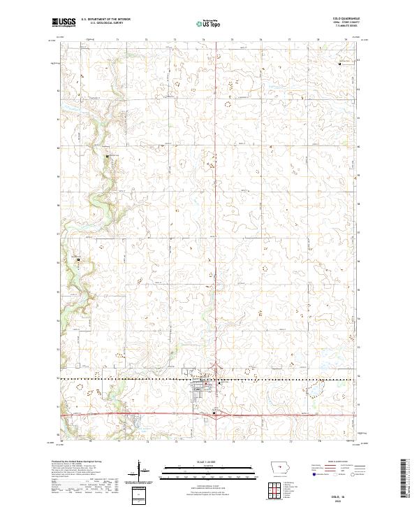 2022 Colo2022 Print · USGSStory County, Iowa, is captured here in the early 2020s, showcasing the agricultural grid surrounding the community of Colo. Researchers can locate several burial sites, including Oak Hill Cem and Murphy Cem, or trace the banks of Twin Anchors Lake.
 - 2022 Map of Rhodes, 2022 Print
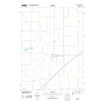
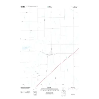
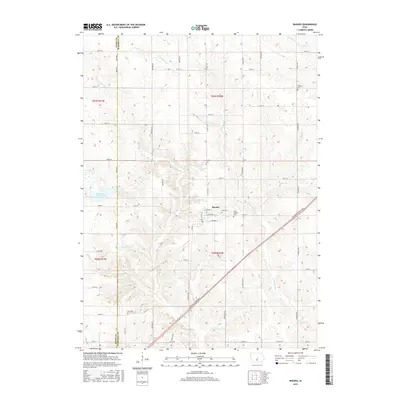
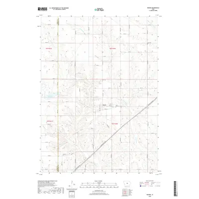
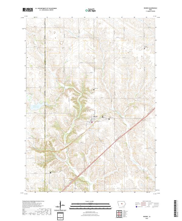 2022 Rhodes2022 Print · USGSRhodes and the surrounding Marshall County countryside are mapped here in the early twenty-first century, showing a landscape of river valleys and rural cemeteries. Trace local family history at Saint Josephs Cem or follow the Heart of Iowa Nature Trl along the N Skunk River.
End of results
Showing maps 1-20 of 20
Top cities near New Albany Township
- Nevada historical maps
- State Center historical maps
- Roland historical maps
- Baxter historical maps
- Elkhart historical maps
- Maxwell historical maps
See more
Top neighborhoods of New Albany Township
Frequently asked questions
- What are the different types of historical maps available for New Albany Township?
- What is the oldest map of New Albany Township?
- Where can I purchase historical maps of New Albany Township for my home or office?
- Where can I download high-res historical maps of New Albany Township?
- Are there historical topographic maps available for New Albany Township?
- Is there historical aerial imagery available for New Albany Township?
- Where are historical maps of New Albany Township sourced from?