Old Maps of New Albany Township, Iowa for Academic Research
Study the evolution of New Albany Township with 33 high-resolution historic maps. Whether you're teaching, researching, or modeling changes in land use, these maps provide essential visual documentation of urban, environmental, and geographic change.
- Analyze long-term change: Track patterns in development, transportation, and natural features.
- Ideal for environmental or urban studies: Support academic projects with primary historical map data.
- Use in the classroom or lab: Educators and researchers rely on these maps to bring historical context to life.
These maps are a powerful tool for teaching, research, and visualizing how New Albany Township has changed over the decades.
New Albany Township, IA maps
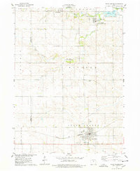
(33)- 1954 Map of Waterloo, 1968 Print
 1954 Waterloo1968 Print · USGSCentral Iowa at the height of its mid-century agricultural and rail boom features the growing hubs of Waterloo and Cedar Falls. Genealogists and researchers can trace the rail corridors of the Chicago Great Western and find local landmarks like Iowa State College and Brushy Ridge.4 unique versions available
 - 1954 Map of Des Moines, 1973 Print
 1954 Des Moines1973 Print · USGSCentral Iowa's evolving landscape is captured here in the early seventies, just as major reservoirs were reshaping the river valleys. Genealogists and historians can trace the rail corridors of the Burlington Northern or locate family roots near Pella, Indianola, and Knoxville.2 unique versions available
 - 1955 Map of Waterloo
 1955 Waterloo1955 Print · USGSCentral Iowa in the mid-fifties presents a dense landscape of rail-connected farming towns and growing river cities. Researchers can trace ancestral roots and old transport routes through Waterloo, Marshalltown, and Ames, while locating rural Cemeteries and local Quarries.2 unique versions available
 - 1956 Map of Des Moines
 1956 Des Moines1956 Print · USGSCentral Iowa in the mid-fifties shows a landscape defined by bustling rail hubs and deep-rooted agricultural research. Genealogists and researchers can trace the growth of Des Moines and Ames, locate the Sac and Fox Indian Reservation, or study the paths of the Skunk River and South Skunk River.
 - 1957 Map of Des Moines
 1957 Des Moines1957 Print · USGSCentral Iowa's post-war landscape is defined here by the converging rail lines and river valleys that shaped its earliest settlements. Genealogists and historians can trace the paths of the Rock Island Railroad and locate community landmarks in Des Moines, Ames, and Newton.
 - 1969 Map of Des Moines
 1969 Des Moines1969 Print · USGSCentral Iowa's fertile plains and growing capital are captured here during the late sixties, a time of major highway expansion and reservoir construction. Genealogists and researchers can trace rural township boundaries, local cemeteries, and rail lines serving towns like Pella, Grinnell, and Oskaloosa.
 - 1975 Map of State Center, 1978 Print
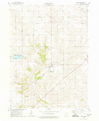
 1975 State Center1978 Print · USGSCentral Marshall County thrived in the mid-seventies as a hub of rail activity and rural settlement. Researchers can trace the Chicago and Northwestern line or locate family sites like Sacred Heart Cem and St Johns Ch.
 - 1975 Map of Rhodes, 1978 Print
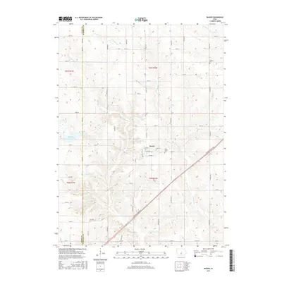
 1975 Rhodes1978 Print · USGSRhodes and the surrounding Marshall County farmland are captured in the mid-seventies, showing a landscape defined by rail and river. Genealogists can locate several rural burial grounds including Wilkey Cem, Day Cem, and St Josephs Cem alongside the Chicago Milwaukee St Paul and Pacific tracks.
 - 1975 Map of Collins, 1978 Print
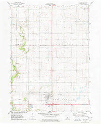
 1975 Collins1978 Print · USGSMid-Iowa's agricultural and rail corridor is preserved here during the mid-seventies, centered on the community of Collins. Researchers can trace the path of the Chicago Milwaukee St Paul and Pacific railroad and locate family history at Mound Cem or Collins Cem.
 - 1975 Map of Colo, 1978 Print
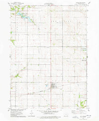
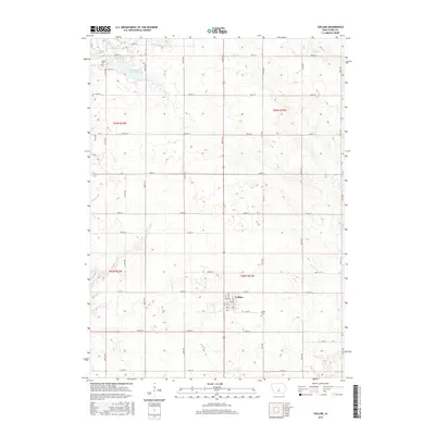
 1975 Colo1978 Print · USGSColo and its surrounding townships are captured here in the mid-1970s, showcasing the intersection of the prairie rail lines and rural community life. Researchers can locate family sites near Oak Hill Cem, Townhall, and the Chicago and North Western tracks.
 - 1984 Map of Des Moines, 1985 Print
 1984 Des Moines1985 Print · USGSCentral Iowa's heartland is captured in the mid-1980s as suburban growth met long-standing farm and rail infrastructure. Genealogists and researchers can trace the reaches of the Chicago and North Western through Maxwell or locate Laurel Hill Cem and Camp Dodge Military Reservation.2 unique versions available
 - 1985 Map of Ames
 1985 Ames1985 Print · USGSCentral Iowa's prairie landscape in the mid-eighties shows a well-established network of rail towns and conservation areas. Genealogists and historians can trace the paths of the Lincoln Highway and the Chicago and North Western line connecting Ames, Boone, and Webster City.
 - 1993 Map of Ames
 1993 Ames1993 Print · USGSCentral Iowa in the early nineties shows a landscape of river-fed parklands and growing academic centers. Genealogists and researchers can trace local church sites like Sts Peter and Paul Ch or navigate the corridors of the Chicago and North Western through towns like Hubbard and Stanhope.
 - 2010 Map of Rhodes, 2010 Print
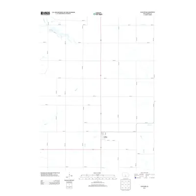
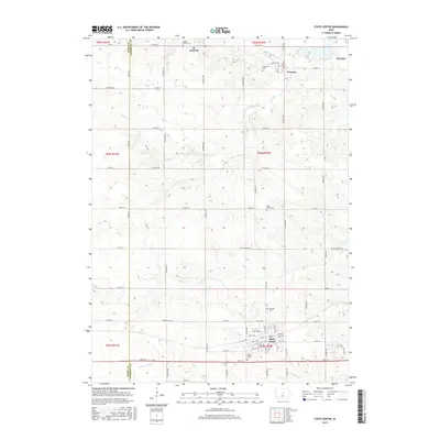
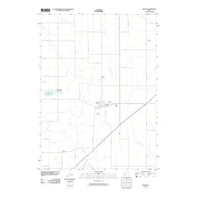 2010 Rhodes2010 Print · USGSCovers New Albany Township, including Rhodes, State Center Township, and other nearby areas
 - 2010 Map of State Center, 2010 Print
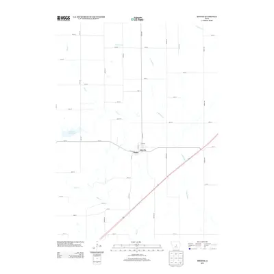
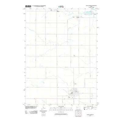 2010 State Center2010 Print · USGSCovers New Albany Township, including State Center, Clemons, and other nearby areas
 - 2010 Map of Colo, 2010 Print
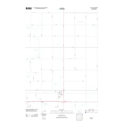
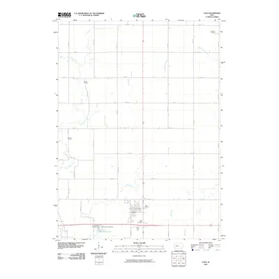 2010 Colo2010 Print · USGSCovers New Albany Township, including Colo, Richland Township, and other nearby areas
 - 2010 Map of Collins, 2010 Print
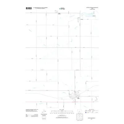
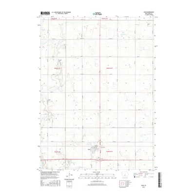
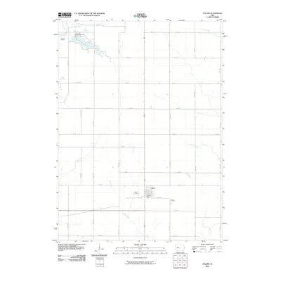 2010 Collins2010 Print · USGSCovers New Albany Township, including Collins, Collins Township, and other nearby areas
 - 2013 Map of Collins, 2013 Print
 2013 Collins2013 Print · USGSCovers New Albany Township, including Collins, Collins Township, and other nearby areas
 - 2013 Map of Rhodes, 2013 Print
 2013 Rhodes2013 Print · USGSCovers New Albany Township, including Rhodes, State Center Township, and other nearby areas
 - 2013 Map of Colo, 2013 Print
 2013 Colo2013 Print · USGSCovers New Albany Township, including Colo, Richland Township, and other nearby areas
 - 2013 Map of State Center, 2013 Print
 2013 State Center2013 Print · USGSCovers New Albany Township, including State Center, Clemons, and other nearby areas
 - 2015 Map of State Center, 2015 Print
 2015 State Center2015 Print · USGSCovers New Albany Township, including State Center, Clemons, and other nearby areas
 - 2015 Map of Colo, 2015 Print
 2015 Colo2015 Print · USGSCovers New Albany Township, including Colo, Richland Township, and other nearby areas
 - 2015 Map of Rhodes, 2015 Print
 2015 Rhodes2015 Print · USGSCovers New Albany Township, including Rhodes, State Center Township, and other nearby areas
 - 2015 Map of Collins, 2015 Print
 2015 Collins2015 Print · USGSCovers New Albany Township, including Collins, Collins Township, and other nearby areas
Showing maps 1-25 of 33
Top cities near New Albany Township
- Nevada historical maps
- State Center historical maps
- Roland historical maps
- Baxter historical maps
- Elkhart historical maps
- Maxwell historical maps
See more
Top neighborhoods of New Albany Township
Frequently asked questions
- What are the different types of historical maps available for New Albany Township?
- What is the oldest map of New Albany Township?
- Where can I purchase historical maps of New Albany Township for my home or office?
- Where can I download high-res historical maps of New Albany Township?
- Are there historical topographic maps available for New Albany Township?
- Is there historical aerial imagery available for New Albany Township?
- Where are historical maps of New Albany Township sourced from?