Old Maps of Slater, Palestine Township for Academic Research
Study the evolution of Slater with 19 high-resolution historic maps. Whether you're teaching, researching, or modeling changes in land use, these maps provide essential visual documentation of urban, environmental, and geographic change.
- Analyze long-term change: Track patterns in development, transportation, and natural features.
- Ideal for environmental or urban studies: Support academic projects with primary historical map data.
- Use in the classroom or lab: Educators and researchers rely on these maps to bring historical context to life.
These maps are a powerful tool for teaching, research, and visualizing how Slater has changed over the decades.
Slater, Palestine Township maps
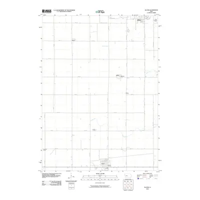
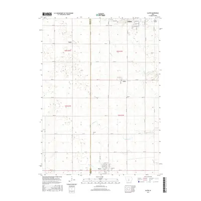
(19)- 1911 Map of Slater, 1960 Print
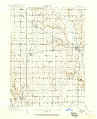 1911 Slater1960 Print · USGSCentral Iowa at the dawn of the twentieth century was a landscape of rail-driven prairie towns and a schoolhouse at nearly every mile. Genealogists can trace the rural roots of local families through specific sites like Nip-and-tuck School, Polk City Junction, and Huxley.
 - 1913 Map of Slater
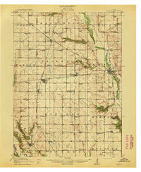 1913 Slater1913 Print · USGSCentral Iowa's farm country and rail corridors are captured here just before the First World War, showing a landscape tightly knit by steam and electric lines. Genealogists can locate dozens of neighborhood landmarks like Nip-and-tuck School, the Sydnes School, and the early plats of Slater and Huxley.2 unique versions available
 - 1954 Map of Des Moines, 1973 Print
 1954 Des Moines1973 Print · USGSCentral Iowa's evolving landscape is captured here in the early seventies, just as major reservoirs were reshaping the river valleys. Genealogists and historians can trace the rail corridors of the Burlington Northern or locate family roots near Pella, Indianola, and Knoxville.2 unique versions available
 - 1956 Map of Des Moines
 1956 Des Moines1956 Print · USGSCentral Iowa in the mid-fifties shows a landscape defined by bustling rail hubs and deep-rooted agricultural research. Genealogists and researchers can trace the growth of Des Moines and Ames, locate the Sac and Fox Indian Reservation, or study the paths of the Skunk River and South Skunk River.
 - 1957 Map of Des Moines
 1957 Des Moines1957 Print · USGSCentral Iowa's post-war landscape is defined here by the converging rail lines and river valleys that shaped its earliest settlements. Genealogists and historians can trace the paths of the Rock Island Railroad and locate community landmarks in Des Moines, Ames, and Newton.
 - 1969 Map of Des Moines
 1969 Des Moines1969 Print · USGSCentral Iowa's fertile plains and growing capital are captured here during the late sixties, a time of major highway expansion and reservoir construction. Genealogists and researchers can trace rural township boundaries, local cemeteries, and rail lines serving towns like Pella, Grinnell, and Oskaloosa.
 - 1972 Map of Polk City, 1975 Print
 1972 Polk City1975 Print · USGSCentral Iowa was undergoing a massive landscape shift in the early seventies as the Saylorville project took shape. Researchers can trace the original rail path of the Chicago and North Western and locate quiet rural landmarks like Sheldahl Cem and Crocker.2 unique versions available
 - 1975 Map of Slater, 1978 Print
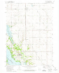
 1975 Slater1978 Print · USGSStory County agricultural and rail networks are preserved here in the mid-seventies, showing the intersection of heavy rail lines and academic research. Genealogists and local historians can trace family roots through Bethany Cem or locate old rail spurs like the Chicago Milwaukee St Paul and Pacific near Slater and Kelley.
 - 1984 Map of Des Moines, 1985 Print
 1984 Des Moines1985 Print · USGSCentral Iowa's heartland is captured in the mid-1980s as suburban growth met long-standing farm and rail infrastructure. Genealogists and researchers can trace the reaches of the Chicago and North Western through Maxwell or locate Laurel Hill Cem and Camp Dodge Military Reservation.2 unique versions available
 - 2010 Map of Slater, 2010 Print
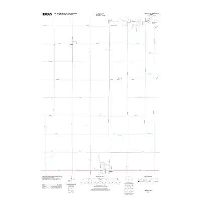
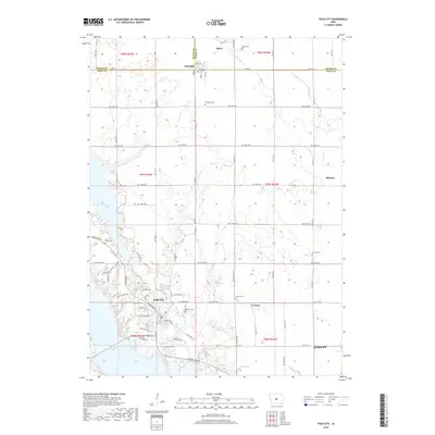
 2010 Slater2010 Print · USGSCovers Slater, including Ames, Kelley, and other nearby areas
 - 2010 Map of Polk City, 2010 Print
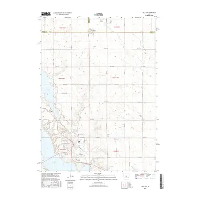
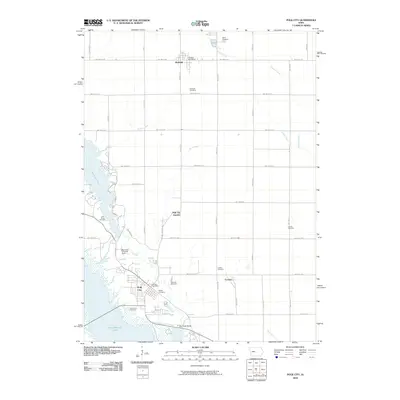 2010 Polk City2010 Print · USGSCovers Slater, including Ankeny, Polk City, and other nearby areas
 - 2013 Map of Slater, 2013 Print
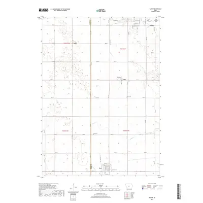
 2013 Slater2013 Print · USGSCovers Slater, including Ames, Kelley, and other nearby areas
 - 2013 Map of Polk City, 2013 Print
 2013 Polk City2013 Print · USGSCovers Slater, including Ankeny, Polk City, and other nearby areas
 - 2015 Map of Slater, 2015 Print
 2015 Slater2015 Print · USGSCovers Slater, including Ames, Kelley, and other nearby areas
 - 2015 Map of Polk City, 2015 Print
 2015 Polk City2015 Print · USGSCovers Slater, including Ankeny, Polk City, and other nearby areas
 - 2018 Map of Polk City, 2018 Print
 2018 Polk City2018 Print · USGSCovers Slater, including Ankeny, Polk City, and other nearby areas
 - 2018 Map of Slater, 2018 Print
 2018 Slater2018 Print · USGSCovers Slater, including Ames, Kelley, and other nearby areas
 - 2022 Map of Slater, 2022 Print
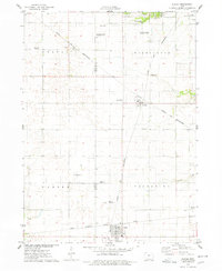
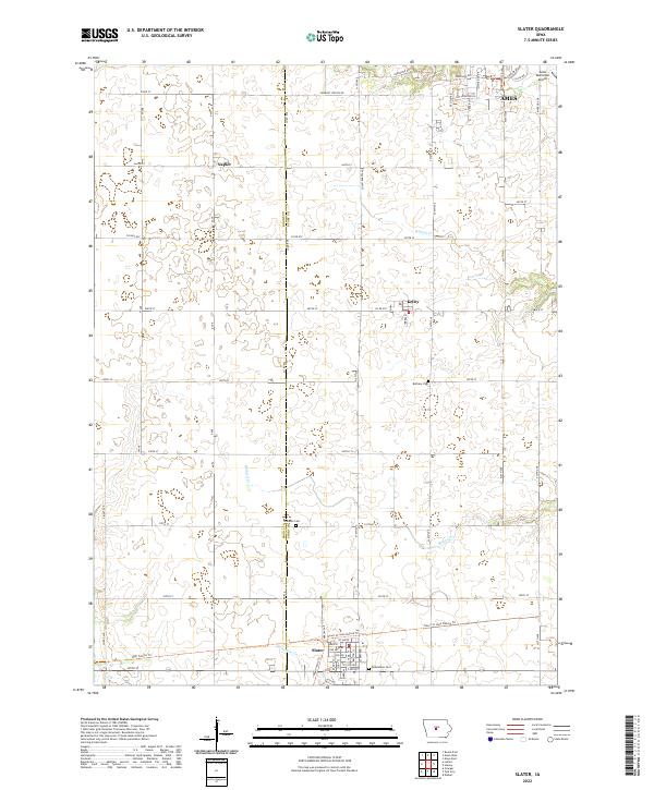 2022 Slater2022 Print · USGSThe rural landscapes of Story and Boone Counties are captured here in the early twenty-first century as the city of Ames expands southward. Local historians can trace cemetery locations like Bethany Cemetery and follow the paths of Ballard Creek through Kelley and Slater.
 - 2022 Map of Polk City, 2022 Print
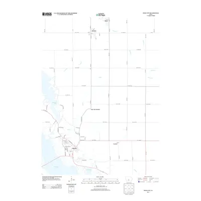
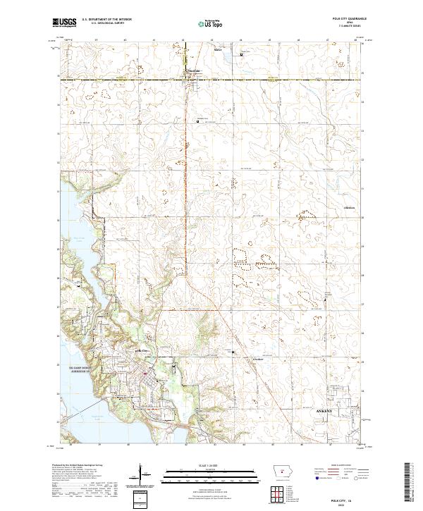 2022 Polk City2022 Print · USGSThe tri-county borderlands of central Iowa are captured here in the early 2020s, showing the intersection of outdoor recreation and growing commuter communities. Researchers can trace historic family burial sites like Lem Small Cemetery and Beebe Cem or follow the modern paths of the High Trestle Trl and Neal Smith Trl.
End of results
Showing maps 1-19 of 19
Top cities near Slater
- Des Moines historical maps
- Ankeny historical maps
- Ames historical maps
- Urbandale historical maps
- Johnston historical maps
- Altoona historical maps
See more
Frequently asked questions
- What are the different types of historical maps available for Slater?
- What is the oldest map of Slater?
- Where can I purchase historical maps of Slater for my home or office?
- Where can I download high-res historical maps of Slater?
- Are there historical topographic maps available for Slater?
- Is there historical aerial imagery available for Slater?
- Where are historical maps of Slater sourced from?