Old Maps of Montour, Iowa for Academic Research
Study the evolution of Montour with 11 high-resolution historic maps. Whether you're teaching, researching, or modeling changes in land use, these maps provide essential visual documentation of urban, environmental, and geographic change.
- Analyze long-term change: Track patterns in development, transportation, and natural features.
- Ideal for environmental or urban studies: Support academic projects with primary historical map data.
- Use in the classroom or lab: Educators and researchers rely on these maps to bring historical context to life.
These maps are a powerful tool for teaching, research, and visualizing how Montour has changed over the decades.
Montour, IA maps
(11)- 1954 Map of Des Moines, 1973 Print
 1954 Des Moines1973 Print · USGSCentral Iowa's evolving landscape is captured here in the early seventies, just as major reservoirs were reshaping the river valleys. Genealogists and historians can trace the rail corridors of the Burlington Northern or locate family roots near Pella, Indianola, and Knoxville.2 unique versions available
 - 1956 Map of Des Moines
 1956 Des Moines1956 Print · USGSCentral Iowa in the mid-fifties shows a landscape defined by bustling rail hubs and deep-rooted agricultural research. Genealogists and researchers can trace the growth of Des Moines and Ames, locate the Sac and Fox Indian Reservation, or study the paths of the Skunk River and South Skunk River.
 - 1957 Map of Des Moines
 1957 Des Moines1957 Print · USGSCentral Iowa's post-war landscape is defined here by the converging rail lines and river valleys that shaped its earliest settlements. Genealogists and historians can trace the paths of the Rock Island Railroad and locate community landmarks in Des Moines, Ames, and Newton.
 - 1969 Map of Des Moines
 1969 Des Moines1969 Print · USGSCentral Iowa's fertile plains and growing capital are captured here during the late sixties, a time of major highway expansion and reservoir construction. Genealogists and researchers can trace rural township boundaries, local cemeteries, and rail lines serving towns like Pella, Grinnell, and Oskaloosa.
 - 1980 Map of Montour
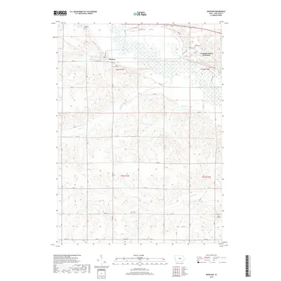
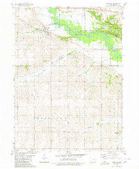 1980 Montour1980 Print · USGSThe Mesquakie tribal lands and the Iowa River valley are documented here in the mid-seventies, showing the intersection of rail lines and rural townships. Genealogists can locate family landmarks like Maple Hill Cem and the Sac & Fox Day Sch near Montour.
 - 1984 Map of Grinnell, 1985 Print
 1984 Grinnell1985 Print · USGSCentral Iowa's prairie towns and rail corridors are captured in the mid-1980s, showcasing the agricultural grid and protected marshlands. Researchers can trace historic routes along the Chicago and North Western or locate family roots near the Sac and Fox Indian Reservation and Lake Ponderosa.2 unique versions available
 - 2010 Map of Montour, 2010 Print
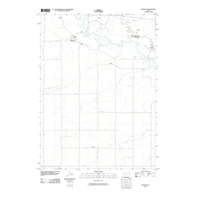 2010 Montour2010 Print · USGSCovers Montour, including Tama County, United States, and other nearby areas
 - 2013 Map of Montour, 2013 Print
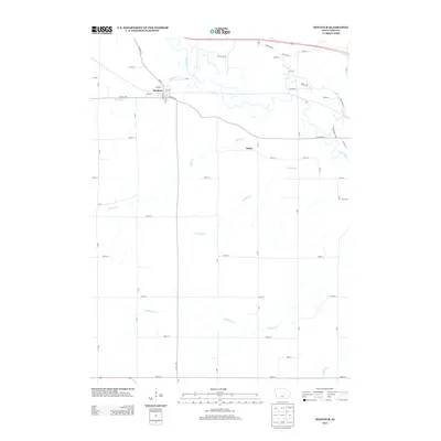 2013 Montour2013 Print · USGSCovers Montour, including Tama County, United States, and other nearby areas
 - 2015 Map of Montour, 2015 Print
 2015 Montour2015 Print · USGSCovers Montour, including Tama County, United States, and other nearby areas
 - 2018 Map of Montour, 2018 Print
 2018 Montour2018 Print · USGSCovers Montour, including Tama County, United States, and other nearby areas
 - 2022 Map of Montour, 2022 Print
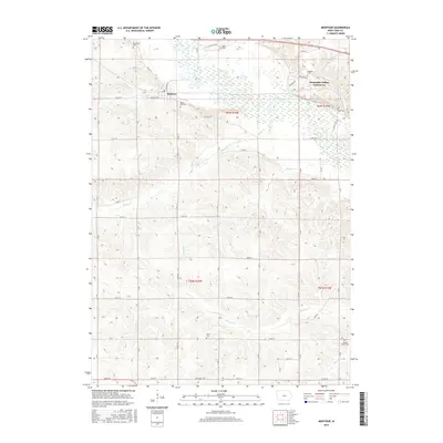
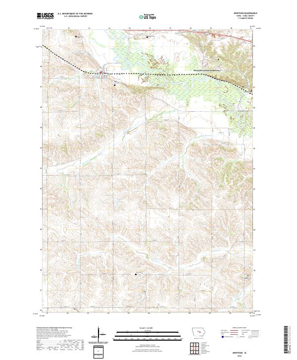 2022 Montour2022 Print · USGSTama County's rural landscape is centered here around the Iowa River valley and the town of Montour in the early 2020s. Researchers can trace ancestral locations through numerous family and community burial sites like Maple Hill Cem and Korns Cem.
End of results
Showing maps 1-11 of 11
Top cities near Montour
- Marshalltown historical maps
- Grinnell historical maps
- Tama historical maps
- Toledo historical maps
- Le Grand historical maps
- Gladbrook historical maps
See more
Frequently asked questions
- What are the different types of historical maps available for Montour?
- What is the oldest map of Montour?
- Where can I purchase historical maps of Montour for my home or office?
- Where can I download high-res historical maps of Montour?
- Are there historical topographic maps available for Montour?
- Is there historical aerial imagery available for Montour?
- Where are historical maps of Montour sourced from?