Old Maps of Mount Zion, Iowa for Academic Research
Study the evolution of Mount Zion with 11 high-resolution historic maps. Whether you're teaching, researching, or modeling changes in land use, these maps provide essential visual documentation of urban, environmental, and geographic change.
- Analyze long-term change: Track patterns in development, transportation, and natural features.
- Ideal for environmental or urban studies: Support academic projects with primary historical map data.
- Use in the classroom or lab: Educators and researchers rely on these maps to bring historical context to life.
These maps are a powerful tool for teaching, research, and visualizing how Mount Zion has changed over the decades.
Mount Zion, IA maps
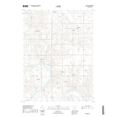
(11)- 1958 Map of Burlington, 1968 Print
 1958 Burlington1968 Print · USGSThe tri-state river country of Iowa, Illinois, and Missouri is captured here in the mid-fifties, dominated by the Mississippi River and major rail lines. Genealogists and historians can trace the development of river towns like Keokuk or locate the sprawling Iowa Army Ammunition Plant.4 unique versions available
 - 1961 Map of Burlington
 1961 Burlington1961 Print · USGSThe tri-state borderlands along the Mississippi River are captured here during the late fifties and early sixties, showing the vital river-and-rail economy of Iowa, Illinois, and Missouri. Genealogists and historians can trace the development of major hubs like Galesburg and Macomb alongside landmark sites such as the Iowa Ordnance Plant and the historic river town of Nauvoo.
 - 1963 Map of Burlington
 1963 Burlington1963 Print · USGSThe tri-state river country of the Mississippi and Illinois valleys comes alive in this mid-century survey. Genealogists and historians can trace the industrial and academic growth of the region, from the Iowa Ordnance Plant to campuses like Knox College and Western Illinois University.
 - 1981 Map of Mount Zion
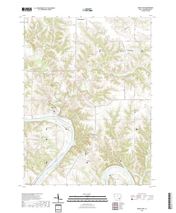
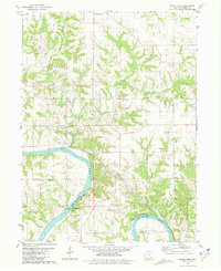 1981 Mount Zion1981 Print · USGSVan Buren County's river-cut landscape is captured here in the early eighties as the Chicago Rock Island and Pacific railroad still traced the Des Moines River. Genealogists can locate several family-named landmarks including Forbes Cem, Leech Cem, and the community at Winchester.
 - 1985 Map of Burlington
 1985 Burlington1985 Print · USGSThe Tri-State region during the mid-eighties shows a landscape shaped by the Mississippi River and a dense network of railroads. Genealogists and local historians can trace family sites near Aspen Grove Cem or locate community landmarks in Burlington, Fort Madison, and Mount Pleasant.2 unique versions available
 - 1990 Map of Burlington
 1990 Burlington1990 Print · USGSThe tri-state confluence of Iowa, Illinois, and Missouri is mapped here at the end of the twentieth century. Genealogists and historians can trace the riverfront heritage of Burlington, Keokuk, and Fort Madison, or locate sites like the Battle of Athens State Historic Site.2 unique versions available
 - 2010 Map of Mount Zion, 2010 Print
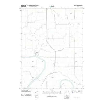 2010 Mount Zion2010 Print · USGSCovers Mount Zion, including Birmingham, Kilbourn, and other nearby areas
 - 2013 Map of Mount Zion, 2013 Print
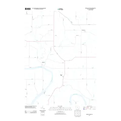 2013 Mount Zion2013 Print · USGSCovers Mount Zion, including Birmingham, Kilbourn, and other nearby areas
 - 2015 Map of Mount Zion, 2015 Print
 2015 Mount Zion2015 Print · USGSCovers Mount Zion, including Birmingham, Kilbourn, and other nearby areas
 - 2018 Map of Mount Zion, 2018 Print
 2018 Mount Zion2018 Print · USGSCovers Mount Zion, including Birmingham, Kilbourn, and other nearby areas
 - 2022 Map of Mount Zion, 2022 Print
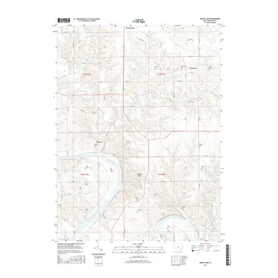
 2022 Mount Zion2022 Print · USGSSettled along the northern banks of the Des Moines River, this corner of Van Buren County retains its deep agricultural and cemetery history. Genealogists can trace family names at the Railroad Grave, Miller Chapel Cem, and Kilbourn Cem.
End of results
Showing maps 1-11 of 11
Top cities near Mount Zion
- Fairfield historical maps
- Keosauqua historical maps
- Farmington historical maps
- Milton historical maps
- Birmingham historical maps
- Bonaparte historical maps
See more
Frequently asked questions
- What are the different types of historical maps available for Mount Zion?
- What is the oldest map of Mount Zion?
- Where can I purchase historical maps of Mount Zion for my home or office?
- Where can I download high-res historical maps of Mount Zion?
- Are there historical topographic maps available for Mount Zion?
- Is there historical aerial imagery available for Mount Zion?
- Where are historical maps of Mount Zion sourced from?