Old Maps of Ottumwa, Iowa for Academic Research
Study the evolution of Ottumwa with 29 high-resolution historic maps. Whether you're teaching, researching, or modeling changes in land use, these maps provide essential visual documentation of urban, environmental, and geographic change.
- Analyze long-term change: Track patterns in development, transportation, and natural features.
- Ideal for environmental or urban studies: Support academic projects with primary historical map data.
- Use in the classroom or lab: Educators and researchers rely on these maps to bring historical context to life.
These maps are a powerful tool for teaching, research, and visualizing how Ottumwa has changed over the decades.
Ottumwa, IA maps
(29)- 1954 Map of Centerville, 1967 Print
 1954 Centerville1967 Print · USGSThe Iowa-Missouri borderlands at mid-century reveal a landscape shaped by river valleys and the height of the regional rail network. Genealogists and historians can trace the paths of the Wabash railroad and locate old townsites like Mystic, Moulton, and Greentop.3 unique versions available
 - 1954 Map of Des Moines, 1973 Print
 1954 Des Moines1973 Print · USGSCentral Iowa's evolving landscape is captured here in the early seventies, just as major reservoirs were reshaping the river valleys. Genealogists and historians can trace the rail corridors of the Burlington Northern or locate family roots near Pella, Indianola, and Knoxville.2 unique versions available
 - 1956 Map of Des Moines
 1956 Des Moines1956 Print · USGSCentral Iowa in the mid-fifties shows a landscape defined by bustling rail hubs and deep-rooted agricultural research. Genealogists and researchers can trace the growth of Des Moines and Ames, locate the Sac and Fox Indian Reservation, or study the paths of the Skunk River and South Skunk River.
 - 1956 Map of Farson, 1958 Print
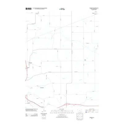
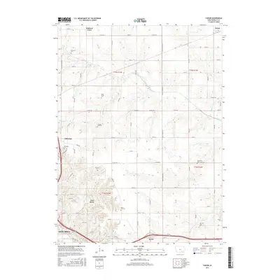
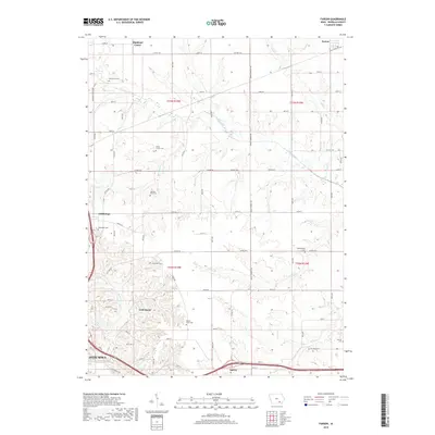
 1956 Farson1958 Print · USGSWapello County farming townships are captured here in the mid-fifties during a wave of rural school consolidation. Genealogists can locate family sites near Highland Center, the McCormick Cem, and several sites marked as Nasby Sch (Abandoned).2 unique versions available
 - 1956 Map of Ottumwa North, 1958 Print
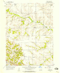
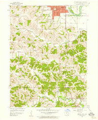
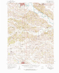
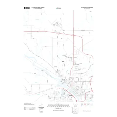
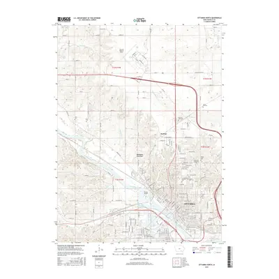
 1956 Ottumwa North1958 Print · USGSMid-century Ottumwa and its surrounding townships show a bustling river-and-rail economy as the region expanded in the fifties. Genealogists can trace family sites at Memorial Lawn Cemetery and locate vanished rural landmarks like Shiloh Church.
 - 1956 Map of Ottumwa South, 1958 Print
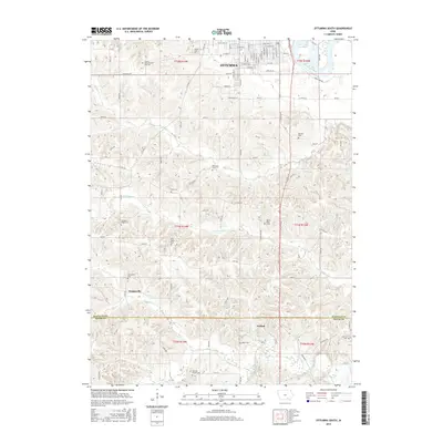
 1956 Ottumwa South1958 Print · USGSSouthern Iowa rural life and the outskirts of Ottumwa are captured in the mid-fifties, before modern development reshaped the county lines. Genealogists can trace family footprints at Shaul Cem or Ormanville, and locate numerous vanished rural schoolhouses like Ogg Sch and Union Sch.2 unique versions available
 - 1956 Map of Ottumwa South, 1958 Print
 1956 Ottumwa South1958 Print · USGSSouthern Iowa in the mid-fifties reveals a landscape of transition where rural schoolhouses and busy rail lines connected small farming communities. Researchers can trace family history at sites like Mars Hill Ch, Lester Cem, and the old rail stop at Drakesville (Station).2 unique versions available
 - 1956 Map of Ottumwa North, 1958 Print
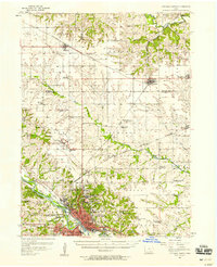
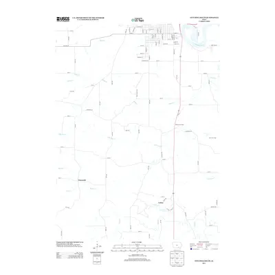
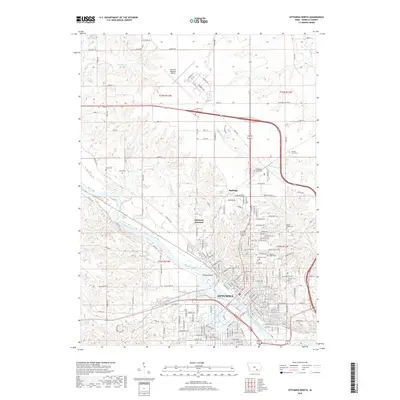
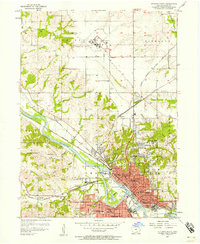 1956 Ottumwa North1958 Print · USGSThe Des Moines River valley in the mid-fifties reveals a bustling Iowa hub at the height of its rail-and-river era. Researchers can trace family history through numerous landmarks like Ottumwa Cemetery, Reveal Sch, and Ottumwa Heights College.2 unique versions available
 - 1957 Map of Des Moines
 1957 Des Moines1957 Print · USGSCentral Iowa's post-war landscape is defined here by the converging rail lines and river valleys that shaped its earliest settlements. Genealogists and historians can trace the paths of the Rock Island Railroad and locate community landmarks in Des Moines, Ames, and Newton.
 - 1957 Map of Centerville
 1957 Centerville1957 Print · USGSThe Iowa-Missouri borderlands in the mid-fifties reveal a landscape of river-valley agriculture and vital rail corridors. Genealogists and historians can trace family-named landmarks and small-town growth in Centerville, Kirksville, and along the Wabash railroad line.
 - 1958 Map of Centerville
 1958 Centerville1958 Print · USGSThe Iowa-Missouri borderlands come into focus during the mid-fifties, showing a landscape defined by river valleys and intersecting rail lines. Genealogists and local historians can trace family roots through dozens of rural hubs like Bloomfield, Unionville, and Corydon.
 - 1969 Map of Des Moines
 1969 Des Moines1969 Print · USGSCentral Iowa's fertile plains and growing capital are captured here during the late sixties, a time of major highway expansion and reservoir construction. Genealogists and researchers can trace rural township boundaries, local cemeteries, and rail lines serving towns like Pella, Grinnell, and Oskaloosa.
 - 1981 Map of Centerville, 1982 Print
 1981 Centerville1982 Print · USGSThe borderlands of southern Iowa and northern Missouri are captured here in the early eighties as Rathbun Lake and the Chariton River define the local geography. Researchers can trace historic rail lines like the Norfolk and Western and locate vanished hamlets such as Coal City and Glenwood Junction.
 - 1982 Map of Oskaloosa
 1982 Oskaloosa1982 Print · USGSSoutheast Iowa's river valleys and rail hubs are meticulously detailed in the early eighties, showing a landscape of productive farmland and growing municipal centers. Researchers can trace the legacy of small-town life and local industry through features like Union Mills, What Cheer, and the extensive Burlington Northern rail network.
 - 2010 Map of Ottumwa South, 2010 Print
 2010 Ottumwa South2010 Print · USGSCovers Ottumwa, including Carbon, Ormanville, and other nearby areas
 - 2010 Map of Farson, 2010 Print
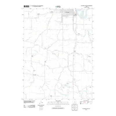
 2010 Farson2010 Print · USGSCovers Ottumwa, including Agency, Dahlonega, and other nearby areas
 - 2010 Map of Ottumwa North, 2010 Print
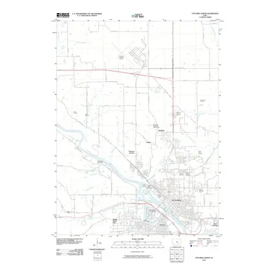 2010 Ottumwa North2010 Print · USGSCovers Ottumwa, including Rutledge, East Ottumwa, and other nearby areas
 - 2013 Map of Ottumwa North, 2013 Print
 2013 Ottumwa North2013 Print · USGSCovers Ottumwa, including Rutledge, East Ottumwa, and other nearby areas
 - 2013 Map of Farson, 2013 Print
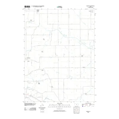
 2013 Farson2013 Print · USGSCovers Ottumwa, including Agency, Dahlonega, and other nearby areas
 - 2013 Map of Ottumwa South, 2013 Print
 2013 Ottumwa South2013 Print · USGSCovers Ottumwa, including Carbon, Ormanville, and other nearby areas
 - 2015 Map of Ottumwa South, 2015 Print
 2015 Ottumwa South2015 Print · USGSCovers Ottumwa, including Carbon, Ormanville, and other nearby areas
 - 2015 Map of Farson, 2015 Print
 2015 Farson2015 Print · USGSCovers Ottumwa, including Agency, Dahlonega, and other nearby areas
 - 2015 Map of Ottumwa North, 2015 Print
 2015 Ottumwa North2015 Print · USGSCovers Ottumwa, including Rutledge, East Ottumwa, and other nearby areas
 - 2018 Map of Ottumwa North, 2018 Print
 2018 Ottumwa North2018 Print · USGSCovers Ottumwa, including Rutledge, East Ottumwa, and other nearby areas
 - 2018 Map of Farson, 2018 Print
 2018 Farson2018 Print · USGSCovers Ottumwa, including Agency, Dahlonega, and other nearby areas
Showing maps 1-25 of 29
Top cities near Ottumwa
- Eddyville historical maps
- Eldon historical maps
- Hedrick historical maps
- Fremont historical maps
- Agency historical maps
- Blakesburg historical maps
See more
Top neighborhoods of Ottumwa
Frequently asked questions
- What are the different types of historical maps available for Ottumwa?
- What is the oldest map of Ottumwa?
- Where can I purchase historical maps of Ottumwa for my home or office?
- Where can I download high-res historical maps of Ottumwa?
- Are there historical topographic maps available for Ottumwa?
- Is there historical aerial imagery available for Ottumwa?
- Where are historical maps of Ottumwa sourced from?