2000s (21st Century) Maps of Ottumwa, Iowa
Explore 15 historic maps of Ottumwa from the 2000s (21st Century). These maps offer a rare glimpse into what life looked like during the 2000s — showing old roads, neighborhoods, homes, and landmarks that have changed or disappeared over time.
Whether you're researching your family's past, planning a metal detecting trip, or studying how Ottumwa's landscape evolved across the 2000s, these high-resolution maps are a powerful tool for exploring the history of this region.
- Focus on a specific era: All maps on this page are from the 2000s, giving you a focused view of this time period.
- See what’s changed: Compare century-old streets, trails, and buildings to today's modern landscape using overlays and satellite layers.
- Research with precision: Use these maps for genealogy, historical research, land use analysis, or educational projects.
- View, download, or print: Maps are fully viewable online in high resolution, and can be downloaded or printed for your own records.
Start exploring Ottumwa's history through authentic maps from the 2000s. This is your window into the past.
Ottumwa, IA maps
(15)- 2010 Map of Ottumwa South, 2010 Print
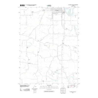 2010 Ottumwa South2010 Print · USGSOttumwa and its southern environs appear here at the start of the decade, where the Des Moines River bends through the Iowa heartland. Genealogists can locate numerous small burial sites like the Point Isabel Cemetery, Zion Cemetery, and the Ormanville Cemetery.
 - 2010 Map of Farson, 2010 Print
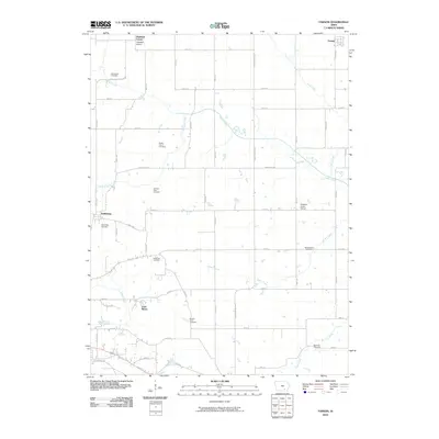 2010 Farson2010 Print · USGSWapello County's rural townships are documented in the early twenty-first century, featuring a landscape of section-line roads and creek bottoms. Genealogists can trace numerous family burial sites such as Nasby Corner Cemetery and Garrison Rock Cemetery, alongside the Pleasant Grove School.
 - 2010 Map of Ottumwa North, 2010 Print
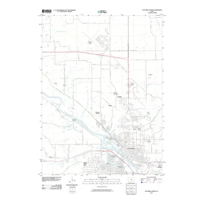 2010 Ottumwa North2010 Print · USGSOttumwa at the start of the 2010s shows a mature river-and-rail city where neighborhoods like Pickwick and East Ottumwa meet the bends of the Des Moines River. Researchers can trace local heritage through several distinct burial sites, including the Hebrew Jewish Cemetery and County Farm Cemetery.
 - 2013 Map of Ottumwa North, 2013 Print
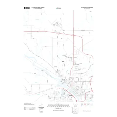 2013 Ottumwa North2013 Print · USGSOttumwa and its northern hinterlands are captured here in the early twenty-first century, showing the intersection of the Des Moines River and key rail corridors. Researchers can trace the layout of historic areas like Pickwick, Rutledge, and the waterfront at Port Richmond.
 - 2013 Map of Farson, 2013 Print
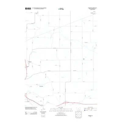 2013 Farson2013 Print · USGSWapello County in the early twenty-first century remains a landscape of deep-rooted agriculture and small rural centers. Genealogists and local historians can trace the schoolhouse sites of Highland School and Pleasant Grove School or the quiet streets of Farson and Dahlonega.
 - 2013 Map of Ottumwa South, 2013 Print
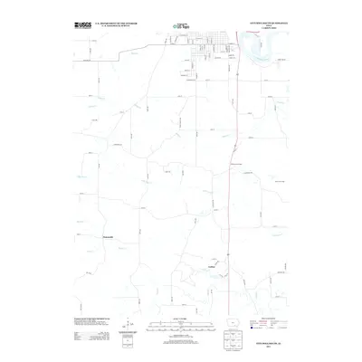 2013 Ottumwa South2013 Print · USGSSouthern Wapello County appears here in the early twenty-first century, showing the transition from river valley to rural prairie. Genealogists and local historians can trace the areas around Ormanville and Carbon, or locate the Hickory Grove Camp and Forest Lake Camp near the Des Moines River.
 - 2015 Map of Ottumwa South, 2015 Print
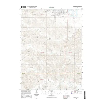 2015 Ottumwa South2015 Print · USGSSouthern Iowa rural life and township layouts are documented here in the mid-2010s, covering the area just south of the city. Genealogists can locate several family burial sites like Dexter Baby Grave and settlements such as Ormanville and Carbon.
 - 2015 Map of Farson, 2015 Print
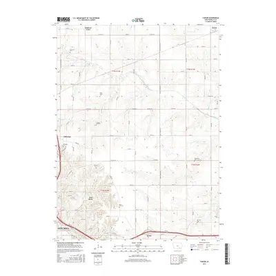 2015 Farson2015 Print · USGSWapello County townships and the northern reaches of Ottumwa are captured in this mid-2010s survey of southeastern Iowa. Researchers can trace numerous local burial sites and rural settlements, including Dahlonega Cemetery, Highland Center, and Bladensburg Cemetery.
 - 2015 Map of Ottumwa North, 2015 Print
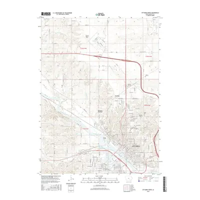 2015 Ottumwa North2015 Print · USGSOttumwa and the surrounding river valley are captured here during a period of sustained regional importance in Wapello County. Researchers can trace family history through several burial grounds like Memorial Lawn Cem and Harris Cem or locate the historic Ottumwa Junction near the river.
 - 2018 Map of Ottumwa North, 2018 Print
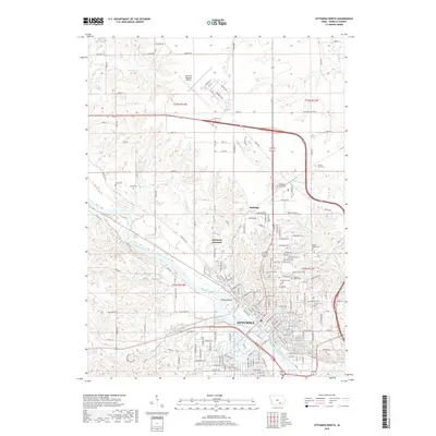 2018 Ottumwa North2018 Print · USGSThe northern reaches of Ottumwa are captured here just before the end of the twenty-tens, centered on the river and its industrial rail corridors. Genealogists can locate numerous local burial sites including Ottumwa Cem, Mount Olivet Cem, and the Hebrew Jewish Cem.
 - 2018 Map of Farson, 2018 Print
 2018 Farson2018 Print · USGSSoutheast Iowa farming townships and the northern outskirts of Ottumwa are captured here in the late 2010s. Researchers can trace numerous rural burial sites including Garrison Rock Cem, Nasby Corner Cem, and the settlement of Dahlonega.
 - 2018 Map of Ottumwa South, 2018 Print
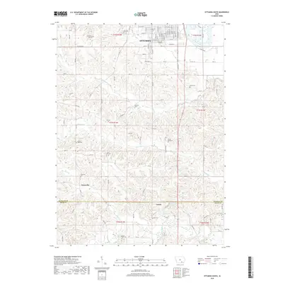 2018 Ottumwa South2018 Print · USGSSouthern Wapello County and northern Davis County are shown here in the late 2010s as the urban edge of Ottumwa meets a landscape of rural cemeteries and winding creek bottoms. Genealogists can locate several small burial sites including Zion Cem, Mcintire Cem, and the Dexter Baby Grave.
 - 2022 Map of Ottumwa South, 2022 Print
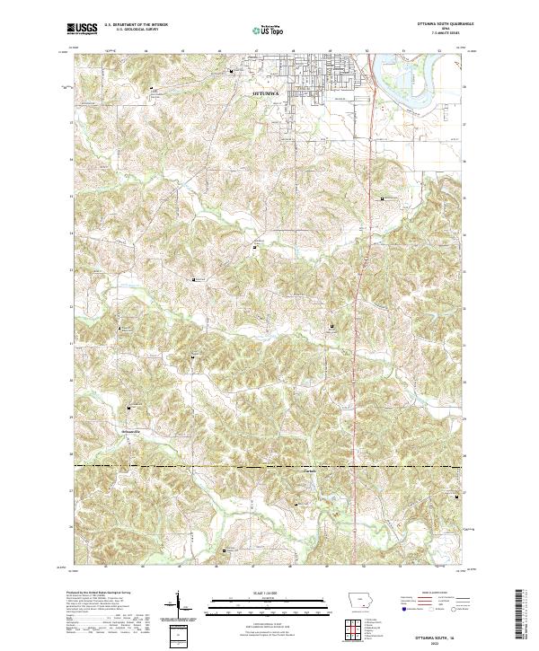 2022 Ottumwa South2022 Print · USGSSouthern Iowa farmland south of the Des Moines River is captured here in the early twenty-first century. Genealogists can trace family legacies through an unusual density of burial sites including Point Isabel Cem, Wilkenson Grave, and Rime Cem.
 - 2022 Map of Ottumwa North, 2022 Print
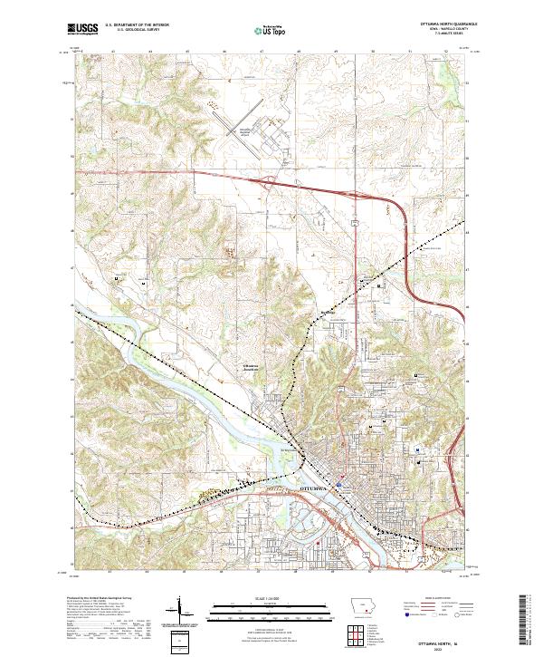 2022 Ottumwa North2022 Print · USGSOttumwa and the Des Moines River valley appear in high detail during this recent survey of Wapello County. Genealogists can locate family sites at Burns Cem and Harris Cem, while rail enthusiasts can trace the BNSF Railway through Ottumwa Junction.
 - 2022 Map of Farson, 2022 Print
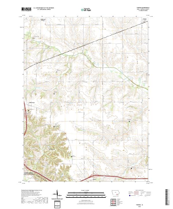 2022 Farson2022 Print · USGSSoutheast Iowa in the early 2020s reveals a structured landscape of rural townships and evolving residential clusters near Ottumwa. Researchers can locate many historical burial sites and small communities including Loch Burns, Highland Center, and the Dahlonega Cem.
End of results
Showing maps 1-15 of 15
Top cities near Ottumwa
- Eddyville historical maps
- Eldon historical maps
- Hedrick historical maps
- Fremont historical maps
- Agency historical maps
- Blakesburg historical maps
See more
Top neighborhoods of Ottumwa
Frequently asked questions
- What are the different types of historical maps available for Ottumwa?
- What is the oldest map of Ottumwa?
- Where can I purchase historical maps of Ottumwa for my home or office?
- Where can I download high-res historical maps of Ottumwa?
- Are there historical topographic maps available for Ottumwa?
- Is there historical aerial imagery available for Ottumwa?
- Where are historical maps of Ottumwa sourced from?