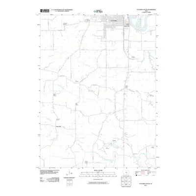
2010 Map of Ottumwa South
USGS Topo · Published 2010About this map
The southern edge of Ottumwa meets the winding Des Moines River in this detailed 2010 topographic record of Wapello County. The landscape is a network of small creeks and rural roads, defined by its numerous family and community burial grounds that offer significant value for genealogical research. Prominent sites include the County Farm (Number One Cemetery) and the Sherman Chapel Cemetery near Soap Creek. Smaller settlements like Ormanville and Carbon are identified alongside recreational sites such as Hickory Grove Camp. The map details the drainage patterns of the region, where tributaries like Little Soap Creek and Village Creek carve through the Iowa countryside, marking the transition from the city's urban fringes to a more traditional agricultural environment.
Find a feature on this map
46 named features on this map. Tap any name to fly to it.
Don’t see what you’re looking for? This feature index may not catch every label — zoom into the map to look around manually.
Map Details
Editions of this 2010 Ottumwa South Map
This is the sole edition of this map. No revisions or reprints were ever made.
Other maps of this area

1954 · Centerville
USGS Topo · 1:250,000

1954 · Des Moines
USGS Topo · 1:250,000

1956 · Des Moines
USGS Topo · 1:250,000

1956 · Farson
USGS Topo · 1:24,000

1956 · Agency
USGS Topo · 1:24,000

1956 · Ottumwa North
USGS Topo · 1:62,500

1956 · Ottumwa South
USGS Topo · 1:24,000

1956 · Ottumwa South
USGS Topo · 1:62,500

1956 · Ottumwa North
USGS Topo · 1:24,000

1957 · Des Moines
USGS Topo · 1:250,000