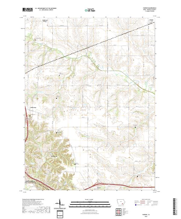
2022 Map of Farson
USGS Topo · Published 2022About this map
Highland Center and Farson anchor the northern landscape of this Wapello County region, where the terrain is defined by the winding paths of Cedar Creek and its various tributaries. The settlement pattern follows a grid of local roads and highways, including Co HWY h17 and Co HWY h25, connecting small residential clusters and rural homesteads. The southern edge of the survey reaches the outskirts of Ottumwa, transitioning into the community of Agency. For local historians, the map is particularly notable for its density of burial sites. Numerous family and community landmarks are documented throughout the townships, including McCormick Cem, Dahlonega Cem, Kitterman Cem, and Bladensburg Cem. These features, alongside named locations like Loch Burns and the prominent Round Point terrain, illustrate the mid-20th-century development of this agricultural and residential corridor in southeast Iowa.
Find a feature on this map
45 named features on this map. Tap any name to fly to it.
Don’t see what you’re looking for? This feature index may not catch every label — zoom into the map to look around manually.
Map Details
Editions of this 2022 Farson Map
This is the sole edition of this map. No revisions or reprints were ever made.
Other maps of this area

1954 · Centerville
USGS Topo · 1:250,000

1954 · Des Moines
USGS Topo · 1:250,000

1956 · Des Moines
USGS Topo · 1:250,000

1956 · Farson
USGS Topo · 1:24,000

1956 · Agency
USGS Topo · 1:24,000

1956 · Ottumwa North
USGS Topo · 1:62,500

1956 · Ottumwa South
USGS Topo · 1:24,000

1956 · Ottumwa South
USGS Topo · 1:62,500

1956 · Ottumwa North
USGS Topo · 1:24,000

1957 · Des Moines
USGS Topo · 1:250,000