2000s (21st Century) Maps of Allerton, Iowa
Explore 10 historic maps of Allerton from the 2000s (21st Century). These maps offer a rare glimpse into what life looked like during the 2000s — showing old roads, neighborhoods, homes, and landmarks that have changed or disappeared over time.
Whether you're researching your family's past, planning a metal detecting trip, or studying how Allerton's landscape evolved across the 2000s, these high-resolution maps are a powerful tool for exploring the history of this region.
- Focus on a specific era: All maps on this page are from the 2000s, giving you a focused view of this time period.
- See what’s changed: Compare century-old streets, trails, and buildings to today's modern landscape using overlays and satellite layers.
- Research with precision: Use these maps for genealogy, historical research, land use analysis, or educational projects.
- View, download, or print: Maps are fully viewable online in high resolution, and can be downloaded or printed for your own records.
Start exploring Allerton's history through authentic maps from the 2000s. This is your window into the past.
Allerton, IA maps
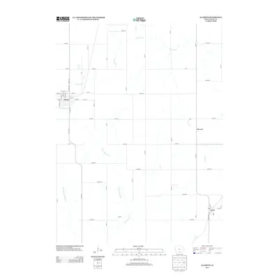
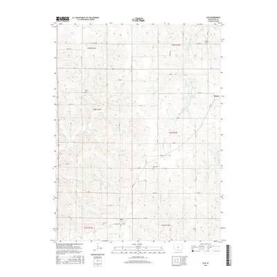
(10)- 2010 Map of Allerton, 2010 Print
 2010 Allerton2010 Print · USGSCovers Allerton, including Corydon, Harvard, and other nearby areas
 - 2010 Map of Clio, 2010 Print
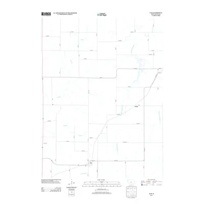
 2010 Clio2010 Print · USGSCovers Allerton, including Clio, Hodge, and other nearby areas
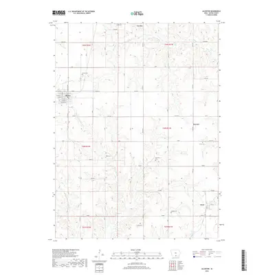
 - 2013 Map of Allerton, 2013 Print
 2013 Allerton2013 Print · USGSCovers Allerton, including Corydon, Harvard, and other nearby areas
 - 2013 Map of Clio, 2013 Print
 2013 Clio2013 Print · USGSCovers Allerton, including Clio, Hodge, and other nearby areas
 - 2015 Map of Allerton, 2015 Print
 2015 Allerton2015 Print · USGSCovers Allerton, including Corydon, Harvard, and other nearby areas
 - 2015 Map of Clio, 2015 Print
 2015 Clio2015 Print · USGSCovers Allerton, including Clio, Hodge, and other nearby areas
 - 2018 Map of Clio, 2018 Print
 2018 Clio2018 Print · USGSCovers Allerton, including Clio, Hodge, and other nearby areas
 - 2018 Map of Allerton, 2018 Print
 2018 Allerton2018 Print · USGSCovers Allerton, including Corydon, Harvard, and other nearby areas
 - 2022 Map of Clio, 2022 Print
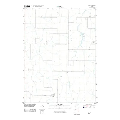
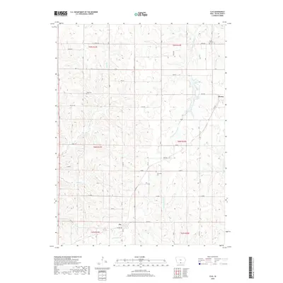
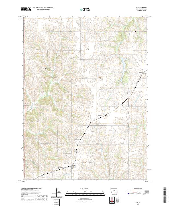 2022 Clio2022 Print · USGSWayne County's rural landscape is surveyed here in the modern era, centering on the township of Allerton. Researchers can trace local lineage and land use through well-marked sites like Clio Cem and the waters of the South Fork Chariton River.
 - 2022 Map of Allerton, 2022 Print
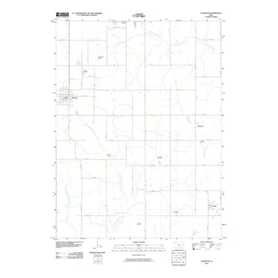
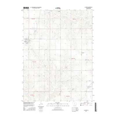
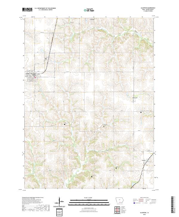 2022 Allerton2022 Print · USGSWayne County, Iowa, is documented here in the early twenty-first century, showing a landscape of traditional agriculture and rural townships. Family historians can trace local roots through numerous sites like Allerton Cem, Sewal, and Richardson Chappel Cem.
End of results
Showing maps 1-10 of 10
Top cities near Allerton
- Corydon historical maps
- Humeston historical maps
- Mercer historical maps
- Lineville historical maps
- Derby historical maps
- Promise City historical maps
See more
Frequently asked questions
- What are the different types of historical maps available for Allerton?
- What is the oldest map of Allerton?
- Where can I purchase historical maps of Allerton for my home or office?
- Where can I download high-res historical maps of Allerton?
- Are there historical topographic maps available for Allerton?
- Is there historical aerial imagery available for Allerton?
- Where are historical maps of Allerton sourced from?