Old Maps of Genoa, Iowa for Metal Detecting
Plan your next treasure hunt with 12 historic maps of Genoa. Find old homesites, ghost towns, trails, and gathering spots that may be lost to time — perfect for identifying promising metal detecting locations.
- Locate forgotten sites: Uncover places like long-lost settlements, abandoned rail lines, or gathering spots.
- Plan better hunts: Use map overlays combined with LiDAR or satellite views to narrow in on historically rich areas.
- Made for detectorists: Thousands of hobbyists use these maps to discover relics, coins, and hidden history.
Use these historic maps to boost your research and find new opportunities beneath the surface of Genoa.
Genoa, IA maps
(12)- 1942 Map of Seymour, 1954 Print
 1942 Seymour1954 Print · USGSSouthern Iowa and the Missouri borderlands are captured here just as the rural schoolhouse era reached its peak. Genealogists can trace family roots through dozens of local landmarks like Genoa Cem, Locust Valley Mine, and the Kniffin Sch.
 - 1944 Map of Seymour
 1944 Seymour1944 Print · USGSSouthern Iowa and northern Missouri are captured here in the early 1940s, showing a landscape defined by crossing rail lines and small-town junctions. Genealogists can locate numerous country schools and burial sites like Genoa Cem, Schultz Cem, and Happy Hollow Sch.2 unique versions available
 - 1954 Map of Centerville, 1967 Print
 1954 Centerville1967 Print · USGSThe Iowa-Missouri borderlands at mid-century reveal a landscape shaped by river valleys and the height of the regional rail network. Genealogists and historians can trace the paths of the Wabash railroad and locate old townsites like Mystic, Moulton, and Greentop.3 unique versions available
 - 1957 Map of Centerville
 1957 Centerville1957 Print · USGSThe Iowa-Missouri borderlands in the mid-fifties reveal a landscape of river-valley agriculture and vital rail corridors. Genealogists and historians can trace family-named landmarks and small-town growth in Centerville, Kirksville, and along the Wabash railroad line.
 - 1958 Map of Centerville
 1958 Centerville1958 Print · USGSThe Iowa-Missouri borderlands come into focus during the mid-fifties, showing a landscape defined by river valleys and intersecting rail lines. Genealogists and local historians can trace family roots through dozens of rural hubs like Bloomfield, Unionville, and Corydon.
 - 1979 Map of Lake Thunderhead, 1980 Print
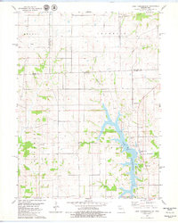 1979 Lake Thunderhead1980 Print · USGSThe Missouri-Iowa borderlands underwent significant change in the late seventies as the waters of Lake Thunderhead reshaped the terrain. Genealogists and local historians can locate long-standing landmarks like Genoa, Franklin Ch, and Union Cem alongside newer developments.
 - 1981 Map of Leon, 1982 Print
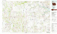 1981 Leon1982 Print · USGSSouthern Iowa and northern Missouri are captured here in the early eighties as the rural landscape balances traditional agriculture with large-scale water management. Researchers can trace the path of the Burlington Northern through Leon or locate early settlements like Decatur City and New Buda.
 - 2010 Map of Lake Thunderhead, 2010 Print
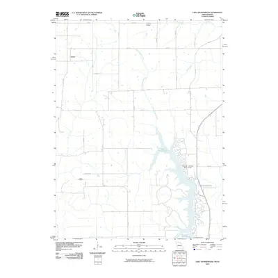 2010 Lake Thunderhead2010 Print · USGSThe rural borderlands of Iowa and Missouri are seen here in the early twenty-first century, centered on the major reservoir at Lake Thunderhead. Researchers can find Genoa and family sites at Livingston Cemetery or Union Cemetery.
 - 2012 Map of Lake Thunderhead, 2012 Print
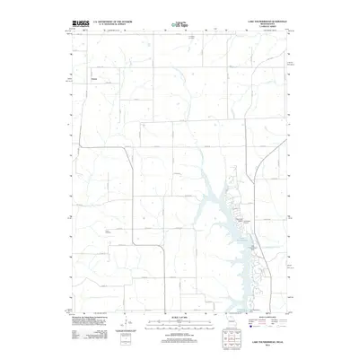 2012 Lake Thunderhead2012 Print · USGSThe Missouri-Iowa border region is documented here in the early twenty-first century as modern reservoirs and rural settlements define the landscape. Researchers can trace the development around Lake Thunderhead or locate family sites at Livingston Cemetery and Genoa.
 - 2015 Map of Lake Thunderhead, 2015 Print
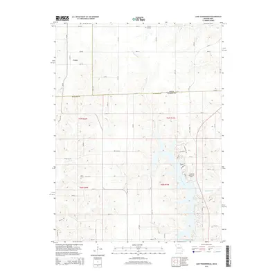 2015 Lake Thunderhead2015 Print · USGSThe Iowa and Missouri borderlands are captured here in the mid-2010s, centered on the waters of Lake Thunderhead. Family historians can trace local roots at Union Cemetery and Livingston Cemetery or locate the rural settlement of Genoa.
 - 2017 Map of Lake Thunderhead, 2017 Print
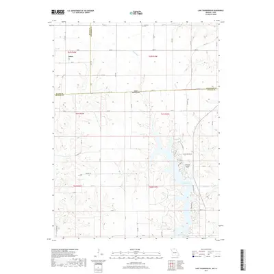 2017 Lake Thunderhead2017 Print · USGSThe Missouri-Iowa border comes alive on this survey of the region around Lake Thunderhead and Genoa. Local historians and genealogists can trace the rural infrastructure of Putnam and Wayne Counties through sites like Union Cem and Livingston Cem.
 - 2021 Map of Lake Thunderhead, 2021 Print
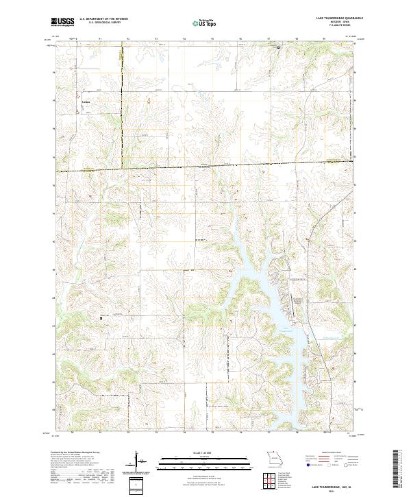 2021 Lake Thunderhead2021 Print · USGSThe Missouri-Iowa state line comes into focus in this recent survey of the lands around Lake Thunderhead and the village of Genoa. Genealogists and local historians can trace burial sites at Union Cem and Livingston Cem or locate the Unionville Municipal Airport.
End of results
Showing maps 1-12 of 12
Top cities near Genoa
- Centerville historical maps
- Unionville historical maps
- Corydon historical maps
- Seymour historical maps
- Mystic historical maps
- Cincinnati historical maps
See more
Frequently asked questions
- What are the different types of historical maps available for Genoa?
- What is the oldest map of Genoa?
- Where can I purchase historical maps of Genoa for my home or office?
- Where can I download high-res historical maps of Genoa?
- Are there historical topographic maps available for Genoa?
- Is there historical aerial imagery available for Genoa?
- Where are historical maps of Genoa sourced from?