Old Maps of Humeston, Iowa for Academic Research
Study the evolution of Humeston with 18 high-resolution historic maps. Whether you're teaching, researching, or modeling changes in land use, these maps provide essential visual documentation of urban, environmental, and geographic change.
- Analyze long-term change: Track patterns in development, transportation, and natural features.
- Ideal for environmental or urban studies: Support academic projects with primary historical map data.
- Use in the classroom or lab: Educators and researchers rely on these maps to bring historical context to life.
These maps are a powerful tool for teaching, research, and visualizing how Humeston has changed over the decades.
Humeston, IA maps
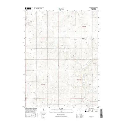
(18)- 1934 Map of Humeston
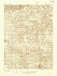 1934 Humeston1934 Print · USGSSouthern Iowa farmland and small-town commerce define this 1930s landscape, where rail lines and river branches meet. Genealogists can trace family roots at Humeston and Corydon or locate rural landmarks like Eden Ch and the Wayne County Farm.3 unique versions available
 - 1937 Map of Corydon
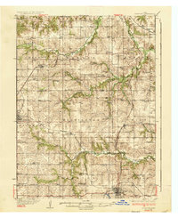 1937 Corydon1937 Print · USGSWayne County and the city of Corydon are captured in the mid-1930s, showing a landscape tightly organized around rail transport and rural education. Genealogists and historians can trace dozens of country schools and churches like Rabbit Ridge Sch, Brown Jug Sch, and Eden Ch.2 unique versions available
 - 1954 Map of Centerville, 1967 Print
 1954 Centerville1967 Print · USGSThe Iowa-Missouri borderlands at mid-century reveal a landscape shaped by river valleys and the height of the regional rail network. Genealogists and historians can trace the paths of the Wabash railroad and locate old townsites like Mystic, Moulton, and Greentop.3 unique versions available
 - 1957 Map of Centerville
 1957 Centerville1957 Print · USGSThe Iowa-Missouri borderlands in the mid-fifties reveal a landscape of river-valley agriculture and vital rail corridors. Genealogists and historians can trace family-named landmarks and small-town growth in Centerville, Kirksville, and along the Wabash railroad line.
 - 1958 Map of Centerville
 1958 Centerville1958 Print · USGSThe Iowa-Missouri borderlands come into focus during the mid-fifties, showing a landscape defined by river valleys and intersecting rail lines. Genealogists and local historians can trace family roots through dozens of rural hubs like Bloomfield, Unionville, and Corydon.
 - 1965 Map of Garden Grove, 1967 Print
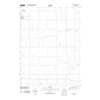
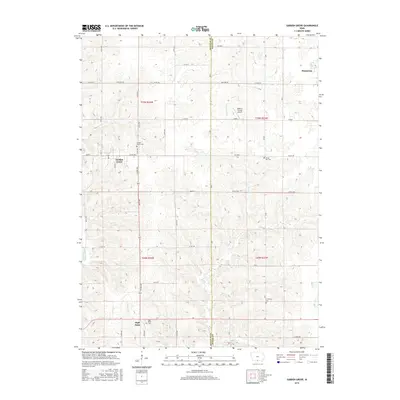
 1965 Garden Grove1967 Print · USGSDecatur and Wayne Counties are captured in the mid-1960s, showing the agricultural rhythm of southern Iowa before modernization reshaped its rural landscape. Researchers can trace family roots at Green Bay Cem. or locate regional landmarks like the Chicago Burlington and Quincy railroad and the local Drive-in Theater.
 - 1981 Map of Leon, 1982 Print
 1981 Leon1982 Print · USGSSouthern Iowa and northern Missouri are captured here in the early eighties as the rural landscape balances traditional agriculture with large-scale water management. Researchers can trace the path of the Burlington Northern through Leon or locate early settlements like Decatur City and New Buda.
 - 1982 Map of Humeston, 1983 Print
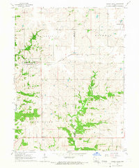
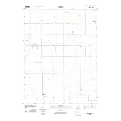
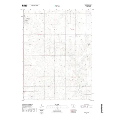
 1982 Humeston1983 Print · USGSWayne County farming communities thrive in the early 1980s as the railroad era transitions to the recreational trail of The Cinder Path. Genealogists can locate several rural burial sites like Greenlee Cem and landmarks such as New Zion Ch.
 - 2010 Map of Garden Grove, 2010 Print
 2010 Garden Grove2010 Print · USGSCovers Humeston, including Garden Grove, Le Roy, and other nearby areas
 - 2010 Map of Humeston, 2010 Print
 2010 Humeston2010 Print · USGSCovers Humeston, including Cambria, Saxon, and other nearby areas
 - 2013 Map of Garden Grove, 2013 Print
 2013 Garden Grove2013 Print · USGSCovers Humeston, including Garden Grove, Le Roy, and other nearby areas
 - 2013 Map of Humeston, 2013 Print
 2013 Humeston2013 Print · USGSCovers Humeston, including Cambria, Saxon, and other nearby areas
 - 2015 Map of Humeston, 2015 Print
 2015 Humeston2015 Print · USGSCovers Humeston, including Cambria, Saxon, and other nearby areas
 - 2015 Map of Garden Grove, 2015 Print
 2015 Garden Grove2015 Print · USGSCovers Humeston, including Garden Grove, Le Roy, and other nearby areas
 - 2018 Map of Garden Grove, 2018 Print
 2018 Garden Grove2018 Print · USGSCovers Humeston, including Garden Grove, Le Roy, and other nearby areas
 - 2018 Map of Humeston, 2018 Print
 2018 Humeston2018 Print · USGSCovers Humeston, including Cambria, Saxon, and other nearby areas
 - 2022 Map of Garden Grove, 2022 Print
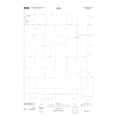
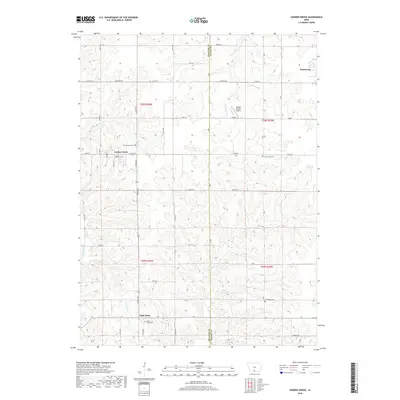
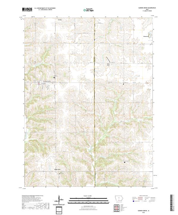 2022 Garden Grove2022 Print · USGSGarden Grove and the surrounding townships are captured in this modern survey of Southern Iowa's rolling farmland. Genealogists can locate family landmarks like Lewisburg Cem and High Point Cem or trace the winding paths of the Chariton River.
 - 2022 Map of Humeston, 2022 Print
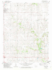
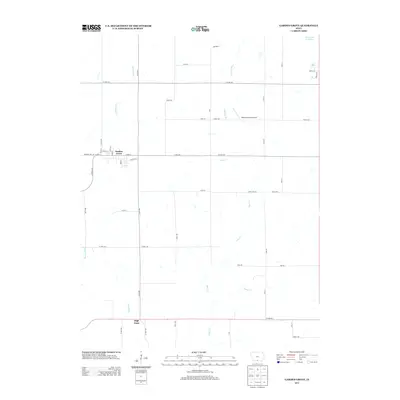
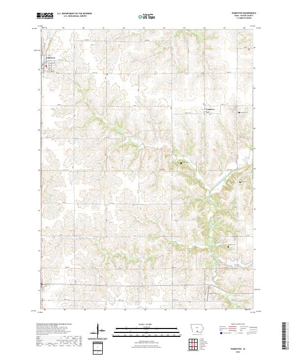 2022 Humeston2022 Print · USGSWayne County's agricultural heartland is documented here in the early twenty-first century, centered on the grid of Humeston. Local historians can trace family ties at Cambria Cem, Rush Cem, or Greenlee Cem along the S Fork Chariton River.
End of results
Showing maps 1-18 of 18
Top cities near Humeston
- Chariton historical maps
- Corydon historical maps
- Allerton historical maps
- Garden Grove historical maps
- Lucas historical maps
- Woodburn historical maps
See more
Frequently asked questions
- What are the different types of historical maps available for Humeston?
- What is the oldest map of Humeston?
- Where can I purchase historical maps of Humeston for my home or office?
- Where can I download high-res historical maps of Humeston?
- Are there historical topographic maps available for Humeston?
- Is there historical aerial imagery available for Humeston?
- Where are historical maps of Humeston sourced from?