2000s (21st Century) Maps of Duncombe, Iowa
Explore 10 historic maps of Duncombe from the 2000s (21st Century). These maps offer a rare glimpse into what life looked like during the 2000s — showing old roads, neighborhoods, homes, and landmarks that have changed or disappeared over time.
Whether you're researching your family's past, planning a metal detecting trip, or studying how Duncombe's landscape evolved across the 2000s, these high-resolution maps are a powerful tool for exploring the history of this region.
- Focus on a specific era: All maps on this page are from the 2000s, giving you a focused view of this time period.
- See what’s changed: Compare century-old streets, trails, and buildings to today's modern landscape using overlays and satellite layers.
- Research with precision: Use these maps for genealogy, historical research, land use analysis, or educational projects.
- View, download, or print: Maps are fully viewable online in high resolution, and can be downloaded or printed for your own records.
Start exploring Duncombe's history through authentic maps from the 2000s. This is your window into the past.
Duncombe, IA maps
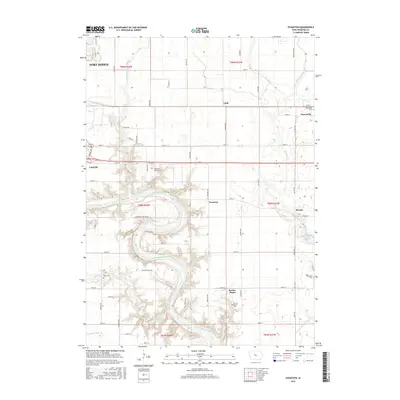
(10)- 2010 Map of Evanston, 2010 Print
 2010 Evanston2010 Print · USGSCovers Duncombe, including Fort Dodge, Burnside Township, and other nearby areas
 - 2010 Map of Duncombe, 2010 Print
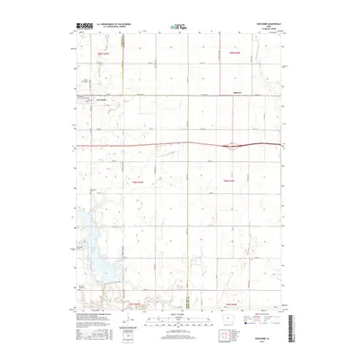
 2010 Duncombe2010 Print · USGSCovers Duncombe, including Webster Township, Washington Township, and other nearby areas
 - 2013 Map of Duncombe, 2013 Print
 2013 Duncombe2013 Print · USGSCovers Duncombe, including Webster Township, Washington Township, and other nearby areas
 - 2013 Map of Evanston, 2013 Print
 2013 Evanston2013 Print · USGSCovers Duncombe, including Fort Dodge, Burnside Township, and other nearby areas
 - 2015 Map of Duncombe, 2015 Print
 2015 Duncombe2015 Print · USGSCovers Duncombe, including Webster Township, Washington Township, and other nearby areas
 - 2015 Map of Evanston, 2015 Print
 2015 Evanston2015 Print · USGSCovers Duncombe, including Fort Dodge, Burnside Township, and other nearby areas
 - 2018 Map of Duncombe, 2018 Print
 2018 Duncombe2018 Print · USGSCovers Duncombe, including Webster Township, Washington Township, and other nearby areas
 - 2018 Map of Evanston, 2018 Print
 2018 Evanston2018 Print · USGSCovers Duncombe, including Fort Dodge, Burnside Township, and other nearby areas
 - 2022 Map of Duncombe, 2022 Print
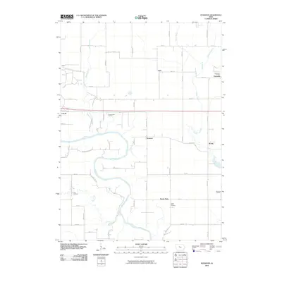
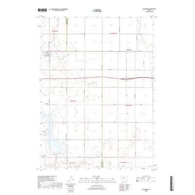
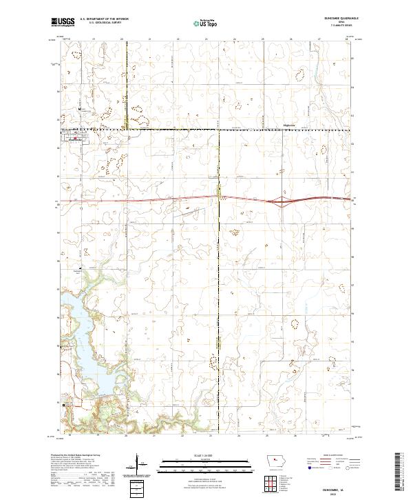 2022 Duncombe2022 Print · USGSThe farmlands of eastern Webster County are mapped here in the early twenty-first century, centered on the town of Duncombe. Genealogists and historians can locate several burial sites like Saint Josephs Cem and trace recreation paths such as Big Rock Trl near Brushy Creek.
 - 2022 Map of Evanston, 2022 Print
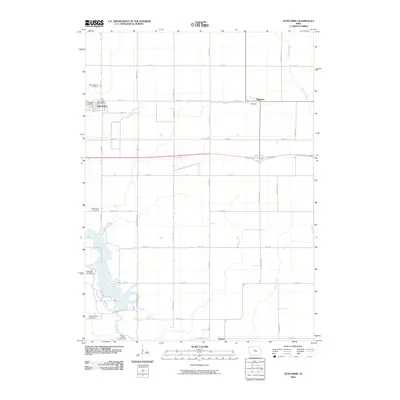
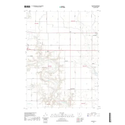
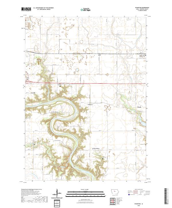 2022 Evanston2022 Print · USGSWebster County's river-carved landscape is documented here in the early twenty-first century, showing the enduring agricultural and rural patterns of central Iowa. Researchers can locate generational burial sites like Otho Cem and Blanchard Cem or trace the small settlements of Coalville and Evanston.
End of results
Showing maps 1-10 of 10
Top cities near Duncombe
- Fort Dodge historical maps
- Webster City historical maps
- Eagle Grove historical maps
- Dayton historical maps
- Stratford historical maps
- Coalville historical maps
See more
Frequently asked questions
- What are the different types of historical maps available for Duncombe?
- What is the oldest map of Duncombe?
- Where can I purchase historical maps of Duncombe for my home or office?
- Where can I download high-res historical maps of Duncombe?
- Are there historical topographic maps available for Duncombe?
- Is there historical aerial imagery available for Duncombe?
- Where are historical maps of Duncombe sourced from?