2022 Map of Evanston
USGS Topo · Published 2022About this map
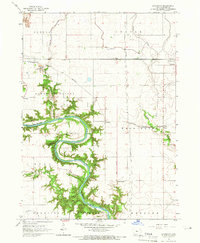
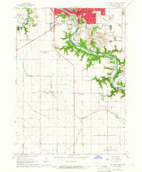
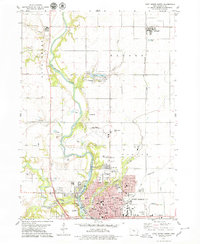
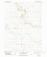
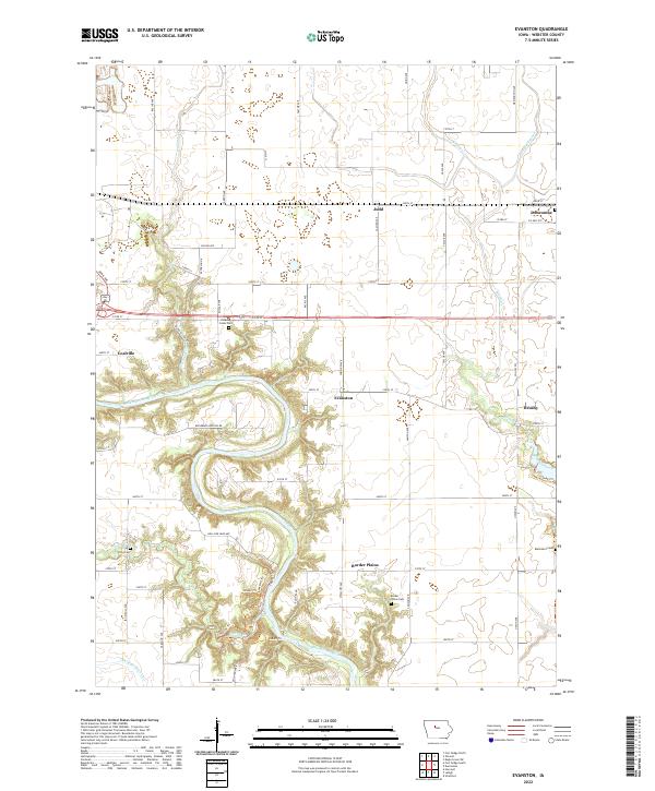
The Des Moines River carves a deep, winding path through this portion of Webster County, shaping the settlement patterns and road networks of the surrounding prairie. Along the river's eastern banks, the small communities of Evanston and Border Plains sit near sharp oxbow bends, while Coalville occupies the western heights overlooking the valley. The map reveals a landscape defined by both natural watercourses like Brushy Creek and man-made interventions such as Drainage Ditch 19, which reflects the region's agricultural drainage history. Genealogists will find several burial grounds distributed across the townships, including Washington Township Cem near Duncombe and the secluded Border Plains Cem. The transition from the high, flat farmland of Judd to the complex topography of Woodmans Hollow Rd illustrates the varied character of the Iowa river country.
Find a feature on this map
58 named features on this map. Tap any name to fly to it.
Don’t see what you’re looking for? This feature index may not catch every label — zoom into the map to look around manually.
Map Details
Editions of this 2022 Evanston Map
This is the sole edition of this map. No revisions or reprints were ever made.
Historical Maps of Duncombe Through Time
8 maps found