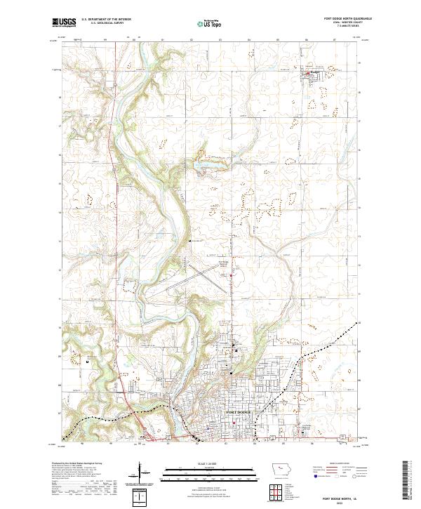
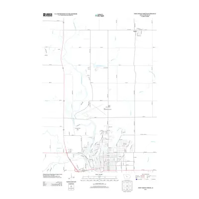
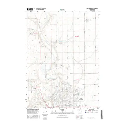
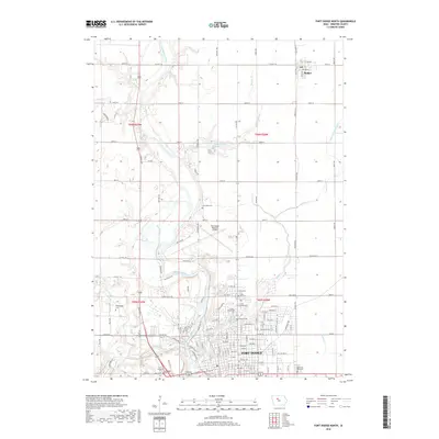
2022 Map of Fort Dodge North
USGS Topo · Published 2022About this map
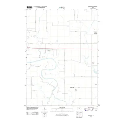
The Des Moines River carves a winding path through this portion of Webster County, defining the local landscape as it flows south toward the heart of Fort Dodge. This map highlights the transition from the gridded agricultural uplands near Badger to the complex urban and industrial development of the county seat. The northern outskirts of the city are marked by a dense concentration of civic and memorial sites, including the Webster County Courthouse and numerous burial grounds such as North Lawn Cem and Corpus Christi Cem.
Find a feature on this map
76 named features on this map. Tap any name to fly to it.
Don’t see what you’re looking for? This feature index may not catch every label — zoom into the map to look around manually.
Map Details
Editions of this 2022 Fort Dodge North Map
This is the sole edition of this map. No revisions or reprints were ever made.
Historical Maps of Fort Dodge Through Time
24 maps found
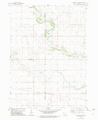
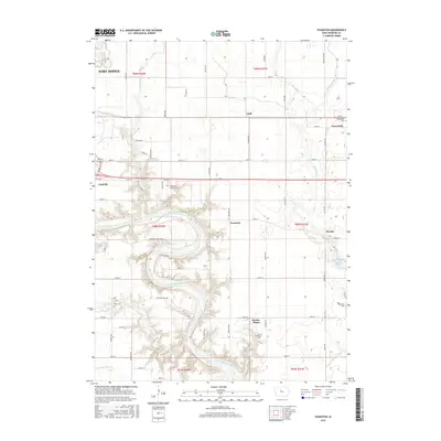
1965 Evanston
Webster County, IA
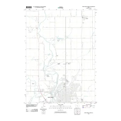
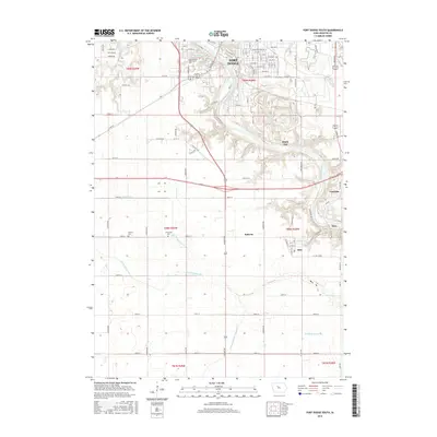
1965 Fort Dodge South
Webster County, IA
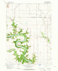
1979 Fort Dodge North
Webster County, IA
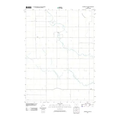
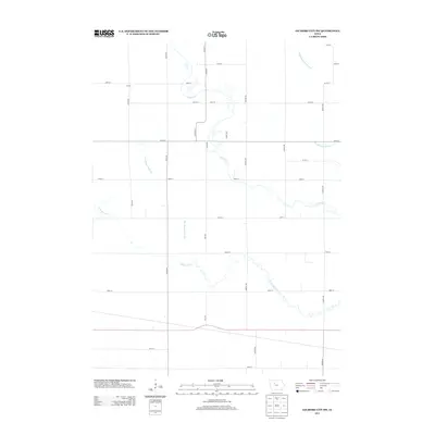
1979 Gilmore City SW
Webster County, IA
2010 Evanston
Webster County, IA
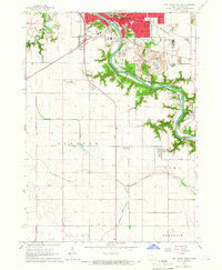
2010 Fort Dodge North
Webster County, IA
2010 Fort Dodge South
Webster County, IA
2010 Gilmore City SW
Webster County, IA
2013 Evanston
Webster County, IA
2013 Fort Dodge North
Webster County, IA
2013 Fort Dodge South
Webster County, IA
2013 Gilmore City SW
Webster County, IA
2015 Evanston
Webster County, IA
2015 Fort Dodge North
Webster County, IA
2015 Fort Dodge South
Webster County, IA
2015 Gilmore City SW
Webster County, IA
2018 Evanston
Webster County, IA
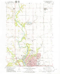
2018 Fort Dodge North
Webster County, IA
2018 Fort Dodge South
Webster County, IA
2018 Gilmore City SW
Webster County, IA
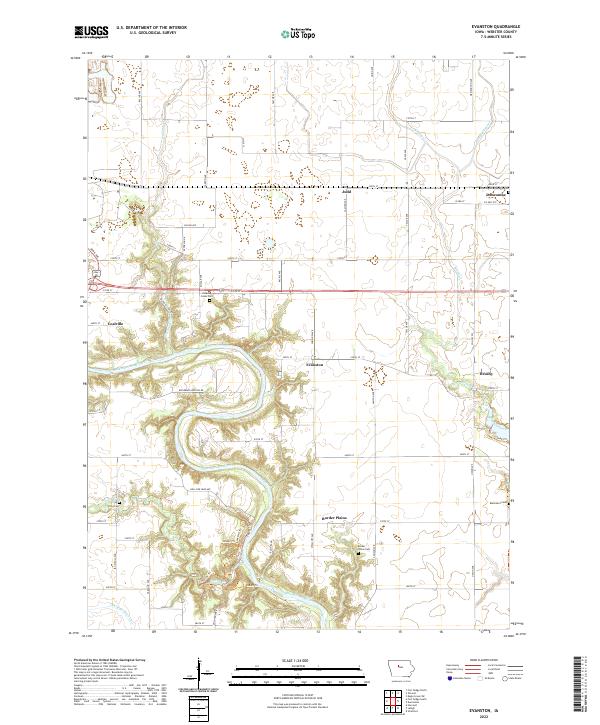
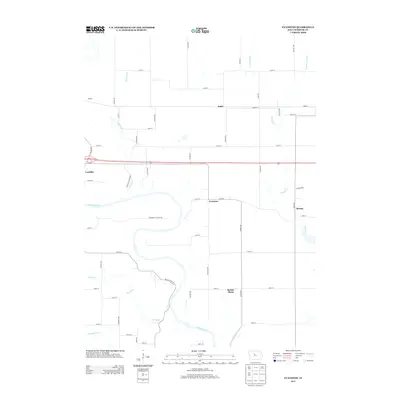
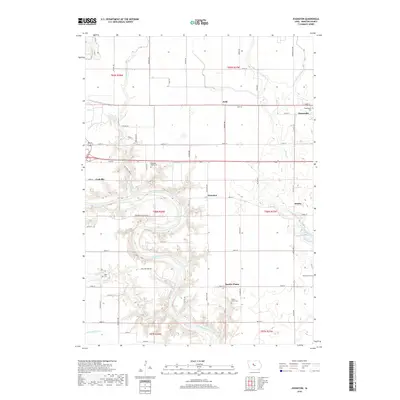
2022 Evanston
Webster County, IA
2022 Fort Dodge North
Webster County, IA

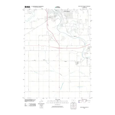
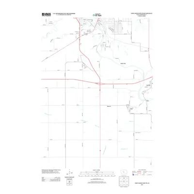
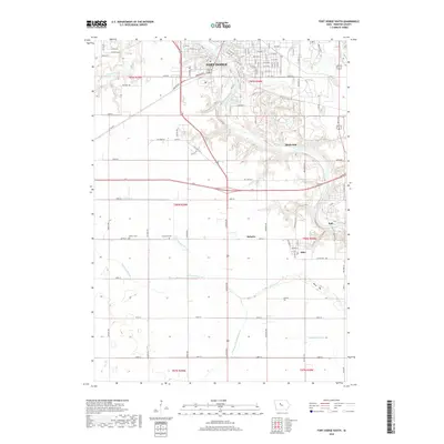
2022 Fort Dodge South
Webster County, IA
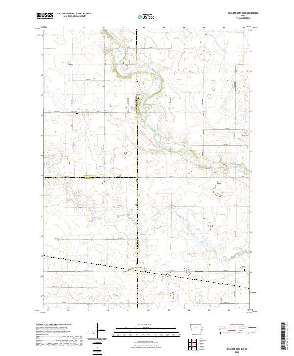
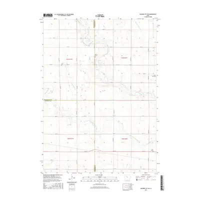
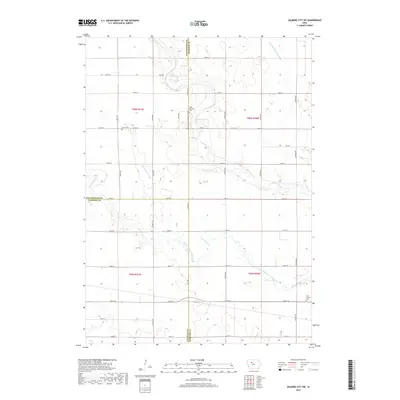
2022 Gilmore City SW
Webster County, IA