Old Maps of Ossian, Iowa for Academic Research
Study the evolution of Ossian with 13 high-resolution historic maps. Whether you're teaching, researching, or modeling changes in land use, these maps provide essential visual documentation of urban, environmental, and geographic change.
- Analyze long-term change: Track patterns in development, transportation, and natural features.
- Ideal for environmental or urban studies: Support academic projects with primary historical map data.
- Use in the classroom or lab: Educators and researchers rely on these maps to bring historical context to life.
These maps are a powerful tool for teaching, research, and visualizing how Ossian has changed over the decades.
Ossian, IA maps
(13)- 1906 Map of Decorah
 1906 Decorah1906 Print · USGSNortheast Iowa at the turn of the century was a land of intricate river valleys and vital railroad junctions. Genealogists can trace the early rail-and-river economy through landmarks like Decorah, the historic site of Fort Atkinson, and the junction at Calmar.3 unique versions available
 - 1958 Map of La Crosse, 1979 Print
 1958 La Crosse1979 Print · USGSThe Driftless Area of Wisconsin and Iowa is captured here during the late seventies, showing the intricate river valleys and ridge-top settlements. Genealogists and historians can trace the rail corridors of the Soo Line or locate landmarks like Grandad Bluff and Effigy Mounds National Monument.2 unique versions available
 - 1961 Map of La Crosse
 1961 La Crosse1961 Print · USGSThe Driftless Area at the start of the 1960s reveals a complex network of river towns and rail lines along the Mississippi River. Genealogists and historians can trace old settlements like New Amsterdam and Wyattville or locate major landmarks like Camp McCoy Military Reservation and Effigy Mounds National Monument.
 - 1965 Map of La Crosse
 1965 La Crosse1965 Print · USGSThe Driftless Area and the Upper Mississippi valley are captured here during a period of steady mid-century growth. Researchers can trace the rail lines of the Chicago and North Western or locate riverfront sites like Effigy Mounds National Monument and the Camp McCoy Military Reservation.
 - 1975 Map of Decorah 3 NE, 1977 Print
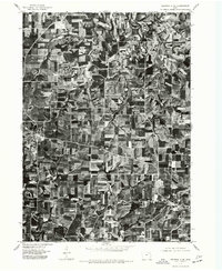 1975 Decorah 3 NE1977 Print · USGSWinneshiek County farmland is captured in sharp detail during the mid-seventies, showing the agricultural patterns of the Iowa countryside. Genealogists and local historians can trace the exact layouts of Calmar and Ossian as they appeared decades ago.
 - 1976 Map of La Crosse
 1976 La Crosse1976 Print · USGSThe Driftless Area and Mississippi River valley are captured here in the mid-seventies, showing a landscape of deep coulees and river commerce. Genealogists can trace family footprints from La Crosse to smaller hamlets like Newburg Corners and Witoka.
 - 1981 Map of Calmar, 1982 Print
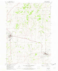 1981 Calmar1982 Print · USGSWinneshiek County during the early 1980s shows a landscape of busy railroad towns and quiet rural parishes. Genealogists and historians can trace family locations near Springfield Ch, St Aloysius Cem, and the old rail lines of Ossian.
 - 1985 Map of Decorah
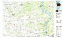 1985 Decorah1985 Print · USGSNortheast Iowa and western Wisconsin in the mid-eighties show a landscape of high bluffs and river valleys shaped by the Upper Iowa and Mississippi Rivers. Genealogists and historians can trace the paths of the Chicago Milwaukee St Paul and Pacific railroad or locate the National Cemetery and the ancient earthworks at Effigy Mounds National Monument.2 unique versions available
 - 2010 Map of Calmar, 2010 Print
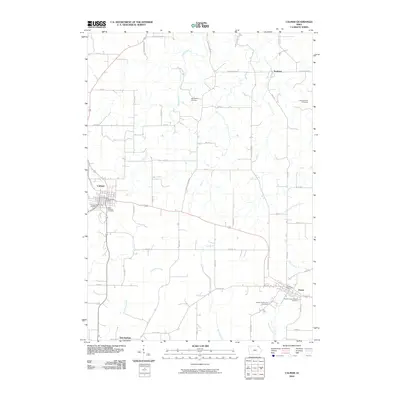 2010 Calmar2010 Print · USGSCalmar and Ossian are central to this 2010 survey of Winneshiek County's agricultural heartland. Researchers can trace local heritage at the Bruvold Farm Cemetery, Nordness, and the parish grounds of Saint Francis DeSales Cemetery.
 - 2013 Map of Calmar, 2013 Print
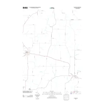 2013 Calmar2013 Print · USGSThe rural crossroads of Winneshiek County are captured here in the early twenty-first century as agricultural traditions meet modern transit. Genealogists and local historians can trace the developments around Calmar, Ossian, and Nordness, or follow the waters of the Yellow River.
 - 2015 Map of Calmar, 2015 Print
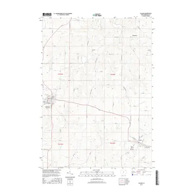 2015 Calmar2015 Print · USGSWinneshiek County rural life is captured here in the mid-2010s, centered on the communities of Calmar and Ossian. Genealogists and historians can trace numerous burial sites including Bruvold Farm Cem and Saint Francis DeSales Cem.
 - 2018 Map of Calmar, 2018 Print
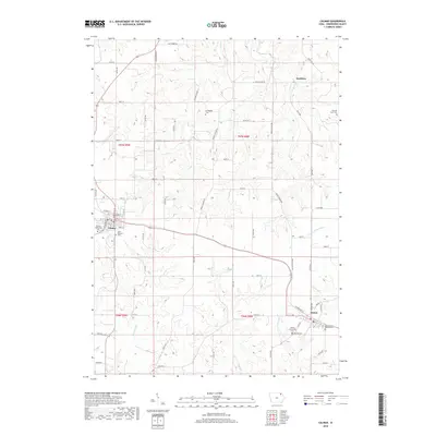 2018 Calmar2018 Print · USGSWinneshiek County agriculture and town life are documented here in the late 2010s. Genealogists can trace family footprints at Springfield Cemetery or Bruvold Farm Cemetery, while following the paths of Trout Creek and the Yellow River.
 - 2022 Map of Calmar, 2022 Print
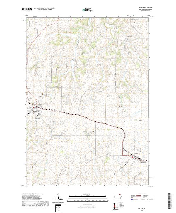 2022 Calmar2022 Print · USGSWinneshiek County crossroads including Calmar and Ossian are documented here during the early 2020s. Researchers can trace local genealogy through numerous sites like Saint Aloysius Cem or explore the route of the Prairie Farmer Recreational Trl.
End of results
Showing maps 1-13 of 13
Top cities near Ossian
- Decorah historical maps
- Postville historical maps
- West Union historical maps
- Calmar historical maps
- Elgin historical maps
- Clermont historical maps
See more
Frequently asked questions
- What are the different types of historical maps available for Ossian?
- What is the oldest map of Ossian?
- Where can I purchase historical maps of Ossian for my home or office?
- Where can I download high-res historical maps of Ossian?
- Are there historical topographic maps available for Ossian?
- Is there historical aerial imagery available for Ossian?
- Where are historical maps of Ossian sourced from?