2000s (21st Century) Maps of Clarion, Iowa
Explore 10 historic maps of Clarion from the 2000s (21st Century). These maps offer a rare glimpse into what life looked like during the 2000s — showing old roads, neighborhoods, homes, and landmarks that have changed or disappeared over time.
Whether you're researching your family's past, planning a metal detecting trip, or studying how Clarion's landscape evolved across the 2000s, these high-resolution maps are a powerful tool for exploring the history of this region.
- Focus on a specific era: All maps on this page are from the 2000s, giving you a focused view of this time period.
- See what’s changed: Compare century-old streets, trails, and buildings to today's modern landscape using overlays and satellite layers.
- Research with precision: Use these maps for genealogy, historical research, land use analysis, or educational projects.
- View, download, or print: Maps are fully viewable online in high resolution, and can be downloaded or printed for your own records.
Start exploring Clarion's history through authentic maps from the 2000s. This is your window into the past.
Clarion, IA maps
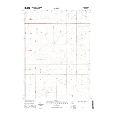
(10)- 2010 Map of Holmes, 2010 Print
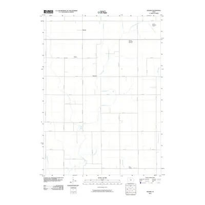 2010 Holmes2010 Print · USGSCovers Clarion, including Florence, Holmes, and other nearby areas
 - 2010 Map of Clarion, 2010 Print
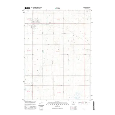
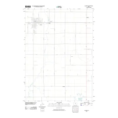 2010 Clarion2010 Print · USGSCovers Clarion, including Wright County, United States, and other nearby areas
 - 2013 Map of Clarion, 2013 Print
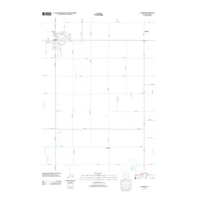 2013 Clarion2013 Print · USGSCovers Clarion, including Wright County, United States, and other nearby areas
 - 2013 Map of Holmes, 2013 Print
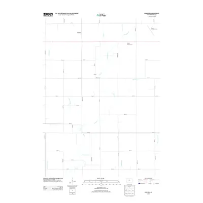 2013 Holmes2013 Print · USGSCovers Clarion, including Florence, Holmes, and other nearby areas
 - 2015 Map of Clarion, 2015 Print
 2015 Clarion2015 Print · USGSCovers Clarion, including Wright County, United States, and other nearby areas
 - 2015 Map of Holmes, 2015 Print
 2015 Holmes2015 Print · USGSCovers Clarion, including Florence, Holmes, and other nearby areas
 - 2018 Map of Clarion, 2018 Print
 2018 Clarion2018 Print · USGSCovers Clarion, including Wright County, United States, and other nearby areas
 - 2018 Map of Holmes, 2018 Print
 2018 Holmes2018 Print · USGSCovers Clarion, including Florence, Holmes, and other nearby areas
 - 2022 Map of Clarion, 2022 Print
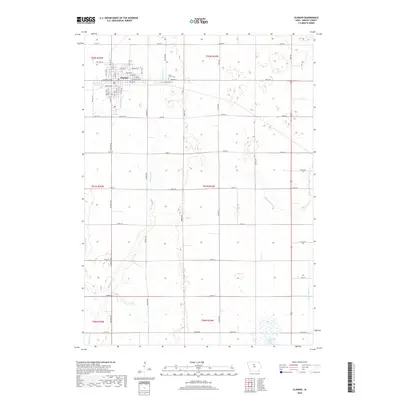
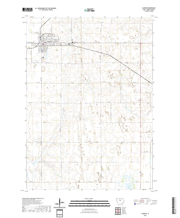 2022 Clarion2022 Print · USGSClarion and its surrounding townships are shown here in the early twenty-first century as a highly organized landscape of agriculture and local government. Researchers can trace family plots at Evergreen Cem or locate the historic Wright County Courthouse within the city's precise grid.
 - 2022 Map of Holmes, 2022 Print
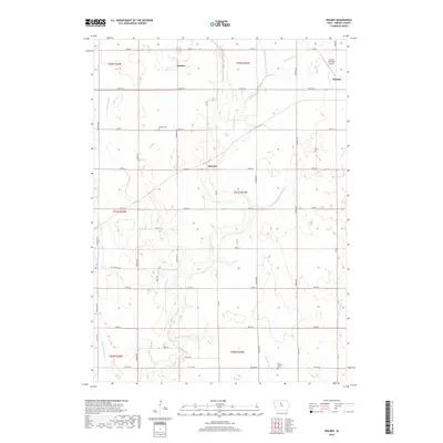
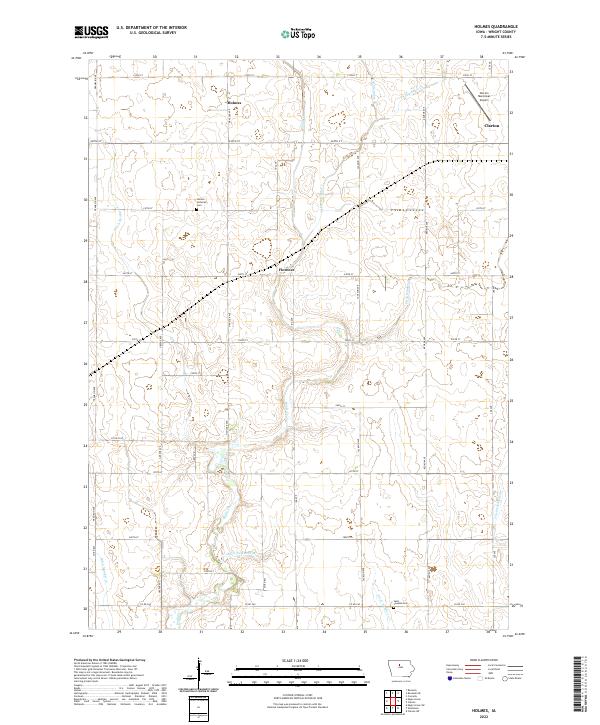 2022 Holmes2022 Print · USGSWright County at the start of the 2020s shows a landscape of precision farming and rural quietude. Researchers can trace family ties at the Holmes Lutheran Cem and Saint Josephs Cem or locate the small crossroads of Holmes and Florence.
End of results
Showing maps 1-10 of 10
Top cities near Clarion
- Eagle Grove historical maps
- Belmond historical maps
- Kanawha historical maps
- Goldfield historical maps
- Dows historical maps
- Woolstock historical maps
See more
Frequently asked questions
- What are the different types of historical maps available for Clarion?
- What is the oldest map of Clarion?
- Where can I purchase historical maps of Clarion for my home or office?
- Where can I download high-res historical maps of Clarion?
- Are there historical topographic maps available for Clarion?
- Is there historical aerial imagery available for Clarion?
- Where are historical maps of Clarion sourced from?