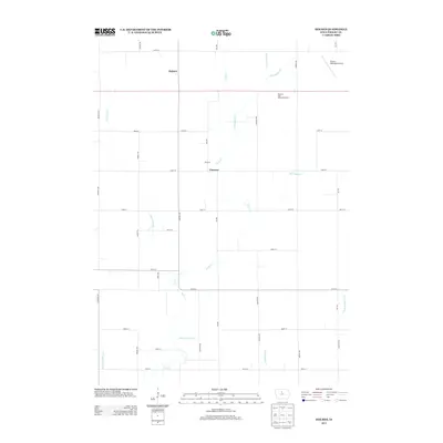
2013 Map of Holmes
USGS Topo · Published 2013About this map
Eagle Cr and its tributary Little Eagle Cr wind through this section of Wright County, where the agricultural landscape is defined by an extensive network of drainage features. These man-made improvements, such as Ditch Number 192, Ditch Number 9, and Ditch Number 171, reflect the long-term management of the Iowa prairie for high-yield farming. The map documents small clusters of settlement at Holmes, Florence, and Moscow, all interconnected by a rigid grid of rural roads including Greene Ave and Ida Ave. In the northeastern corner, the Clarion Municipal Airport marks the transition toward the nearby county seat. A notable landmark for travelers is the Flowing Well Safety Rest Area, indicating local hydrogeology where artesian pressure or shallow aquifers were utilized for public access.
Find a feature on this map
34 named features on this map. Tap any name to fly to it.
Don’t see what you’re looking for? This feature index may not catch every label — zoom into the map to look around manually.
Map Details
Editions of this 2013 Holmes Map
This is the sole edition of this map. No revisions or reprints were ever made.
Other maps of this area

1954 · Waterloo
USGS Topo · 1:250,000

1955 · Waterloo
USGS Topo · 1:250,000

1972 · Kanawha SE
USGS Topo · 1:24,000

1972 · Cornelia
USGS Topo · 1:24,000

1972 · Renwick
USGS Topo · 1:24,000

1978 · Holmes
USGS Topo · 1:24,000

1978 · Woolstock
USGS Topo · 1:24,000

1978 · Clarion
USGS Topo · 1:24,000

1978 · Eagle Grove SW
USGS Topo · 1:24,000

1978 · Clarion SW
USGS Topo · 1:24,000