Old Maps of Clarion, Iowa for Genealogy
Trace your family roots with 15 historic maps of Clarion. These high-res maps reveal old neighborhoods, homesites, landmarks, and streets — helping you uncover where your ancestors lived and how the area evolved over time.
- Explore historic neighborhoods: Identify where your relatives may have lived in the 1800s or 1900s.
- Compare maps over time: Trace the changes in streets, buildings, and landmarks for multi-generational research.
- Perfect for genealogy & ancestry research: Used by family historians and researchers to map out lineage and migration.
These maps are an incredible resource for exploring your personal connection to Clarion's past.
Clarion, IA maps
(15)- 1954 Map of Waterloo, 1968 Print
 1954 Waterloo1968 Print · USGSCentral Iowa at the height of its mid-century agricultural and rail boom features the growing hubs of Waterloo and Cedar Falls. Genealogists and researchers can trace the rail corridors of the Chicago Great Western and find local landmarks like Iowa State College and Brushy Ridge.4 unique versions available
 - 1955 Map of Waterloo
 1955 Waterloo1955 Print · USGSCentral Iowa in the mid-fifties presents a dense landscape of rail-connected farming towns and growing river cities. Researchers can trace ancestral roots and old transport routes through Waterloo, Marshalltown, and Ames, while locating rural Cemeteries and local Quarries.2 unique versions available
 - 1978 Map of Holmes, 1979 Print
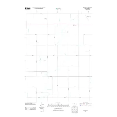
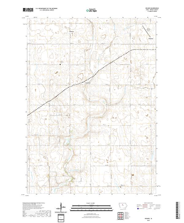
 1978 Holmes1979 Print · USGSWright County in the late seventies is characterized by its meticulous drainage systems and the crossing of major rail lines. Researchers can trace the paths of the Chicago Rock Island and Pacific and find local landmarks like Holmes Cem and the Flowing Well.
 - 1978 Map of Clarion, 1979 Print
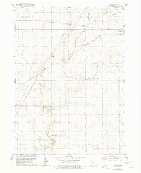
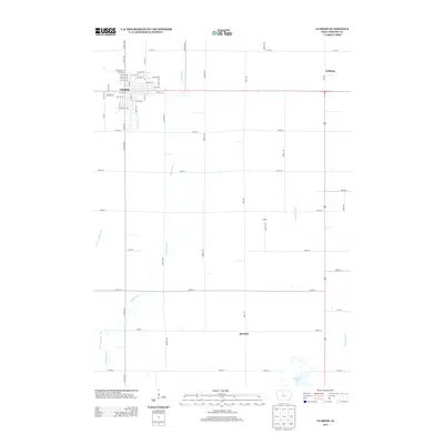
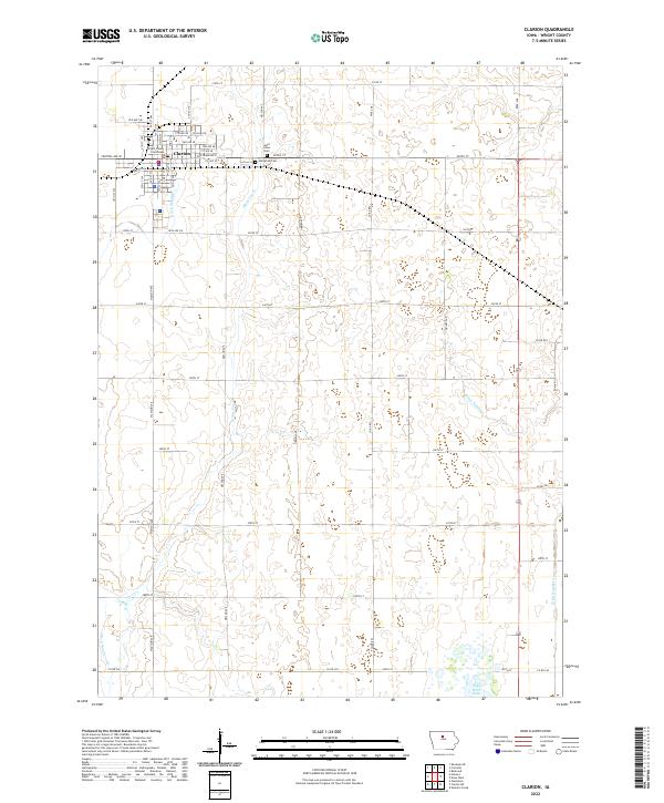
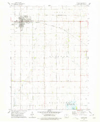 1978 Clarion1979 Print · USGSWright County at the end of the seventies centers on the bustling rail junction at Clarion. Genealogists and historians can trace the crossing of the C & N W and C R I & P railroads or locate family plots at Evergreen Cem and St Johns Cem.
 - 1984 Map of Iowa Falls, 1985 Print
 1984 Iowa Falls1985 Print · USGSNorth-central Iowa is documented here during the mid-eighties, showing a landscape of traditional rail towns and extensive wildlife management areas. Researchers can trace family history through settlements like Belmond, Dows, and Ackley, or locate landmarks like Beeds Lake State Park.2 unique versions available
 - 2010 Map of Holmes, 2010 Print
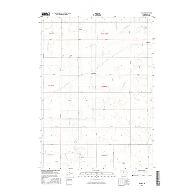
 2010 Holmes2010 Print · USGSCovers Clarion, including Florence, Holmes, and other nearby areas
 - 2010 Map of Clarion, 2010 Print
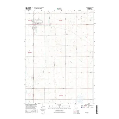
 2010 Clarion2010 Print · USGSCovers Clarion, including Wright County, United States, and other nearby areas
 - 2013 Map of Clarion, 2013 Print
 2013 Clarion2013 Print · USGSCovers Clarion, including Wright County, United States, and other nearby areas
 - 2013 Map of Holmes, 2013 Print
 2013 Holmes2013 Print · USGSCovers Clarion, including Florence, Holmes, and other nearby areas
 - 2015 Map of Clarion, 2015 Print
 2015 Clarion2015 Print · USGSCovers Clarion, including Wright County, United States, and other nearby areas
 - 2015 Map of Holmes, 2015 Print
 2015 Holmes2015 Print · USGSCovers Clarion, including Florence, Holmes, and other nearby areas
 - 2018 Map of Clarion, 2018 Print
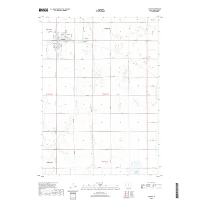 2018 Clarion2018 Print · USGSCovers Clarion, including Wright County, United States, and other nearby areas
 - 2018 Map of Holmes, 2018 Print
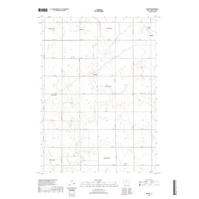 2018 Holmes2018 Print · USGSCovers Clarion, including Florence, Holmes, and other nearby areas
 - 2022 Map of Clarion, 2022 Print
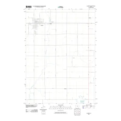
 2022 Clarion2022 Print · USGSClarion and its surrounding townships are shown here in the early twenty-first century as a highly organized landscape of agriculture and local government. Researchers can trace family plots at Evergreen Cem or locate the historic Wright County Courthouse within the city's precise grid.
 - 2022 Map of Holmes, 2022 Print
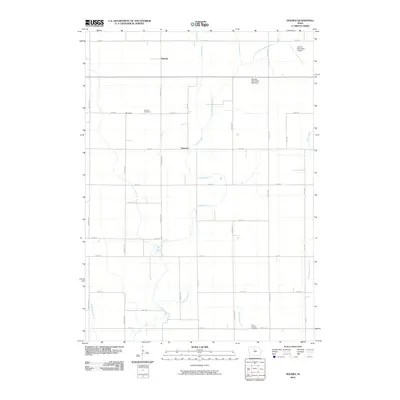
 2022 Holmes2022 Print · USGSWright County at the start of the 2020s shows a landscape of precision farming and rural quietude. Researchers can trace family ties at the Holmes Lutheran Cem and Saint Josephs Cem or locate the small crossroads of Holmes and Florence.
End of results
Showing maps 1-15 of 15
Top cities near Clarion
- Eagle Grove historical maps
- Belmond historical maps
- Kanawha historical maps
- Goldfield historical maps
- Dows historical maps
- Woolstock historical maps
See more
Frequently asked questions
- What are the different types of historical maps available for Clarion?
- What is the oldest map of Clarion?
- Where can I purchase historical maps of Clarion for my home or office?
- Where can I download high-res historical maps of Clarion?
- Are there historical topographic maps available for Clarion?
- Is there historical aerial imagery available for Clarion?
- Where are historical maps of Clarion sourced from?