Old Maps of Kapioma Township, Kansas for Genealogy
Trace your family roots with 40 historic maps of Kapioma Township. These high-res maps reveal old neighborhoods, homesites, landmarks, and streets — helping you uncover where your ancestors lived and how the area evolved over time.
- Explore historic neighborhoods: Identify where your relatives may have lived in the 1800s or 1900s.
- Compare maps over time: Trace the changes in streets, buildings, and landmarks for multi-generational research.
- Perfect for genealogy & ancestry research: Used by family historians and researchers to map out lineage and migration.
These maps are an incredible resource for exploring your personal connection to Kapioma Township's past.
Kapioma Township, KS maps
(40)- 1885 Map of Atchison, 1954 Print
 1885 Atchison1954 Print · USGSNortheast Kansas and the Missouri border appear here in the late nineteenth century as a bustling corridor of river commerce and rail expansion. Genealogists can trace family roots through early settlements like Highland, Troy, and Everest, or locate the bounds of the Iowa Indian Reservation.
 - 1886 Map of Oskaloosa, 1954 Print
 1886 Oskaloosa1954 Print · USGSEastern Kansas in the mid-1880s was a crossroads of major rail expansion and river commerce. Genealogists and historians can trace the early layouts of Oskaloosa and Valley Falls, or locate family sites near Jarbalo Mound and the Delaware River.
 - 1888 Map of Oskaloosa
 1888 Oskaloosa1888 Print · USGSNortheast Kansas in the late 1880s is captured here as a landscape defined by its river valleys and burgeoning rail towns. Researchers can trace the early footprints of Oskaloosa, Valley Falls, and Tonganoxie alongside the historic routes of the Union Pacific Railroad.
 - 1888 Map of Atchison
 1888 Atchison1888 Print · USGSThe Kansas-Missouri borderlands come alive in this late nineteenth-century record of a booming river and rail economy. Genealogists and historians can trace the early footprints of Atchison and Troy, or locate landmarks like the Iowa Indian Reservation and Sugar Lake.
 - 1888 Map of Hiawatha
 1888 Hiawatha1888 Print · USGSNortheast Kansas in the late 1880s was a bustling corridor of competing rail lines and established tribal lands. Researchers can trace the path of the Kansas Central Railroad and locate early settlements like Powhattan, Baker, and Wetmore.
 - 1889 Map of Topeka
 1889 Topeka1889 Print · USGSEastern Kansas in the late nineteenth century was a landscape of rapid rail expansion and tribal land boundaries. Genealogists can trace family roots through the Pottawatomie Indian Reservation or old settlements like Holton, Rossville, and Agency.
 - 1893 Map of Atchison
 1893 Atchison1893 Print · USGSNortheastern Kansas is captured here in the late nineteenth century as a bustling rail corridor along the Missouri River. Genealogists and historians can trace the early layout of the Iowa Indian Reservation and locate old trackside settlements like Severance and Effingham.5 unique versions available
 - 1894 Map of Oskaloosa
 1894 Oskaloosa1894 Print · USGSNortheast Kansas in the late nineteenth century was a landscape of burgeoning rail towns and river commerce. Genealogists can trace family roots through early settlements like Oskaloosa, Valley Falls, and Tonganoxie before modern highways reshaped the county.6 unique versions available
 - 1894 Map of Topeka
 1894 Topeka1894 Print · USGSTopeka and its northern reaches are captured here in the late nineteenth century, during a pivotal era of rail expansion and settlement. Local historians can trace the early layouts of Topeka and Silver Lake alongside the Pottawatomie Indian Reservation.5 unique versions available
 - 1894 Map of Hiawatha
 1894 Hiawatha1894 Print · USGSNortheastern Kansas was a bustling intersection of tribal lands and iron rails in the late nineteenth century. Genealogists and historians can trace the early development of Hiawatha, the boundaries of the Kickapoo Indian Reservation, and rail stops like Netawaka or Berwick.4 unique versions available
 - 1950 Map of Kansas City
 1950 Kansas City1950 Print · USGSMid-century Kansas and Missouri are captured here during a period of industrial growth and shifting transportation. Genealogists and historians can trace rail lines like the Wabash RR or locate ancestral homes near the Potawatomi Indian Reservation and Horton.
 - 1954 Map of Kansas City
 1954 Kansas City1954 Print · USGSThe Missouri-Kansas borderlands flourished in the post-war era as river commerce and rail networks converged at the Missouri River. Genealogists and historians can trace the foundations of Kansas City and smaller rural hubs like Hiawatha or Sabetha.
 - 1956 Map of Kansas City, 1967 Print
 1956 Kansas City1967 Print · USGSThe Kansas-Missouri border region thrived during the mid-fifties, centered on the growing metropolitan cores and the busy river valleys. Researchers can trace the layout of significant government sites like Fort Leavenworth and the Lake City Army Ammunition Plant.4 unique versions available
 - 1959 Map of Half Mound, 1961 Print
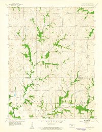 1959 Half Mound1961 Print · USGSThe rural borderlands of Atchison and Jefferson counties are captured here in the late fifties, showing a landscape of upland farms and river valleys. Researchers can trace the legacy of local families at Earnst Cem or locate former schoolhouses like Prairie View Sch and Nichols Sch.3 unique versions available
 - 1960 Map of Kansas City
 1960 Kansas City1960 Print · USGSMid-century Kansas and Missouri meet at the river forks, showing a sprawling rail-and-river economy during the 1950s growth era. Genealogists and researchers can trace tribal lands like the Kickapoo Indian Reservation or follow the early interstate corridors through Saint Joseph and Independence.3 unique versions available
 - 1960 Map of Arrington, 1961 Print
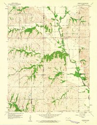 1960 Arrington1961 Print · USGSNortheast Kansas in the early sixties reveals a landscape of rural crossroads and winding river valleys where three counties meet. Genealogists and local historians can trace family sites at Larkinburg Cem, the settlement of Nebo, and the small Landing Field near Arrington.3 unique versions available
 - 1961 Map of Whiting, 1962 Print
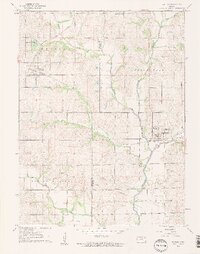 1961 Whiting1962 Print · USGSWhiting and Muscotah appear here in the early sixties as vibrant rail hubs defined by the crossing of the Missouri Pacific and Rock Island lines. Researchers can trace the heritage of local school districts and townships via Rose Hill Sch, Estes Cem, and the path of the Old Indian Boundary.2 unique versions available
 - 1961 Map of Effingham, 1962 Print
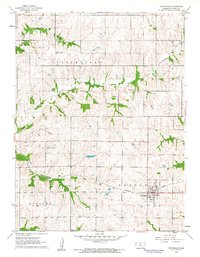 1961 Effingham1962 Print · USGSKansas farm country in the early sixties centers on the railroad hub of Effingham, where the Missouri Pacific tracks meet the local rural road grid. Researchers can trace ancestral locations through several country schoolhouses and cemeteries like Brush Creek Cem and School No 60.2 unique versions available
 - 1985 Map of Atchison
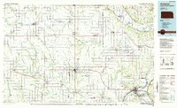 1985 Atchison1985 Print · USGSNortheast Kansas at the mid-eighties shows a landscape of river-bend towns and expansive tribal lands during a period of steady agricultural and rail activity. Local researchers can locate family sites at Mt Hope Cemetery, trace the grounds of Highland College, or explore the limits of the Kickapoo Indian Reservation.
 - 1990 Map of Atchison
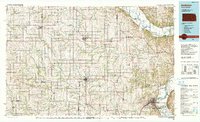 1990 Atchison1990 Print · USGSNortheast Kansas and northwest Missouri meet at the winding Missouri River in this late twentieth-century record of a historic border region. Researchers can trace the paths of the Pony Express Trail and the Atchison Topeka and Santa Fe Railway while locating landmarks like St Benedicts College and Mount Vernon Cem.
 - 2009 Map of Effingham, 2009 Print
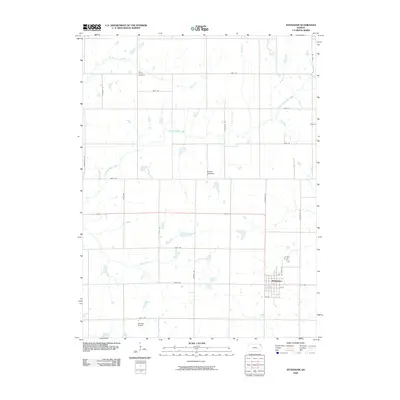 2009 Effingham2009 Print · USGSEffingham and the surrounding Atchison County prairie are captured here in the early twenty-first century. Genealogists and local historians can locate Brush Creek Cemetery, the small community of Helena, and aviation landmarks like Strafuss Airport.
 - 2009 Map of Arrington, 2009 Print
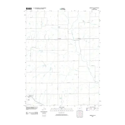 2009 Arrington2009 Print · USGSArrington and Larkinburg sit at the confluence of several prairie waterways during the early twenty-first century. Researchers can trace family history at Miller Cemetery or Larkinburg Cemetery while following the path of the Delaware River.
 - 2009 Map of Whiting, 2009 Print
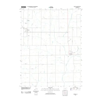 2009 Whiting2009 Print · USGSJackson County agricultural life is documented here in the early twenty-first century, showing the established townsites and rural road networks. Researchers can locate family sites near Spring Hill Cemetery or trace the winding course of the Delaware River and Grasshopper Creek.
 - 2009 Map of Half Mound, 2009 Print
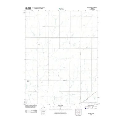 2009 Half Mound2009 Print · USGSNortheastern Kansas farmland is mapped here in the early twenty-first century as it appeared before further modern development. Genealogists and local historians can trace family ties at Earnst Cemetery and Neill Cemetery or follow the banks of the Delaware River.
 - 2012 Map of Effingham, 2012 Print
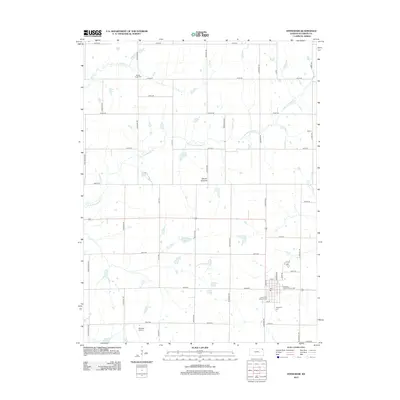 2012 Effingham2012 Print · USGSEffingham and the surrounding Atchison County countryside appear in this survey as a classic Kansas agricultural landscape at the start of the 2010s. Genealogists and local historians can trace family locations near Saint Anns Catholic Cem, Brush Creek Cem, or the Atchison County Fairgrounds.
Showing maps 1-25 of 40
Top cities near Kapioma Township
- Holton historical maps
- Horton historical maps
- Valley Falls historical maps
- Hoyt historical maps
- Nortonville historical maps
- Effingham historical maps
See more
Top neighborhoods of Kapioma Township
Frequently asked questions
- What are the different types of historical maps available for Kapioma Township?
- What is the oldest map of Kapioma Township?
- Where can I purchase historical maps of Kapioma Township for my home or office?
- Where can I download high-res historical maps of Kapioma Township?
- Are there historical topographic maps available for Kapioma Township?
- Is there historical aerial imagery available for Kapioma Township?
- Where are historical maps of Kapioma Township sourced from?