2000s (21st Century) Maps of Mount Pleasant Township, Kansas
Explore 20 historic maps of Mount Pleasant Township from the 2000s (21st Century). These maps offer a rare glimpse into what life looked like during the 2000s — showing old roads, neighborhoods, homes, and landmarks that have changed or disappeared over time.
Whether you're researching your family's past, planning a metal detecting trip, or studying how Mount Pleasant Township's landscape evolved across the 2000s, these high-resolution maps are a powerful tool for exploring the history of this region.
- Focus on a specific era: All maps on this page are from the 2000s, giving you a focused view of this time period.
- See what’s changed: Compare century-old streets, trails, and buildings to today's modern landscape using overlays and satellite layers.
- Research with precision: Use these maps for genealogy, historical research, land use analysis, or educational projects.
- View, download, or print: Maps are fully viewable online in high resolution, and can be downloaded or printed for your own records.
Start exploring Mount Pleasant Township's history through authentic maps from the 2000s. This is your window into the past.
Mount Pleasant Township, KS maps
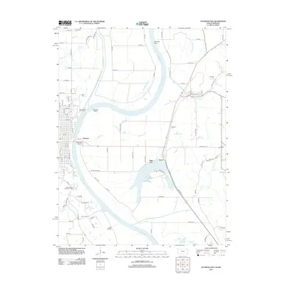
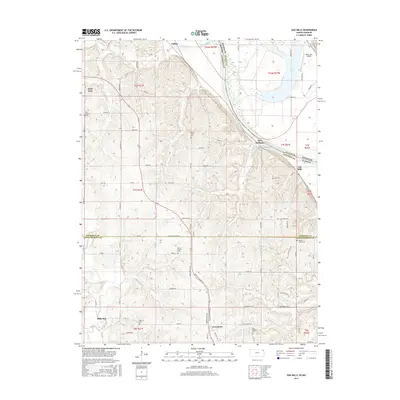
(20)- 2009 Map of Atchison East, 2009 Print
 2009 Atchison East2009 Print · USGSCovers Mount Pleasant Township, including Atchison, Rushville, and other nearby areas
 - 2009 Map of Oak Mills, 2009 Print
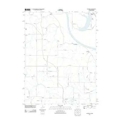
 2009 Oak Mills2009 Print · USGSCovers Mount Pleasant Township, including Millwood, Walnut Township, and other nearby areas
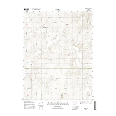
 - 2009 Map of Potter, 2009 Print
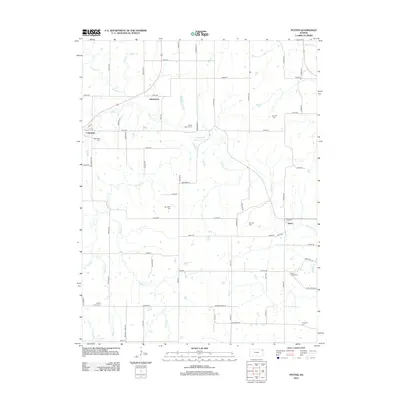
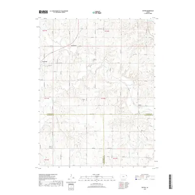
 2009 Potter2009 Print · USGSCovers Mount Pleasant Township, including Cummings, Center Township, and other nearby areas
 - 2009 Map of Atchison West, 2009 Print
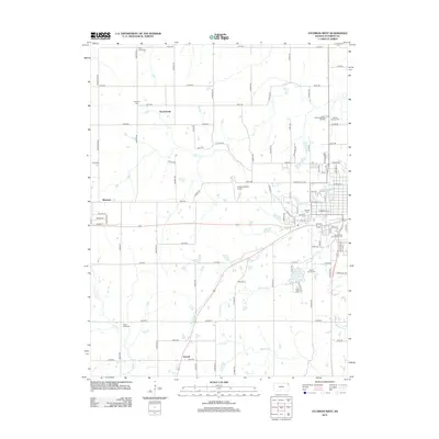
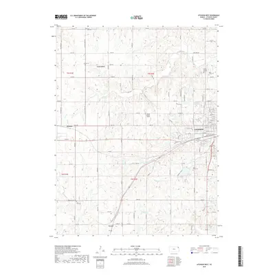
 2009 Atchison West2009 Print · USGSCovers Mount Pleasant Township, including Atchison, Shannon, and other nearby areas
 - 2012 Map of Potter, 2012 Print
 2012 Potter2012 Print · USGSCovers Mount Pleasant Township, including Cummings, Center Township, and other nearby areas
 - 2012 Map of Atchison East, 2012 Print
 2012 Atchison East2012 Print · USGSCovers Mount Pleasant Township, including Atchison, Rushville, and other nearby areas
 - 2012 Map of Atchison West, 2012 Print
 2012 Atchison West2012 Print · USGSCovers Mount Pleasant Township, including Atchison, Shannon, and other nearby areas
 - 2012 Map of Oak Mills, 2012 Print
 2012 Oak Mills2012 Print · USGSCovers Mount Pleasant Township, including Millwood, Walnut Township, and other nearby areas
 - 2015 Map of Oak Mills, 2015 Print
 2015 Oak Mills2015 Print · USGSCovers Mount Pleasant Township, including Millwood, Walnut Township, and other nearby areas
 - 2015 Map of Potter, 2015 Print
 2015 Potter2015 Print · USGSCovers Mount Pleasant Township, including Cummings, Center Township, and other nearby areas
 - 2016 Map of Atchison West, 2016 Print
 2016 Atchison West2016 Print · USGSCovers Mount Pleasant Township, including Atchison, Shannon, and other nearby areas
 - 2016 Map of Atchison East, 2016 Print
 2016 Atchison East2016 Print · USGSCovers Mount Pleasant Township, including Atchison, Rushville, and other nearby areas
 - 2018 Map of Potter, 2018 Print
 2018 Potter2018 Print · USGSCovers Mount Pleasant Township, including Cummings, Center Township, and other nearby areas
 - 2018 Map of Atchison West, 2018 Print
 2018 Atchison West2018 Print · USGSCovers Mount Pleasant Township, including Atchison, Shannon, and other nearby areas
 - 2018 Map of Atchison East, 2018 Print
 2018 Atchison East2018 Print · USGSCovers Mount Pleasant Township, including Atchison, Rushville, and other nearby areas
 - 2018 Map of Oak Mills, 2018 Print
 2018 Oak Mills2018 Print · USGSCovers Mount Pleasant Township, including Millwood, Walnut Township, and other nearby areas
 - 2022 Map of Potter, 2022 Print
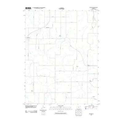
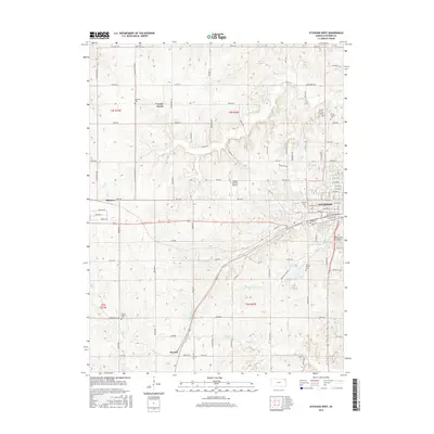
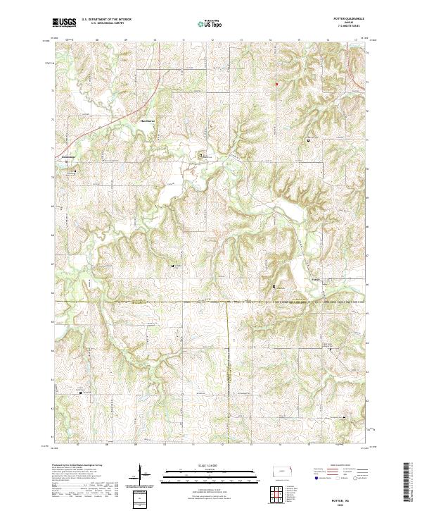 2022 Potter2022 Print · USGSThe tri-county border of Atchison, Jefferson, and Leavenworth Counties is captured in this recent survey of rural Kansas. Local history and family roots are preserved in numerous sites like Saint Johns Lutheran Cem, Cummings District Cem, and the settlement of Potter.
 - 2022 Map of Atchison East, 2022 Print
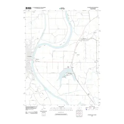
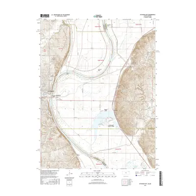
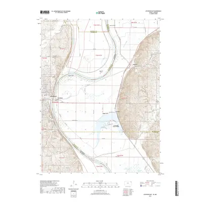
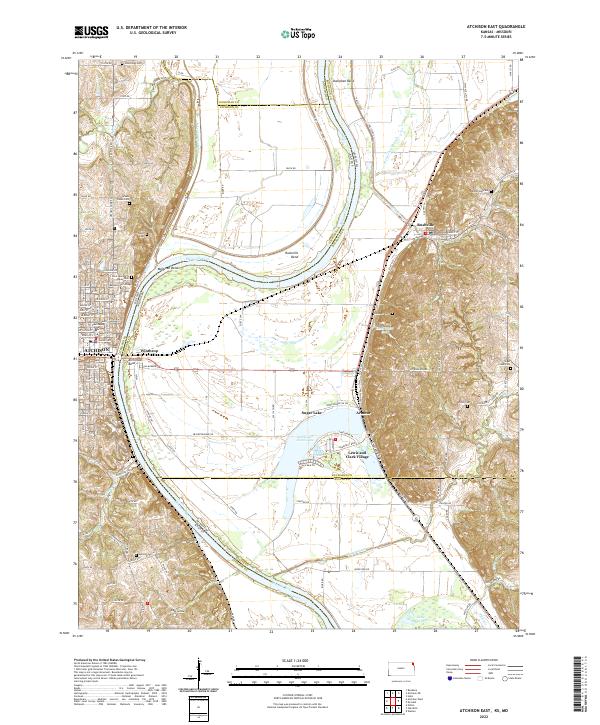 2022 Atchison East2022 Print · USGSThe Missouri River borderlands near the start of the twenty-first century reveal a landscape of river-town history and oxbow wetlands. Genealogists and local historians can trace family sites at Saint Benedicts Abbey Cem or explore the streets of Winthrop and Rushville.
 - 2022 Map of Atchison West, 2022 Print
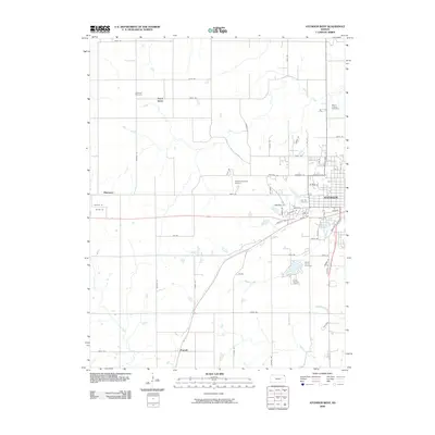
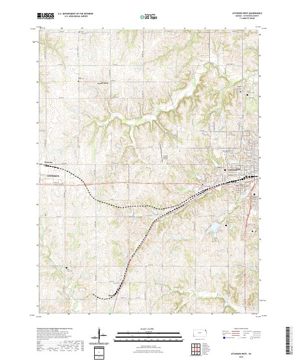 2022 Atchison West2022 Print · USGSAtchison and its western Kansas environs are documented here in the early twenty-first century as the city meets the prairie. Genealogists can trace numerous local burial grounds like Saint Louis Cem and Mount Vernon Cem, or locate landmarks such as Amelia Earhart Airport.
 - 2022 Map of Oak Mills, 2022 Print
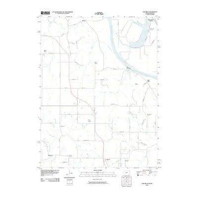
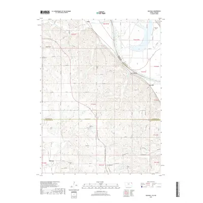
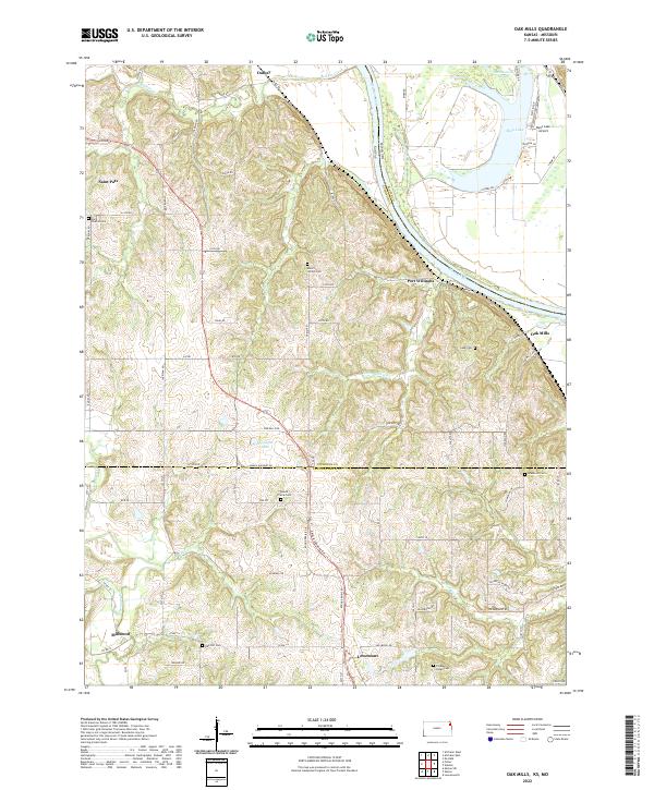 2022 Oak Mills2022 Print · USGSSettlement along the Kansas-Missouri border is captured here in the early twenty-first century, showing the rural communities between the river and the prairie. Genealogists can trace family landmarks like Saint Patrick Cem, Oak Hill Cem, and the village of Lowemont.
End of results
Showing maps 1-20 of 20
Top cities near Mount Pleasant Township
- Leavenworth historical maps
- Lansing historical maps
- Atchison historical maps
- Kickapoo historical maps
- Shannon historical maps
- Nortonville historical maps
See more
Top neighborhoods of Mount Pleasant Township
Frequently asked questions
- What are the different types of historical maps available for Mount Pleasant Township?
- What is the oldest map of Mount Pleasant Township?
- Where can I purchase historical maps of Mount Pleasant Township for my home or office?
- Where can I download high-res historical maps of Mount Pleasant Township?
- Are there historical topographic maps available for Mount Pleasant Township?
- Is there historical aerial imagery available for Mount Pleasant Township?
- Where are historical maps of Mount Pleasant Township sourced from?