Old Maps of Shannon Township, Kansas for Academic Research
Study the evolution of Shannon Township with 37 high-resolution historic maps. Whether you're teaching, researching, or modeling changes in land use, these maps provide essential visual documentation of urban, environmental, and geographic change.
- Analyze long-term change: Track patterns in development, transportation, and natural features.
- Ideal for environmental or urban studies: Support academic projects with primary historical map data.
- Use in the classroom or lab: Educators and researchers rely on these maps to bring historical context to life.
These maps are a powerful tool for teaching, research, and visualizing how Shannon Township has changed over the decades.
Shannon Township, KS maps
(37)- 1885 Map of Atchison, 1954 Print
 1885 Atchison1954 Print · USGSNortheast Kansas and the Missouri border appear here in the late nineteenth century as a bustling corridor of river commerce and rail expansion. Genealogists can trace family roots through early settlements like Highland, Troy, and Everest, or locate the bounds of the Iowa Indian Reservation.
 - 1888 Map of Atchison
 1888 Atchison1888 Print · USGSThe Kansas-Missouri borderlands come alive in this late nineteenth-century record of a booming river and rail economy. Genealogists and historians can trace the early footprints of Atchison and Troy, or locate landmarks like the Iowa Indian Reservation and Sugar Lake.
 - 1893 Map of Atchison
 1893 Atchison1893 Print · USGSNortheastern Kansas is captured here in the late nineteenth century as a bustling rail corridor along the Missouri River. Genealogists and historians can trace the early layout of the Iowa Indian Reservation and locate old trackside settlements like Severance and Effingham.5 unique versions available
 - 1926 Map of Atchison
 1926 Atchison1926 Print · USGSThe Missouri River floodplain comes to life in this mid-century survey of the Kansas-Missouri borderlands. Genealogists and local historians can trace the positions of old schoolhouses like Fairview School and Enterprise School, and the busy rail activity at East Atchison Winthrop Sta.5 unique versions available
 - 1950 Map of Kansas City
 1950 Kansas City1950 Print · USGSMid-century Kansas and Missouri are captured here during a period of industrial growth and shifting transportation. Genealogists and historians can trace rail lines like the Wabash RR or locate ancestral homes near the Potawatomi Indian Reservation and Horton.
 - 1951 Map of Rushville
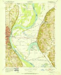 1951 Rushville1951 Print · USGSThe Missouri River floodplain near Atchison and Rushville is shown here in the early fifties, highlighting a landscape shaped by massive river bends and rail lines. Genealogists can trace family names at Armstrong Cem and locate rural landmarks like Pleasant Valley School or the State Orphan Home.2 unique versions available
 - 1954 Map of Kansas City
 1954 Kansas City1954 Print · USGSThe Missouri-Kansas borderlands flourished in the post-war era as river commerce and rail networks converged at the Missouri River. Genealogists and historians can trace the foundations of Kansas City and smaller rural hubs like Hiawatha or Sabetha.
 - 1956 Map of Kansas City, 1967 Print
 1956 Kansas City1967 Print · USGSThe Kansas-Missouri border region thrived during the mid-fifties, centered on the growing metropolitan cores and the busy river valleys. Researchers can trace the layout of significant government sites like Fort Leavenworth and the Lake City Army Ammunition Plant.4 unique versions available
 - 1959 Map of Bendena, 1960 Print
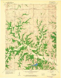 1959 Bendena1960 Print · USGSDoniphan and Atchison counties in the late fifties remained a rural landscape defined by township lines and the east-west rail corridor. Researchers can trace family roots through numerous local sites including Bitner Cem, St Benedict Ch, and Independence Valley Sch.2 unique versions available
 - 1959 Map of Atchison West, 1960 Print
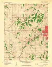 1959 Atchison West1960 Print · USGSAtchison transitioned into a modern hub during the late fifties as rail lines and aviation began to meet expanding suburbs. Genealogists can trace rural roots through numerous country schools like Good Intent Sch and old burial sites including Alderson Cem and Mt Vernon Cemetery.2 unique versions available
 - 1959 Map of Atchison NE, 1960 Print
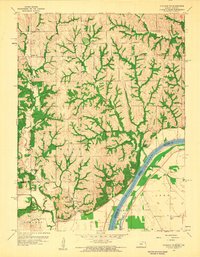 1959 Atchison NE1960 Print · USGSDoniphan County in the late fifties shows a rural landscape of ridges and river bottoms along the Missouri River. Researchers can trace the heritage of local communities through landmarks like Doniphan, St Johns Ch, and schools such as Randolph Sch.2 unique versions available
 - 1960 Map of Kansas City
 1960 Kansas City1960 Print · USGSMid-century Kansas and Missouri meet at the river forks, showing a sprawling rail-and-river economy during the 1950s growth era. Genealogists and researchers can trace tribal lands like the Kickapoo Indian Reservation or follow the early interstate corridors through Saint Joseph and Independence.3 unique versions available
 - 1960 Map of Atchison, 1961 Print
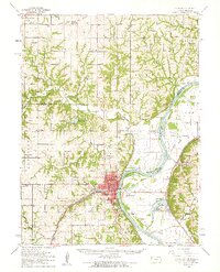 1960 Atchison1961 Print · USGSAtchison thrived as a Missouri River rail and education hub at the dawn of the sixties. Genealogists can trace family roots through numerous rural landmarks like Shannon Hill Sch, Mt Calvary Cem, and the riverfront settlement of Winthrop.2 unique versions available
 - 1960 Map of Atchison East, 1961 Print
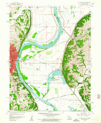 1960 Atchison East1961 Print · USGSThe Missouri River floodplain comes to life in the early 1960s, showing the intricate relationship between the river, rail lines, and border settlements. Genealogists and local historians can trace landmarks like St Benedicts College, Sugar Lake, and the vanished site of the Drive-in Theater.3 unique versions available
 - 1984 Map of Atchison East
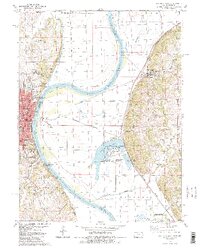 1984 Atchison East1984 Print · USGSThe Missouri River borderlands near Atchison show a mid-1980s landscape of river-bend settlements and agricultural bluffs. Genealogists can locate family names at Sumner Cem and Taylor Cem or trace the early campuses of Benedictine College.2 unique versions available
 - 1985 Map of Atchison
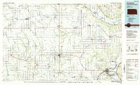 1985 Atchison1985 Print · USGSNortheast Kansas at the mid-eighties shows a landscape of river-bend towns and expansive tribal lands during a period of steady agricultural and rail activity. Local researchers can locate family sites at Mt Hope Cemetery, trace the grounds of Highland College, or explore the limits of the Kickapoo Indian Reservation.
 - 1990 Map of Atchison
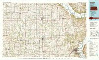 1990 Atchison1990 Print · USGSNortheast Kansas and northwest Missouri meet at the winding Missouri River in this late twentieth-century record of a historic border region. Researchers can trace the paths of the Pony Express Trail and the Atchison Topeka and Santa Fe Railway while locating landmarks like St Benedicts College and Mount Vernon Cem.
 - 2009 Map of Atchison East, 2009 Print
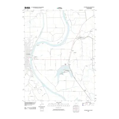 2009 Atchison East2009 Print · USGSThe riverfront around Atchison and Winthrop is captured here during the first decade of the 2000s, showing a landscape defined by the loops of the Missouri. Family historians can trace local sites like Hudseph Cemetery or the uniquely named Dead Mans Hole Dam.
 - 2009 Map of Atchison NE, 2009 Print
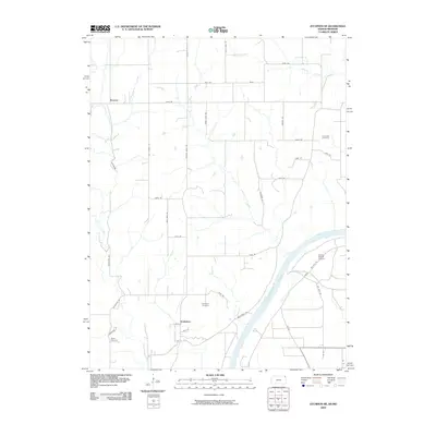 2009 Atchison NE2009 Print · USGSDoniphan County at the turn of the 21st century remains a landscape of high prairie ridges and deep river valleys. Researchers can trace rural lineages through the Doniphan and Rosendale cemeteries or locate landmarks like Brenner and Booze Island Airport.
 - 2009 Map of Atchison West, 2009 Print
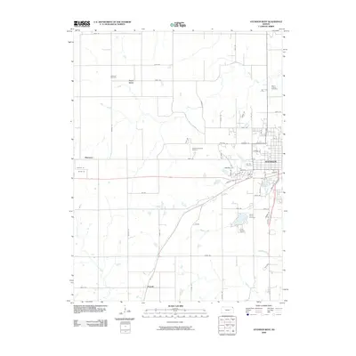 2009 Atchison West2009 Print · USGSAtchison and its western outskirts are captured here during the first decade of the millennium. Researchers can trace family history at Oak Hill Cemetery or locate smaller rural points like Good Intent and the Amelia Earhart Airport.
 - 2009 Map of Bendena, 2009 Print
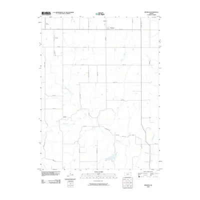 2009 Bendena2009 Print · USGSShannon Township and the community of Bendena are captured in the early twenty-first century as a landscape of grid-line farms and winding prairie creeks. Genealogists can locate specific burial sites like Victory Cemetery or Robertson Cemetery and trace family-named routes such as St Benedicts Rd.
 - 2012 Map of Bendena, 2012 Print
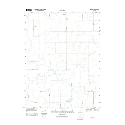 2012 Bendena2012 Print · USGSThe rural landscape of Northeast Kansas is captured here just over a decade ago, showcasing the enduring settlement patterns of Doniphan County. Researchers can pinpoint historic burial sites such as Vickery Family Cem and Bitner Cem, or trace the winding course of Cold Ryan Br.
 - 2012 Map of Atchison East, 2012 Print
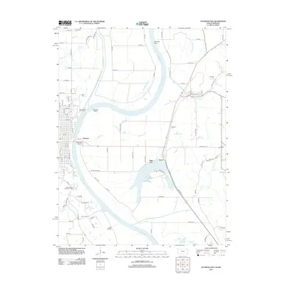 2012 Atchison East2012 Print · USGSThe Missouri-Kansas borderlands come alive in this 2010s survey, showing the intricate oxbows and bottomlands of the Missouri River valley. Researchers can pinpoint historic family plots like Armstrong Cem and Gore Cem or trace the early settlement footprints of Winthrop and Armour.
 - 2012 Map of Atchison NE, 2012 Print
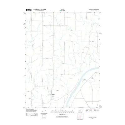 2012 Atchison NE2012 Print · USGSThe riverfront and uplands of Atchison County are documented here in the early twenty-first century, showing the enduring rural layout of northeastern Kansas. Genealogists and local historians can locate family burial sites like Doniphan Cem and Myers Cem or trace the course of the Missouri River near Booze Island.
 - 2012 Map of Atchison West, 2012 Print
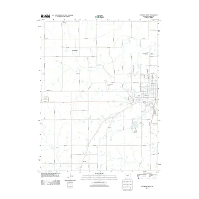 2012 Atchison West2012 Print · USGSAtchison County in the early twenty-first century reveals a landscape of enduring rural settlements and significant local heritage sites. Genealogists can trace family histories across numerous burial grounds including Saint Louis Cem and Mount Vernon Cem, or locate the rural crossroads of Good Intent.
Showing maps 1-25 of 37
Top cities near Shannon Township
- Leavenworth historical maps
- Atchison historical maps
- Kickapoo historical maps
- Shannon historical maps
- Wathena historical maps
- Elwood historical maps
See more
Top neighborhoods of Shannon Township
Frequently asked questions
- What are the different types of historical maps available for Shannon Township?
- What is the oldest map of Shannon Township?
- Where can I purchase historical maps of Shannon Township for my home or office?
- Where can I download high-res historical maps of Shannon Township?
- Are there historical topographic maps available for Shannon Township?
- Is there historical aerial imagery available for Shannon Township?
- Where are historical maps of Shannon Township sourced from?