Old Maps of Towanda, Kansas for Academic Research
Study the evolution of Towanda with 21 high-resolution historic maps. Whether you're teaching, researching, or modeling changes in land use, these maps provide essential visual documentation of urban, environmental, and geographic change.
- Analyze long-term change: Track patterns in development, transportation, and natural features.
- Ideal for environmental or urban studies: Support academic projects with primary historical map data.
- Use in the classroom or lab: Educators and researchers rely on these maps to bring historical context to life.
These maps are a powerful tool for teaching, research, and visualizing how Towanda has changed over the decades.
Towanda, KS maps
(21)- 1888 Map of Eldorado
 1888 Eldorado1888 Print · USGSButler County in the late 1880s is defined by a rapidly expanding rail network centered on El Dorado and Augusta. Genealogists and historians can trace early prairie settlements and vanished railroad stops like Schonholm, Keighley, and Haverhill.6 unique versions available
 - 1889 Map of Wichita
 1889 Wichita1889 Print · USGSWichita and its surrounding townships thrived as a rail-driven boomtown in the late nineteenth century. Genealogists can trace family footprints through early settlements like Oatville, Valley Center, and Douglass along the Arkansas River.
 - 1894 Map of Wichita
 1894 Wichita1894 Print · USGSWichita and the surrounding prairie are captured here during the height of the Victorian era's railroad boom. Genealogists and historians can trace the early development of Wichita and find vanished stations and rural townships like Indianola, Oatville, and Green Station.5 unique versions available
 - 1955 Map of Benton, 1956 Print
 1955 Benton1956 Print · USGSButler County, Kansas, is captured mid-century as its traditional rail-centered towns met the new petroleum and turnpike era. Trace the path of the Missouri Pacific and find ancestral sites like Old Benton Cem and the Old Indian Boundary.3 unique versions available
 - 1955 Map of Wichita, 1959 Print
 1955 Wichita1959 Print · USGSSouth-central Kansas comes alive in the mid-1950s as Wichita grows into its role as a regional industrial and military powerhouse. Trace the rail-and-river network connecting El Dorado and Arkansas City through the Atchison Topeka and Santa Fe lines.3 unique versions available
 - 1958 Map of Wichita
 1958 Wichita1958 Print · USGSSouth Central Kansas in the late fifties was a landscape of aviation industry, oil exploration, and expanding turnpikes. Researchers can trace mid-century growth through McConnell Air Force Base, major facilities for Cessna Aircraft Company, and the active El Dorado Oil Field.
 - 1961 Map of El Dorado SW, 1963 Print
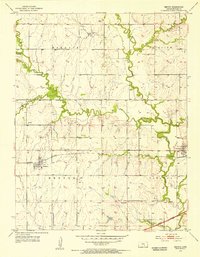
 1961 El Dorado SW1963 Print · USGSButler County witnessed a mid-century industrial boom centered around petroleum and the new turnpike. Trace the layout of oil-company towns like Midian and Oil Hill, locate the Oil Hill Sch, and follow the path of the Old Indian Boundary.2 unique versions available
 - 1985 Map of El Dorado
 1985 El Dorado1985 Print · USGSThe Flint Hills region of Kansas was a hub of energy and rail transit in the mid-eighties, anchored by the expansion of El Dorado Lake. Researchers can trace the Indian Treaty Boundary and locate small communities like Sallyards, Pickrell Corner, and Oil Hill.
 - 1985 Map of Wichita
 1985 Wichita1985 Print · USGSThe mid-1980s landscape of the Wichita metro area is captured here during a peak era for the local aviation industry. Researchers can trace the sprawling rail network of the Santa Fe and Frisco or locate family landmarks at White Chapel Cem and Cheney Reservoir.
 - 1990 Map of El Dorado
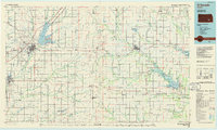
 1990 El Dorado1990 Print · USGSButler and Greenwood counties are shown here in the early nineties, featuring a landscape defined by the Walnut River basin and the Kansas Turnpike corridor. Researchers can trace the rail lines of the AT & SF RR and locate smaller settlements such as Midian, Smileyberg, and Pickrell Corner.
 - 1990 Map of Wichita
 1990 Wichita1990 Print · USGSThe Wichita metropolitan area and its surrounding agricultural plains are captured in the late twentieth century, showing a landscape defined by rapid suburban expansion and massive water projects. Genealogists can locate family landmarks in small towns like Garden Plain and Clonmel, or trace the development around Cheney Reservoir and McConnell Air Force Base.
 - 2010 Map of El Dorado SW, 2010 Print
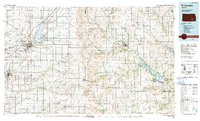
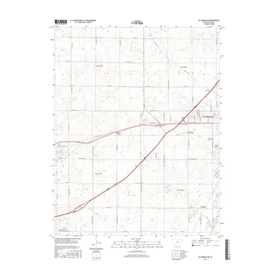
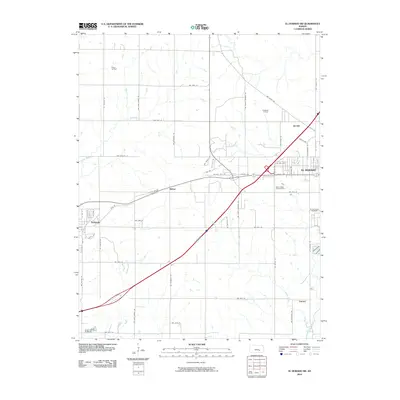 2010 El Dorado SW2010 Print · USGSCovers Towanda, including El Dorado, Midian, and other nearby areas
 - 2010 Map of Benton, 2010 Print
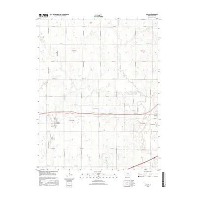
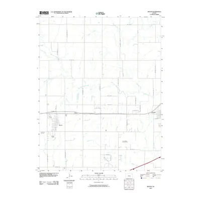 2010 Benton2010 Print · USGSCovers Towanda, including Benton, Butler County, and other nearby areas
 - 2012 Map of El Dorado SW, 2012 Print
 2012 El Dorado SW2012 Print · USGSCovers Towanda, including El Dorado, Midian, and other nearby areas
 - 2012 Map of Benton, 2012 Print
 2012 Benton2012 Print · USGSCovers Towanda, including Benton, Butler County, and other nearby areas
 - 2015 Map of El Dorado SW, 2015 Print
 2015 El Dorado SW2015 Print · USGSCovers Towanda, including El Dorado, Midian, and other nearby areas
 - 2015 Map of Benton, 2015 Print
 2015 Benton2015 Print · USGSCovers Towanda, including Benton, Butler County, and other nearby areas
 - 2018 Map of El Dorado SW, 2018 Print
 2018 El Dorado SW2018 Print · USGSCovers Towanda, including El Dorado, Midian, and other nearby areas
 - 2018 Map of Benton, 2018 Print
 2018 Benton2018 Print · USGSCovers Towanda, including Benton, Butler County, and other nearby areas
 - 2022 Map of El Dorado SW, 2022 Print
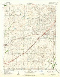
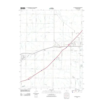
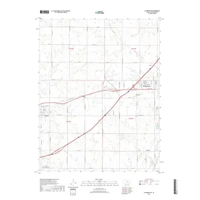
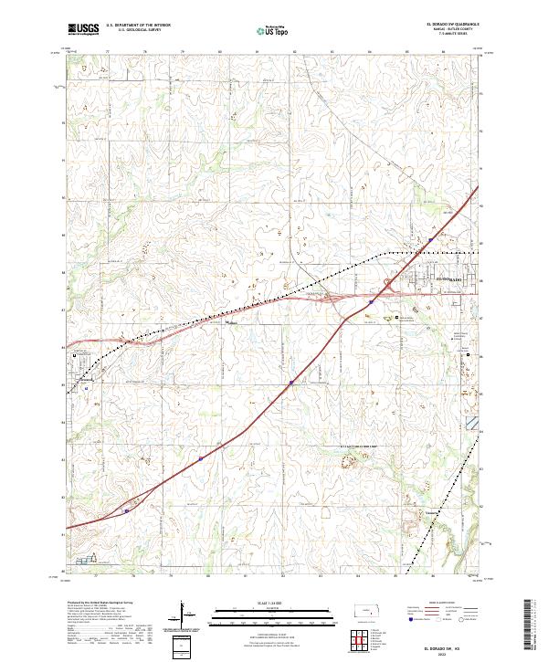 2022 El Dorado SW2022 Print · USGSButler County, Kansas, is shown in the modern era as a landscape defined by prairie creeks and growing suburban centers. Researchers can trace local history through the proximity of Midian and Oil Hill or find family sites at Towanda Cem and Sunset Lawns Cem.
 - 2022 Map of Benton, 2022 Print
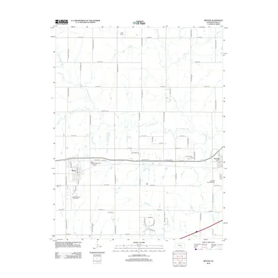
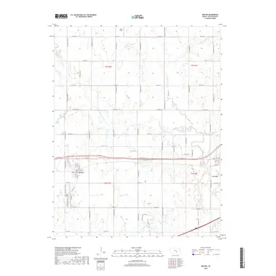
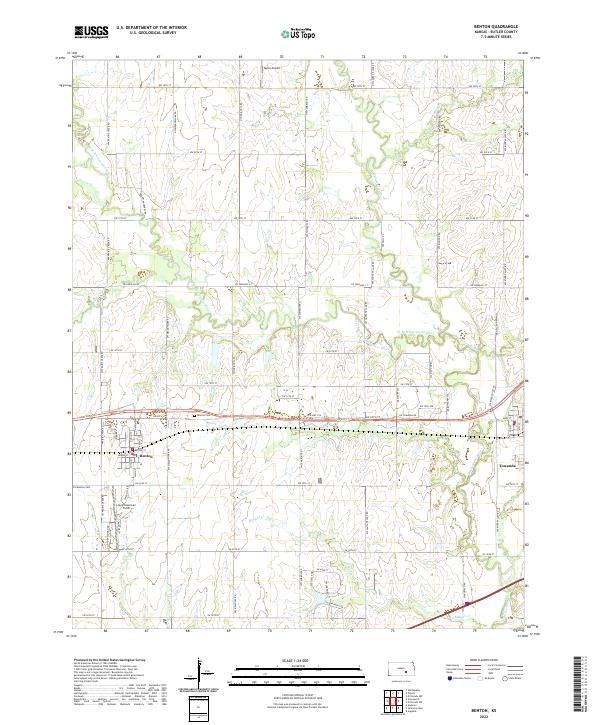 2022 Benton2022 Print · USGSBenton and the surrounding Butler County prairie are captured in this modern survey, showing the town's evolution alongside its rural section lines. Researchers can locate Benton Cem, Old Benton Cem, and aviation landmarks like Lloyd Stearman Field.
End of results
Showing maps 1-21 of 21
Top cities near Towanda
- Wichita historical maps
- Derby historical maps
- El Dorado historical maps
- Andover historical maps
- Augusta historical maps
- Bel Aire historical maps
See more
Frequently asked questions
- What are the different types of historical maps available for Towanda?
- What is the oldest map of Towanda?
- Where can I purchase historical maps of Towanda for my home or office?
- Where can I download high-res historical maps of Towanda?
- Are there historical topographic maps available for Towanda?
- Is there historical aerial imagery available for Towanda?
- Where are historical maps of Towanda sourced from?