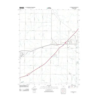
2012 Map of El Dorado SW
USGS Topo · Published 2012About this map
Pierce Oil Field and the El Dorado Oil Field dominate the northern landscape of this Butler County region, reflecting the enduring legacy of the Mid-Continent oil fields. The terrain is crisscrossed by a network of rural roads such as NW Ohio Street Rd and SW Shumway Rd, which link the primary settlements of Towanda and Midian. These communities grew alongside the energy industry, with Midian in particular serving as a focal point for oil production operations.
Find a feature on this map
76 named features on this map. Tap any name to fly to it.
Don’t see what you’re looking for? This feature index may not catch every label — zoom into the map to look around manually.
Map Details
Editions of this 2012 El Dorado SW Map
This is the sole edition of this map. No revisions or reprints were ever made.
Other maps of this area

1888 · Eldorado
USGS Topo · 1:125,000

1889 · Wichita
USGS Topo · 1:125,000

1894 · Wichita
USGS Topo · 1:125,000

1955 · Santa Fe Lake
USGS Topo · 1:24,000

1955 · Benton
USGS Topo · 1:24,000

1955 · Wichita
USGS Topo · 1:250,000

1958 · Wichita
USGS Topo · 1:250,000

1961 · Augusta
USGS Topo · 1:24,000

1961 · De Graff
USGS Topo · 1:24,000

1961 · El Dorado NW
USGS Topo · 1:24,000