Old Maps of Englewood, Kansas for Genealogy
Trace your family roots with 10 historic maps of Englewood. These high-res maps reveal old neighborhoods, homesites, landmarks, and streets — helping you uncover where your ancestors lived and how the area evolved over time.
- Explore historic neighborhoods: Identify where your relatives may have lived in the 1800s or 1900s.
- Compare maps over time: Trace the changes in streets, buildings, and landmarks for multi-generational research.
- Perfect for genealogy & ancestry research: Used by family historians and researchers to map out lineage and migration.
These maps are an incredible resource for exploring your personal connection to Englewood's past.
Englewood, KS maps
(10)- 1896 Map of Ashland
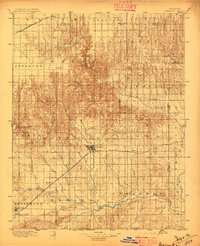 1896 Ashland1896 Print · USGSClark County at the close of the nineteenth century was a landscape of expanding railroads and emerging cattle-towns. Genealogists and researchers can trace the early footprints of Ashland, locate the remote Jacobs Well, and follow the original routes of the Atchison Topeka and Santa Fe R. R.3 unique versions available
 - 1955 Map of Pratt, 1968 Print
 1955 Pratt1968 Print · USGSSouth-central Kansas during the mid-fifties presents a landscape of sprawling oil fields and critical rail junctions. Researchers can trace the paths of the Atchison Topeka and Santa Fe railroad or locate local landmarks like the Blue Ridge Community House and Camp Carlisle.3 unique versions available
 - 1959 Map of Pratt
 1959 Pratt1959 Print · USGSSouth-central Kansas thrived as a rail and agricultural hub in the late fifties, where the Arkansas River meets a vast grid of section roads. Researchers can trace the path of the Missouri Pacific railroad through settlements like Turon and Stafford, or locate family landmarks like the Prairie Oak School.2 unique versions available
 - 1972 Map of Englewood, 1974 Print
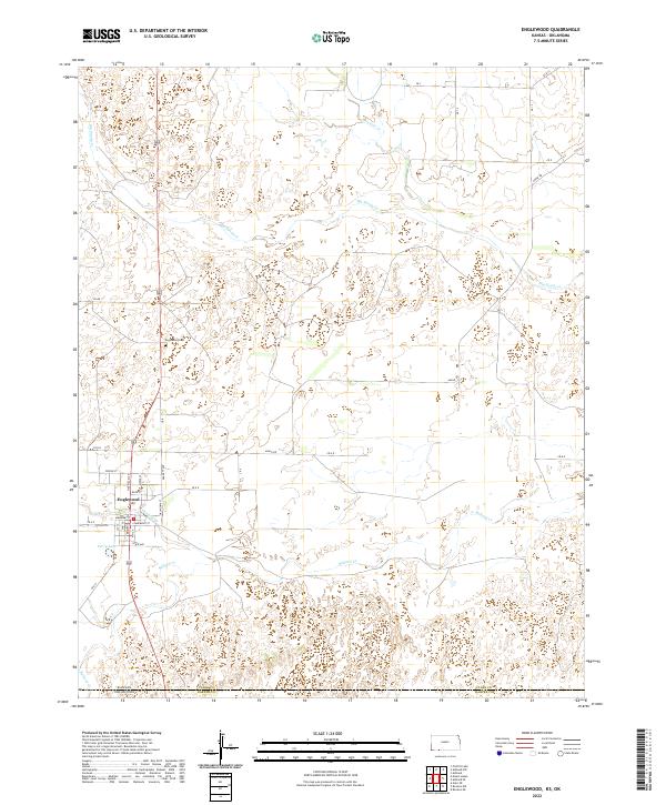
 1972 Englewood1974 Print · USGSEnglewood and the surrounding plains of Clark County are captured here in the early 1970s, just north of the Oklahoma border. Genealogists and historians can trace the Atchison Topeka and Santa Fe rail line and locate the Old Indian Treaty Boundary.
 - 1985 Map of Protection
 1985 Protection1985 Print · USGSThe Kansas-Oklahoma borderlands in the 1980s are defined by agricultural settlements and historical survey lines. Genealogists and historians can trace the Old Indian Treaty Boundary and locate family names near Crown Hill Cem or the town of Protection.2 unique versions available
 - 2010 Map of Englewood, 2010 Print
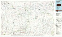
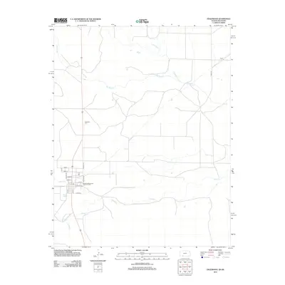
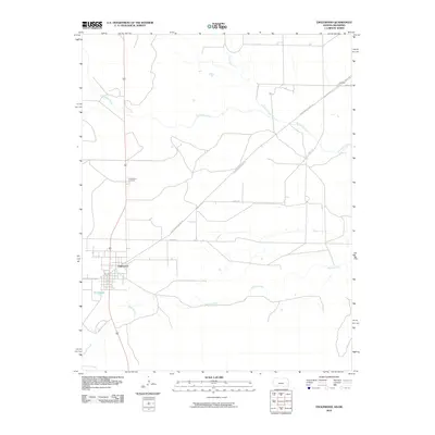 2010 Englewood2010 Print · USGSCovers Englewood, including Clark County, Harper County, and other nearby areas
 - 2012 Map of Englewood, 2012 Print
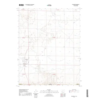
 2012 Englewood2012 Print · USGSCovers Englewood, including Clark County, Harper County, and other nearby areas
 - 2015 Map of Englewood, 2015 Print
 2015 Englewood2015 Print · USGSCovers Englewood, including Clark County, Harper County, and other nearby areas
 - 2018 Map of Englewood, 2018 Print
 2018 Englewood2018 Print · USGSCovers Englewood, including Clark County, Harper County, and other nearby areas
 - 2022 Map of Englewood, 2022 Print
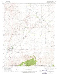
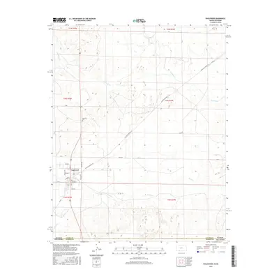
 2022 Englewood2022 Print · USGSThe Kansas-Oklahoma border comes alive in the southern plains near Englewood in this modern survey. Researchers can trace the town’s street grid and nearby landmarks like Englewood Cem and the waters of Perry Lake.
End of results
Showing maps 1-10 of 10
Top cities near Englewood
Frequently asked questions
- What are the different types of historical maps available for Englewood?
- What is the oldest map of Englewood?
- Where can I purchase historical maps of Englewood for my home or office?
- Where can I download high-res historical maps of Englewood?
- Are there historical topographic maps available for Englewood?
- Is there historical aerial imagery available for Englewood?
- Where are historical maps of Englewood sourced from?