2000-2009 Maps of Cloud County, Kansas
Explore 24 historic maps of Cloud County from 2000-2009. These maps offer a rare glimpse into what life looked like during the 2000s — showing old roads, neighborhoods, homes, and landmarks that have changed or disappeared over time.
Whether you're researching your family's past, planning a metal detecting trip, or studying how Cloud County's landscape evolved across the 2000s, these high-resolution maps are a powerful tool for exploring the history of this region.
- Focus on a specific era: All maps on this page are from the 2000s, giving you a focused view of this time period.
- See what’s changed: Compare century-old streets, trails, and buildings to today's modern landscape using overlays and satellite layers.
- Research with precision: Use these maps for genealogy, historical research, land use analysis, or educational projects.
- View, download, or print: Maps are fully viewable online in high resolution, and can be downloaded or printed for your own records.
Start exploring Cloud County's history through authentic maps from the 2000s. This is your window into the past.
Cloud County, KS maps
(24)- 2009 Map of Idana, 2009 Print
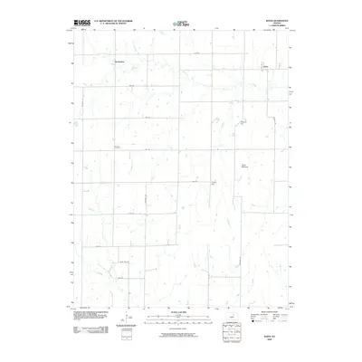 2009 Idana2009 Print · USGSClay County at the opening of the millennium shows a landscape defined by its agricultural grid and isolated prairie landmarks. Genealogists and local historians can locate Shields Cemetery and trace the rural surroundings of Idana and Browndale.
 - 2009 Map of Miltonvale NE, 2009 Print
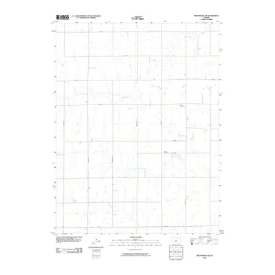 2009 Miltonvale NE2009 Print · USGSCloud County in the early 2000s remains defined by its rhythmic section-line roads and prairie creek drainages. Genealogists and local historians can locate long-standing landmarks like Bloom Cemetery, Lincoln Cemetery, and the winding path of Mulberry Creek.
 - 2009 Map of Clyde, 2009 Print
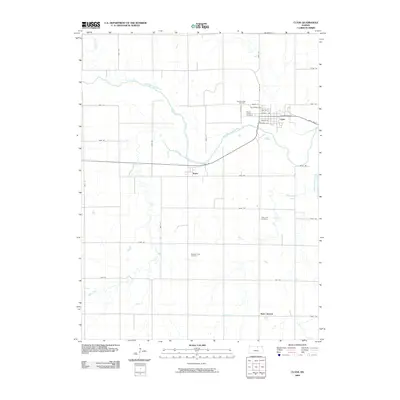 2009 Clyde2009 Print · USGSCloud County farmland surrounds the Republican River valley in the early twenty-first century. Genealogists and local historians can trace the residents of Clyde, Ames, and Saint Joseph through sites like Mount Hope Cemetery and Pleasant View Cemetery.
 - 2009 Map of Clifton, 2009 Print
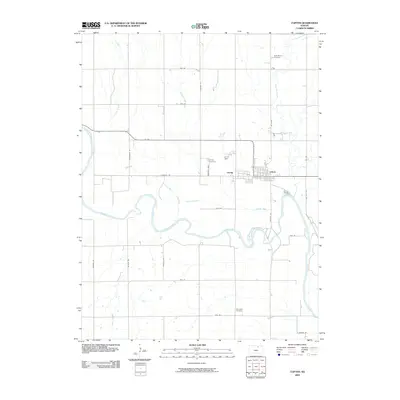 2009 Clifton2009 Print · USGSClifton and Vining stand along the winding Republican River in this 2009 survey of northern Kansas. Genealogists and local historians can trace the town grid alongside landmarks like Saint Marys Cemetery, Vining Cemetery, and the banks of Parsons Creek.
 - 2009 Map of Agenda, 2009 Print
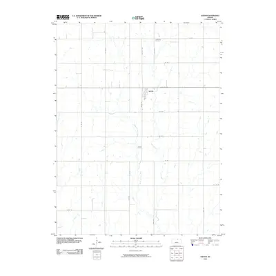 2009 Agenda2009 Print · USGSAgenda and the surrounding Republic County farmland are captured here in the early 2000s, reflecting a century of agricultural continuity. Genealogists can locate family sites near Willoughby Cemetery, Agenda Cemetery, and the banks of Elk Creek.
 - 2009 Map of Brantford, 2009 Print
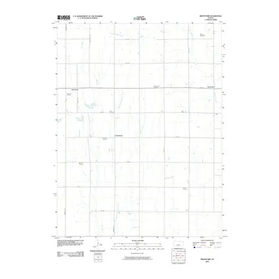 2009 Brantford2009 Print · USGSWashington County at the close of the first decade of the 21st century reveals a landscape of enduring rural communities and family legacies. Genealogists can trace deep roots through numerous burial grounds including Baptist Cemetery and Rusco Cemetery near the banks of Scribner Creek.
 - 2009 Map of Miltonvale, 2009 Print
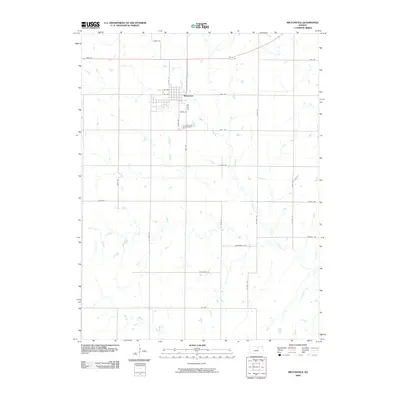 2009 Miltonvale2009 Print · USGSMiltonvale and its surrounding prairie landscapes are captured here during the first decade of the new millennium. Researchers can trace local lineages at Miltonvale Cemetery or follow the drainage patterns of Chapman Creek and West Chapman Creek through the rural section roads.
 - 2009 Map of Miltonvale NW, 2009 Print
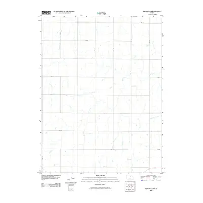 2009 Miltonvale NW2009 Print · USGSCloud County was characterized by a meticulous grid of named and numbered farm roads at the start of the 21st century. Researchers can trace the path of Mulberry Creek through the sections or locate rural tracts near Jade Rd and Key Rd.
 - 2009 Map of Glasco SW, 2009 Print
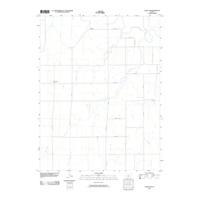 2009 Glasco SW2009 Print · USGSNorth-central Kansas farmland is captured here in the early 2000s, where the Solomon River and a series of numbered creeks define the terrain. Genealogists and local historians can locate the Simpson Cemetery and Green Mound Cemetery among the grid of rural section roads.
 - 2009 Map of Rice, 2009 Print
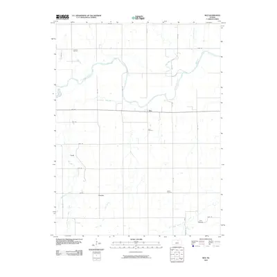 2009 Rice2009 Print · USGSNorth of Concordia in the early 2000s, this agricultural corridor is defined by the sweeping bends of the Republican River. Researchers can locate rural settlements like Rice and Huscher alongside historical burial sites such as Gottland Cemetery.
 - 2009 Map of Aurora SW, 2009 Print
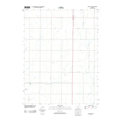 2009 Aurora SW2009 Print · USGSCloud County was characterized by a mature grid of rural farm roads and winding creek beds in the early twenty-first century. Genealogists can locate family burial sites at Delphos Cemetery or Saint Paul Cemetery and trace the paths of West Pipe Creek.
 - 2009 Map of Scottsville, 2009 Print
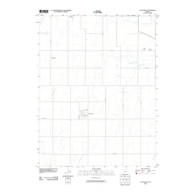 2009 Scottsville2009 Print · USGSScottsville and the surrounding Mitchell County plains are captured here in the early 2000s, showing a landscape defined by sectional farming and quiet rural life. Genealogists can locate several historic burial sites, including Lutheran Cemetery, West Hope Cemetery, and Saint Marys Cemetery.
 - 2009 Map of Aurora, 2009 Print
 2009 Aurora2009 Print · USGSAurora and the surrounding Cloud County farmland are documented here just as the new millennium began. Researchers can trace family history at Saint Peters Cemetery and Princeville Cemetery or follow the intricate drainages of West Branch Elm Creek.
 - 2009 Map of Concordia NW, 2009 Print
 2009 Concordia NW2009 Print · USGSCloud County farmland in the early twenty-first century is defined by a deep-rooted agricultural grid and the winding Republican River. Genealogists and local historians can locate several rural landmarks here, including the Pleasant Ridge Cemetery and Saron Cemetery.
 - 2009 Map of Aurora NW, 2009 Print
 2009 Aurora NW2009 Print · USGSCloud County’s agricultural landscape is shown in detail during the early twenty-first century, before modern developments altered the rural character. Genealogists can locate family sites at Wilcox Cemetery, Hall Cemetery, and Kindel Cemetery along the banks of Wolf Creek.
 - 2009 Map of Glasco, 2009 Print
 2009 Glasco2009 Print · USGSNorth-central Kansas farmland and the meandering Solomon River are meticulously mapped in the first decade of the 2000s. Genealogists and local historians can trace family land along Mortimer Creek, the streets of Glasco, and rural corridors like Blaze Rd.
 - 2009 Map of Jamestown, 2009 Print
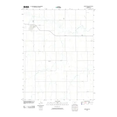 2009 Jamestown2009 Print · USGSJamestown and the surrounding Cloud County prairie are captured here during the first decade of the millennium. Local researchers can trace the rural landscape through Fairview Cemetery, the grid of Jamestown, and the winding path of Buffalo Creek.
 - 2009 Map of Glasco NE, 2009 Print
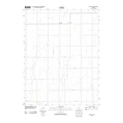 2009 Glasco NE2009 Print · USGSCloud County agricultural lands are captured here in the early twenty-first century, showing the enduring grid of rural Kansas farm life. Genealogists and local researchers can locate Morrison Cemetery and trace the paths of Fisher Creek and Macyville.
 - 2009 Map of Simpson, 2009 Print
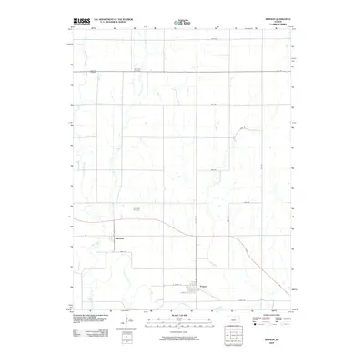 2009 Simpson2009 Print · USGSThe Solomon River valley in north-central Kansas comes alive in this contemporary survey of a quiet agricultural heartland. Genealogists can locate family sites near Asherville, Simpson, and the McBride Cemetery while tracing the winding path of Asher Creek.
 - 2009 Map of Wayne, 2009 Print
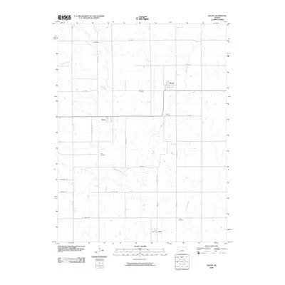 2009 Wayne2009 Print · USGSRepublic County agriculture and rural life are captured here in the early twenty-first century, showing a landscape of scattered prairie settlements. Genealogists can trace family roots through five local burial grounds, including Frontier Cemetery and Zion Cemetery near Talmo.
 - 2009 Map of Lamar, 2009 Print
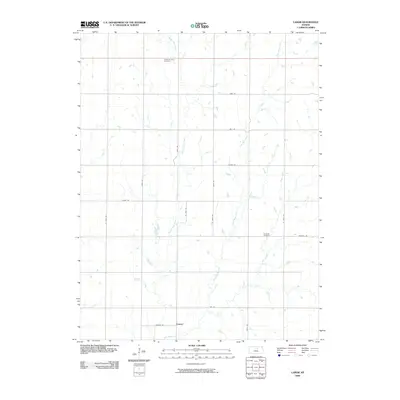 2009 Lamar2009 Print · USGSThis rural portion of Ottawa County, Kansas, is documented at the close of the first decade of the new millennium. Genealogists and local historians can trace family locations near Lamar or locate burial sites at Oakland Union Cemetery and Fairview Cemetery.
 - 2009 Map of Jamestown NW, 2009 Print
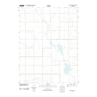 2009 Jamestown NW2009 Print · USGSCloud County’s rural landscape is captured here in the early 2000s, showing a transition between traditional prairie drainage and modern section roads. Genealogists can locate Caldwell Cemetery while outdoorsmen trace the waters of Sportsmans Lake and Buffalo Creek.
 - 2009 Map of Concordia, 2009 Print
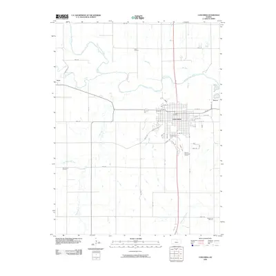 2009 Concordia2009 Print · USGSConcordia and the surrounding Cloud County countryside are shown here in the early twenty-first century, anchored by the winding Republican River. Researchers can trace local heritage through sites like Sibley Cemetery, Pleasant Hill Cemetery, and the outlying settlement at Yuma.
 - 2009 Map of Kackley, 2009 Print
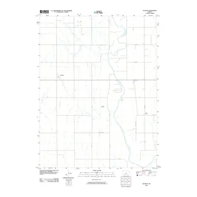 2009 Kackley2009 Print · USGSRepublic County in the early twenty-first century reflects a landscape shaped by the Republican River and its many tributaries. Researchers can locate the rural settlements of Norway and Kackley alongside local burial grounds like Oakdale Cemetery.
End of results
Showing maps 1-24 of 24
Top cities of Cloud County
- Concordia historical maps
- Clyde historical maps
- Glasco historical maps
- Miltonvale historical maps
- Jamestown historical maps
- Aurora historical maps
Frequently asked questions
- What are the different types of historical maps available for Cloud County?
- What is the oldest map of Cloud County?
- Where can I purchase historical maps of Cloud County for my home or office?
- Where can I download high-res historical maps of Cloud County?
- Are there historical topographic maps available for Cloud County?
- Is there historical aerial imagery available for Cloud County?
- Where are historical maps of Cloud County sourced from?