1900s (20th Century) Maps of Coffey County, Kansas
Explore 22 historic maps of Coffey County from the 1900s (20th Century). These maps offer a rare glimpse into what life looked like during the 1900s — showing old roads, neighborhoods, homes, and landmarks that have changed or disappeared over time.
Whether you're researching your family's past, planning a metal detecting trip, or studying how Coffey County's landscape evolved across the 1900s, these high-resolution maps are a powerful tool for exploring the history of this region.
- Focus on a specific era: All maps on this page are from the 1900s, giving you a focused view of this time period.
- See what’s changed: Compare century-old streets, trails, and buildings to today's modern landscape using overlays and satellite layers.
- Research with precision: Use these maps for genealogy, historical research, land use analysis, or educational projects.
- View, download, or print: Maps are fully viewable online in high resolution, and can be downloaded or printed for your own records.
Start exploring Coffey County's history through authentic maps from the 1900s. This is your window into the past.
Coffey County, KS maps
(22)- 1947 Map of Lawrence, 1954 Print
 1947 Lawrence1954 Print · USGSEastern Kansas and western Missouri thrive in the late 1940s, showing a landscape defined by major river valleys and a dense railway network. Genealogists can trace family settlements from Lawrence to Greenwood and locate landmarks like Olathe Navy and Lake Lotawana.
 - 1950 Map of Lawrence
 1950 Lawrence1950 Print · USGSMid-century Kansas and Missouri come alive in this map of the river-valley corridors just as the interstate era was beginning. Researchers can trace the legacy of major rail lines like the Union Pacific RR and locate ancestral roots in towns from Lawrence to Harrisonville.
 - 1956 Map of Lawrence, 1967 Print
 1956 Lawrence1967 Print · USGSEastern Kansas and the Missouri border country are captured here during the mid-century transition to the interstate era. Genealogists and local historians can trace family-named terrain like Summers Mound and the footprint of Sunflower Ordnance Works near Baldwin City.4 unique versions available
 - 1957 Map of Lebo, 1958 Print
 1957 Lebo1958 Print · USGSThe Kansas prairie at the mid-century reveals a landscape defined by the Atchison Topeka and Santa Fe railroad and old boundary lines. Genealogists can trace family names near Arvonia or locate burials at Lincoln Cem and Key West Cem.2 unique versions available
 - 1957 Map of Waverly NW, 1958 Print
 1957 Waverly NW1958 Print · USGSOsage and Coffey Counties come alive in the late fifties, showing a rural landscape defined by the railroad and historic borders. Trace the legacy of Olivet, locate the Olivet Cem, and follow the Old Indian Boundary as it crosses the plains.3 unique versions available
 - 1957 Map of Waverly, 1958 Print
 1957 Waverly1958 Print · USGSCoffey County in the late 1950s was a landscape defined by the prairie-spanning rails and rural crossroads. Local researchers can trace family landmarks like Boothe Hall, Rosemont Ch, and the historical path of the Old Indian Boundary.2 unique versions available
 - 1957 Map of Lebo NW, 1958 Print
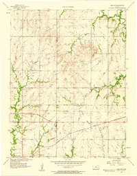 1957 Lebo NW1958 Print · USGSLyon County, Kansas, at the end of the fifties reveals a landscape shaped by the ATCHISON TOPEKA AND SANTA FE railroad and the Marais des Cygnes River. Genealogists can trace family roots through rural landmarks like Neosho Rapids and Arvonia Cem.3 unique versions available
 - 1961 Map of Lawrence
 1961 Lawrence1961 Print · USGSThe Kansas-Missouri borderland shows its mid-century transition from a rail-dependent agricultural region to a suburbanizing landscape. Genealogists can trace family footprints through numerous Cem sites and distinctive terrain landmarks like Graves Mound and Summers Mound.
 - 1966 Map of John Redmond Dam, 1968 Print
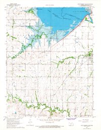 1966 John Redmond Dam1968 Print · USGSCoffey County underwent a major shift in the mid-sixties as the John Redmond Reservoir filled behind its new dam. Genealogists and local historians can locate several family burial grounds like Teachout Cem and Cole Hill Cem or trace the Old Grade near the Neosho River.
 - 1967 Map of Gridley SE, 1968 Print
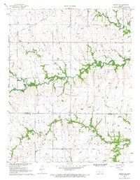 1967 Gridley SE1968 Print · USGSCoffey and Woodson counties are captured here in the late sixties as the local economy balanced rail transport with oil exploration. Researchers can find old burial grounds like Siria Cem and trace the path of the Atchison Topeka and Santa Fe railroad.
 - 1967 Map of Gridley NW, 1968 Print
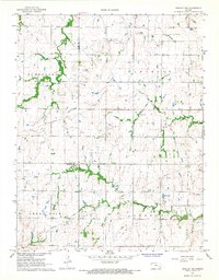 1967 Gridley NW1968 Print · USGSThe borderlands of Lyon and Coffey counties are captured in the late 1960s during a period of agricultural and industrial utility. Researchers can trace land patterns across Elmendaro and Shell Rock townships or locate the Apostolic Cem and early Oil Wells.
 - 1967 Map of Gridley, 1968 Print
 1967 Gridley1968 Print · USGSGridley and the surrounding Kansas townships are captured here in the late sixties as the local oil industry and rail network shaped the land. Researchers can trace family sites near the Church of the Brethren, explore the Winterscheid Oil Field, or follow the path of the Old Railroad Grade.
 - 1970 Map of Hartford, 1973 Print
 1970 Hartford1973 Print · USGSThe Neosho River valley in the early 1970s shows a landscape reshaped by the waters of the John Redmond Reservoir. Genealogists and local historians can trace family locations near Hartford and find markers like St Marys Cemetery or the Old Railroad Grade.
 - 1970 Map of Ottumwa, 1973 Print
 1970 Ottumwa1973 Print · USGSThe Neosho River valley of Coffey County is shown here just as it was being redefined by the John Redmond Reservoir in the early seventies. You can trace the shift from agriculture to recreation at Jacobs Creek Landing or locate the historic Bowman & Adgate Cem in the hills to the north.
 - 1971 Map of Waverly SE, 1973 Print
 1971 Waverly SE1973 Print · USGSCoffey and Anderson counties are captured in the early seventies as a network of creek-fed prairie townships and rural farmsteads. Genealogists and researchers can trace local land patterns through Wells and the drainage of Pottawatomie Creek and Elm Creek.
 - 1971 Map of Neosho Falls, 1973 Print
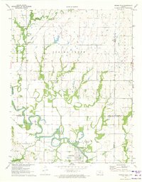 1971 Neosho Falls1973 Print · USGSNeosho Falls and the surrounding river valley are detailed in this early 1970s survey as the community thrived along the Neosho. Researchers can trace historic family-named burial sites like Stoeltzing Cem and Cedarvale Cem or locate traces of an Old Railroad Grade.
 - 1971 Map of Aliceville, 1973 Print
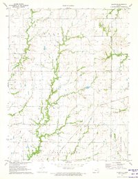 1971 Aliceville1973 Print · USGSCoffey County's rural townships and the village of Aliceville are frozen in time during the early seventies. Genealogists and local historians can trace family ties through landmarks like Star Cem, St Johns Cem, and the rural Scott Valley Ch.2 unique versions available
 - 1971 Map of Le Roy, 1973 Print
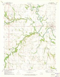 1971 Le Roy1973 Print · USGSCoffey County in the early seventies centers on the riverfront town of Le Roy as the Missouri Pacific railroad snakes through the valley. Family historians can locate the Lorenz Schlichter Memorial Cem and trace the Old Railroad Grade.
 - 1971 Map of New Strawn, 1973 Print
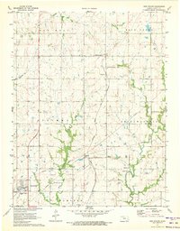 1971 New Strawn1973 Print · USGSCoffey County's rural townships and growing settlements are shown here in the early seventies as new infrastructure reached the Kansas plains. Family historians can locate several burial grounds like Halls Summit Cem and traces of the ATCHISON TOPEKA AND SANTA FE rail line.
 - 1971 Map of Burlington, 1973 Print
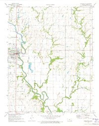 1971 Burlington1973 Print · USGSBurlington and the surrounding Coffey County townships are captured here in the early seventies as the railroad and river still defined the local economy. Researchers can trace family history through numerous rural burial sites like Stringtown Cem and Sherwood Cem or locate old industrial marks including Oil Wells and the Atchison Topeka and Santa Fe line.2 unique versions available
 - 1985 Map of Garnett
 1985 Garnett1985 Print · USGSAnderson County and its neighbors in the mid-eighties show a landscape of rising reservoirs and enduring rail towns. Genealogists and historians can trace the transition from rail to highway at Beto Junction or locate heritage sites like Silkville and Neosho Rapids.
 - 1990 Map of Garnett
 1990 Garnett1990 Print · USGSEast-central Kansas was a landscape of major reservoirs and established rail towns during the 1990s. Genealogists and historians can trace the paths of the Missouri Pacific Railroad and the Atchison Topeka and Santa Fe Railway through towns like Garnett and Silkville.
End of results
Showing maps 1-22 of 22
Top cities of Coffey County
- Burlington historical maps
- Lebo historical maps
- Ottumwa historical maps
- Waverly historical maps
- New Strawn historical maps
- Gridley historical maps
Frequently asked questions
- What are the different types of historical maps available for Coffey County?
- What is the oldest map of Coffey County?
- Where can I purchase historical maps of Coffey County for my home or office?
- Where can I download high-res historical maps of Coffey County?
- Are there historical topographic maps available for Coffey County?
- Is there historical aerial imagery available for Coffey County?
- Where are historical maps of Coffey County sourced from?