Old Maps of Abilene, Kansas for Academic Research
Study the evolution of Abilene with 18 high-resolution historic maps. Whether you're teaching, researching, or modeling changes in land use, these maps provide essential visual documentation of urban, environmental, and geographic change.
- Analyze long-term change: Track patterns in development, transportation, and natural features.
- Ideal for environmental or urban studies: Support academic projects with primary historical map data.
- Use in the classroom or lab: Educators and researchers rely on these maps to bring historical context to life.
These maps are a powerful tool for teaching, research, and visualizing how Abilene has changed over the decades.
Abilene, KS maps
(18)- 1889 Map of Abilene
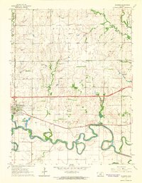
 1889 Abilene1889 Print · USGSAbilene and Dickinson County appear here in the late 1880s during the height of the Kansas railroad expansion. Genealogists and historians can trace the early development of Enterprise, Gypsum City, and Navarre along the complex network of the Union Pacific Railroad and competing lines.
 - 1894 Map of Abilene
 1894 Abilene1894 Print · USGSCentral Kansas at the peak of the railroad era shows a landscape transformed by competing iron rails and river commerce. Genealogists and historians can trace family roots through early settlements like Abilene, Enterprise, and Hope, or locate old stops along the Missouri Pacific Railroad.6 unique versions available
 - 1955 Map of Hutchinson, 1967 Print
 1955 Hutchinson1967 Print · USGSCentral Kansas in the mid-sixties reveals a landscape of growing reservoirs and evolving transportation corridors. Trace the development of towns like Hutchinson and Abilene alongside the Union Pacific Railroad and the expanding Interstate 70.3 unique versions available
 - 1959 Map of Hutchinson
 1959 Hutchinson1959 Print · USGSCentral Kansas thrives at the intersection of rail and river in the mid-1950s, as post-war aviation infrastructure reshapes the prairie. Genealogists and historians can trace the paths of the AT&SF RR through Newton and Hutchinson, or locate military sites like Smoky Hill Air Force Base.2 unique versions available
 - 1963 Map of Solomon, 1965 Print
 1963 Solomon1965 Print · USGSThe confluence of the Smoky Hill River and two major railroads defined life in central Kansas during the early sixties. Researchers can trace family landmarks like Willowdale Ch, Prairie Mound Cem, and the King Solomon Camp as the interstate era began.3 unique versions available
 - 1964 Map of Abilene, 1965 Print
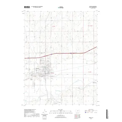
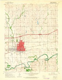 1964 Abilene1965 Print · USGSAbilene sits at a vital mid-century rail junction in this survey, showcasing its growth as a regional hub before the interstate era fully matured. Genealogists and historians can trace the foundations of the Eisenhower Center, local burials at St Joseph Cemetery, and small-town life in nearby Detroit.2 unique versions available
 - 1985 Map of Salina
 1985 Salina1985 Print · USGSCentral Kansas in the mid-1980s reveals a landscape defined by river confluences and a dense rail network. Genealogists and historians can trace established communities like Salina and Lindsborg, alongside landmarks like Bethany College and Kanopolis Lake.
 - 1990 Map of Salina
 1990 Salina1990 Print · USGSThe Smoky Hill River valley thrived in the late twentieth century as a vital crossroads of Kansas industry and education. Genealogists can trace family roots through the detailed plots of Elmwood Cem and Mt Calvary Cem or locate the historic campus of Bethany College.
 - 2009 Map of Abilene, 2009 Print
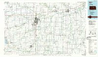
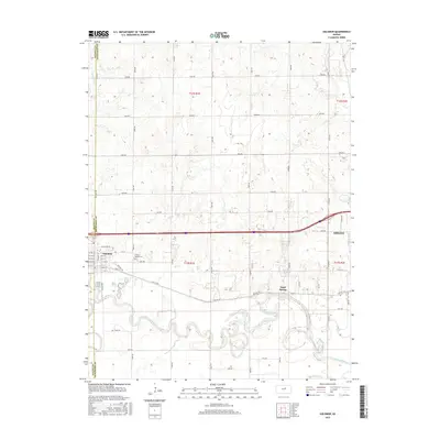
 2009 Abilene2009 Print · USGSCovers Abilene, including Enterprise, Dickinson County, and other nearby areas
 - 2009 Map of Solomon, 2009 Print
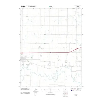 2009 Solomon2009 Print · USGSCovers Abilene, including Solomon, Sand Spring, and other nearby areas
 - 2012 Map of Abilene, 2012 Print
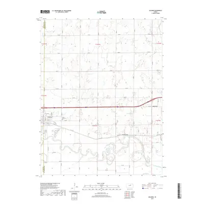
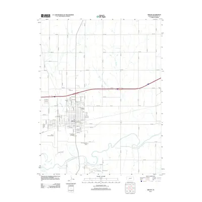 2012 Abilene2012 Print · USGSCovers Abilene, including Enterprise, Dickinson County, and other nearby areas
 - 2012 Map of Solomon, 2012 Print
 2012 Solomon2012 Print · USGSCovers Abilene, including Solomon, Sand Spring, and other nearby areas
 - 2015 Map of Abilene, 2015 Print
 2015 Abilene2015 Print · USGSCovers Abilene, including Enterprise, Dickinson County, and other nearby areas
 - 2015 Map of Solomon, 2015 Print
 2015 Solomon2015 Print · USGSCovers Abilene, including Solomon, Sand Spring, and other nearby areas
 - 2018 Map of Abilene, 2018 Print
 2018 Abilene2018 Print · USGSCovers Abilene, including Enterprise, Dickinson County, and other nearby areas
 - 2018 Map of Solomon, 2018 Print
 2018 Solomon2018 Print · USGSCovers Abilene, including Solomon, Sand Spring, and other nearby areas
 - 2022 Map of Abilene, 2022 Print
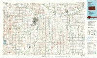
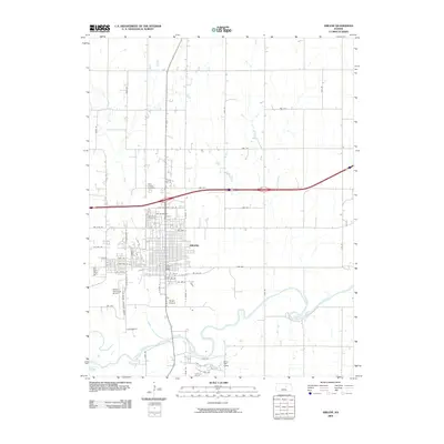
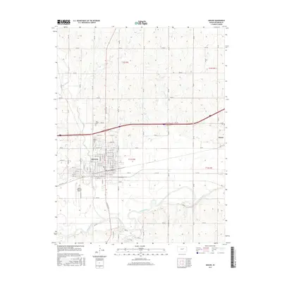
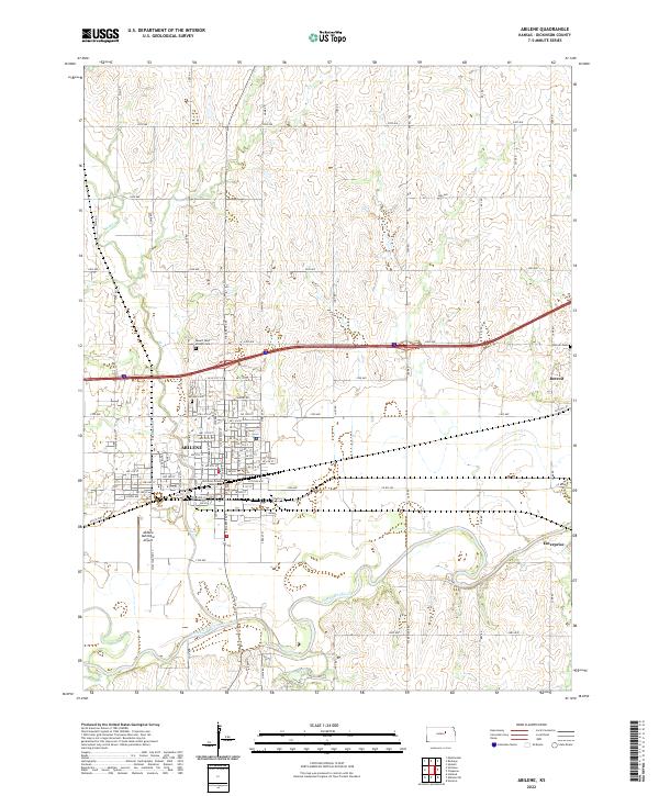 2022 Abilene2022 Print · USGSAbilene and the surrounding Dickinson County plains appear in this recent survey, showing the area's transition from river-bottom lands to high-prairie agriculture. Researchers can pinpoint the Dickinson County Courthouse and ancestral sites like Abilene Cem and Detroit Cem.
 - 2022 Map of Solomon, 2022 Print
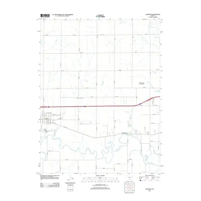
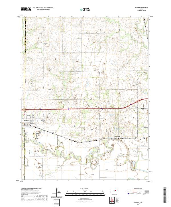 2022 Solomon2022 Print · USGSThe river junction at Solomon and the neighboring plains of Dickinson County are captured here in the early twenty-first century. Genealogists and researchers can trace local landmarks like Prairie Mound Cemetery and the settlement at Sand Spring.
End of results
Showing maps 1-18 of 18
Top cities near Abilene
- Chapman historical maps
- Chapman historical maps
- Enterprise historical maps
- Buckeye historical maps
- Gypsum historical maps
- Holland historical maps
See more
Frequently asked questions
- What are the different types of historical maps available for Abilene?
- What is the oldest map of Abilene?
- Where can I purchase historical maps of Abilene for my home or office?
- Where can I download high-res historical maps of Abilene?
- Are there historical topographic maps available for Abilene?
- Is there historical aerial imagery available for Abilene?
- Where are historical maps of Abilene sourced from?