Old Maps of Elmo, Kansas for Genealogy
Trace your family roots with 12 historic maps of Elmo. These high-res maps reveal old neighborhoods, homesites, landmarks, and streets — helping you uncover where your ancestors lived and how the area evolved over time.
- Explore historic neighborhoods: Identify where your relatives may have lived in the 1800s or 1900s.
- Compare maps over time: Trace the changes in streets, buildings, and landmarks for multi-generational research.
- Perfect for genealogy & ancestry research: Used by family historians and researchers to map out lineage and migration.
These maps are an incredible resource for exploring your personal connection to Elmo's past.
Elmo, KS maps
(12)- 1889 Map of Abilene
 1889 Abilene1889 Print · USGSAbilene and Dickinson County appear here in the late 1880s during the height of the Kansas railroad expansion. Genealogists and historians can trace the early development of Enterprise, Gypsum City, and Navarre along the complex network of the Union Pacific Railroad and competing lines.
 - 1894 Map of Abilene
 1894 Abilene1894 Print · USGSCentral Kansas at the peak of the railroad era shows a landscape transformed by competing iron rails and river commerce. Genealogists and historians can trace family roots through early settlements like Abilene, Enterprise, and Hope, or locate old stops along the Missouri Pacific Railroad.6 unique versions available
 - 1955 Map of Hutchinson, 1967 Print
 1955 Hutchinson1967 Print · USGSCentral Kansas in the mid-sixties reveals a landscape of growing reservoirs and evolving transportation corridors. Trace the development of towns like Hutchinson and Abilene alongside the Union Pacific Railroad and the expanding Interstate 70.3 unique versions available
 - 1959 Map of Hutchinson
 1959 Hutchinson1959 Print · USGSCentral Kansas thrives at the intersection of rail and river in the mid-1950s, as post-war aviation infrastructure reshapes the prairie. Genealogists and historians can trace the paths of the AT&SF RR through Newton and Hutchinson, or locate military sites like Smoky Hill Air Force Base.2 unique versions available
 - 1964 Map of Elmo, 1965 Print
 1964 Elmo1965 Print · USGSAgricultural Dickinson County comes alive in the mid-1960s, showing the intersection of rail history and rural settlement. Genealogists and historians can trace the Missouri Pacific through Elmo or locate Mt Calvary Cem and Ashton Cem.3 unique versions available
 - 1985 Map of Salina
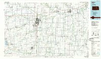 1985 Salina1985 Print · USGSCentral Kansas in the mid-1980s reveals a landscape defined by river confluences and a dense rail network. Genealogists and historians can trace established communities like Salina and Lindsborg, alongside landmarks like Bethany College and Kanopolis Lake.
 - 1990 Map of Salina
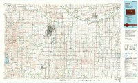 1990 Salina1990 Print · USGSThe Smoky Hill River valley thrived in the late twentieth century as a vital crossroads of Kansas industry and education. Genealogists can trace family roots through the detailed plots of Elmwood Cem and Mt Calvary Cem or locate the historic campus of Bethany College.
 - 2009 Map of Elmo, 2009 Print
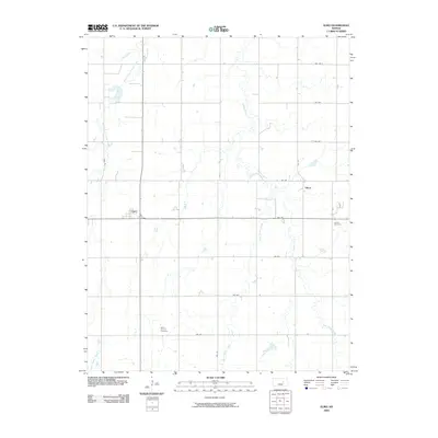 2009 Elmo2009 Print · USGSMid-century Dickinson County rural life is preserved here, showing the agricultural grid and creek systems of central Kansas. Genealogists can locate family sites near Mount Calvary Cemetery or Ashton Cemetery and the small communities of Elmo and Dillon.
 - 2012 Map of Elmo, 2012 Print
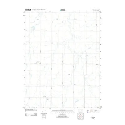 2012 Elmo2012 Print · USGSElmo and the surrounding Dickinson County farmlands are captured in the early 21st century, showing a landscape defined by the winding forks of Turkey Cr. Researchers can locate several burial sites including Banner Cem, Mount Calvary Cem, and Ashton Cem.
 - 2015 Map of Elmo, 2015 Print
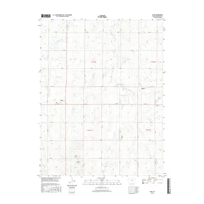 2015 Elmo2015 Print · USGSElmo and Dillon sit within the rolling agricultural section of Dickinson County as it appeared in the mid-2010s. Researchers can locate family roots at several burial sites including Banner Cem, Ashton Cem, and Mount Calvary Cem.
 - 2018 Map of Elmo, 2018 Print
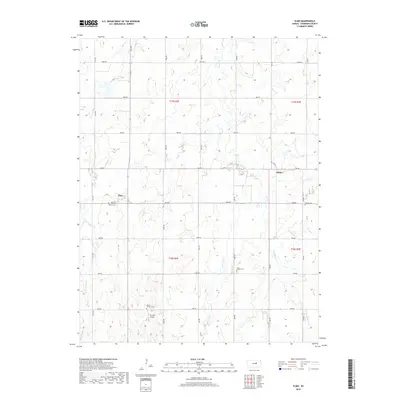 2018 Elmo2018 Print · USGSThe rural landscape of Dickinson County is captured here in the late twenty-teens, showing the agricultural grids and creek networks around Elmo. Genealogists and local historians can locate several family burial sites, including Banner Cem, Ashton Cem, and Mount Calvary Cem.
 - 2022 Map of Elmo, 2022 Print
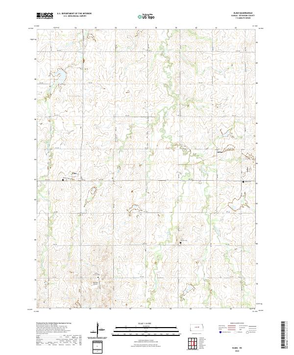 2022 Elmo2022 Print · USGSDickinson County's prairie landscape is captured here in the early twenty-first century, showing the rural communities of Elmo and Dillon. Researchers can locate several burial sites including Banner Cem and First Baptist Cem or trace the winding forks of Turkey Cr.
End of results
Showing maps 1-12 of 12
Top cities near Elmo
- Abilene historical maps
- Enterprise historical maps
- Gypsum historical maps
- Hope historical maps
- Tampa historical maps
- Holland historical maps
See more
Frequently asked questions
- What are the different types of historical maps available for Elmo?
- What is the oldest map of Elmo?
- Where can I purchase historical maps of Elmo for my home or office?
- Where can I download high-res historical maps of Elmo?
- Are there historical topographic maps available for Elmo?
- Is there historical aerial imagery available for Elmo?
- Where are historical maps of Elmo sourced from?