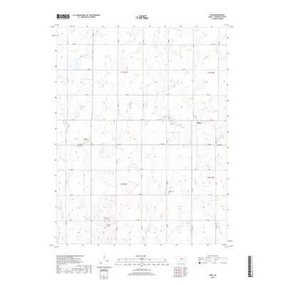
2018 Map of Elmo
USGS Topo · Published 2018About this map
The settlement of Elmo stands as the central point of this Dickinson County landscape, defined by a rigid grid of rural roads and the meandering path of Turkey Creek and its various branches. The area maintains its agricultural character, with long stretches of numbered avenues and named roads like Gulf Rd and Jeep Rd dividing the terrain into clear sections. For those researching local heritage, the map identifies several key burial grounds including Banner Cem, Ashton Cem, and Mount Calvary Cem, which serve as permanent markers of the families who settled this region of Kansas.
Find a feature on this map
31 named features on this map. Tap any name to fly to it.
Don’t see what you’re looking for? This feature index may not catch every label — zoom into the map to look around manually.
Map Details
Editions of this 2018 Elmo Map
This is the sole edition of this map. No revisions or reprints were ever made.
Other maps of this area
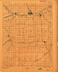
1889 · Abilene
USGS Topo · 1:125,000
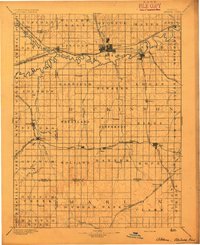
1894 · Abilene
USGS Topo · 1:125,000
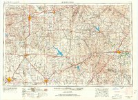
1955 · Hutchinson
USGS Topo · 1:250,000
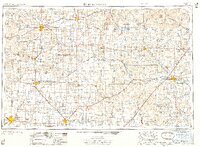
1959 · Hutchinson
USGS Topo · 1:250,000
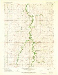
1963 · Abilene SW
USGS Topo · 1:24,000
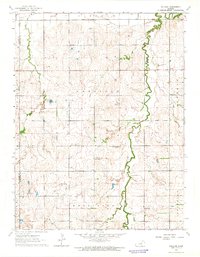
1963 · Holland
USGS Topo · 1:24,000
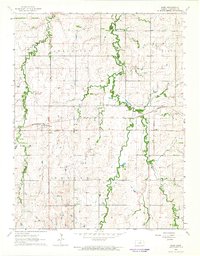
1964 · Elmo
USGS Topo · 1:24,000
1964 · Carlton
USGS Topo · 1:24,000
1964 · Ramona
USGS Topo · 1:24,000
1964 · Navarre
USGS Topo · 1:24,000