1963 Map of Abilene SW
USGS Topo · Published 1965About this map
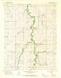
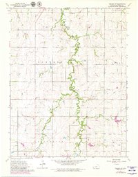
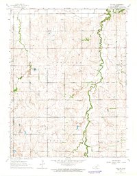
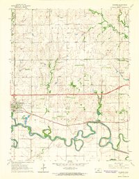
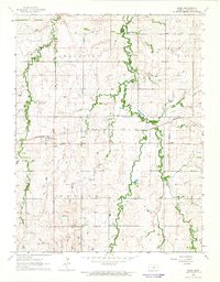
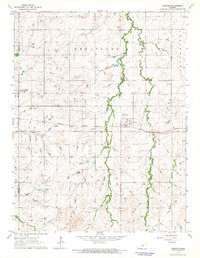
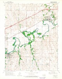
Turkey Creek carves a winding path through the central Dickinson County landscape, defining the topography of this agricultural region in the early 1960s. The map illustrates a rural society structured around local townships like Newbern, Logan, and Jefferson, where small community hubs provided essential services. Distinctive landmarks such as the Rural Center Sch and the Gaging Station on the creek indicate a well-organized rural infrastructure.
Find a feature on this map
17 named features on this map. Tap any name to fly to it.
Don’t see what you’re looking for? This feature index may not catch every label — zoom into the map to look around manually.
Map Details
Editions of this 1963 Abilene SW Map
2 editions found
Other maps of this area

1889 · Abilene
USGS Topo · 1:125,000

1894 · Abilene
USGS Topo · 1:125,000

1955 · Hutchinson
USGS Topo · 1:250,000

1959 · Hutchinson
USGS Topo · 1:250,000
1963 · Holland
USGS Topo · 1:24,000
1963 · Solomon
USGS Topo · 1:24,000
1964 · Elmo
USGS Topo · 1:24,000
1964 · Carlton
USGS Topo · 1:24,000
1964 · Chapman
USGS Topo · 1:24,000

1964 · Navarre
USGS Topo · 1:24,000