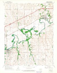
1964 Map of Chapman
USGS Topo · Published 1965About this map
The winding Smoky Hill River meanders through central Dickinson County, anchoring a landscape defined by its river-and-rail economy in the mid-1960s. The settlement of Chapman sits at the junction of Chapman Creek and the Union Pacific tracks, serving as a focal point for the surrounding townships of Noble and Hayes. To the southwest, Enterprise and the village of Detroit are connected by a network of competing rail lines, including the Chicago Rock Island and Pacific and the Atchison Topeka and Santa Fe. This era shows a community deeply rooted in its local institutions, evidenced by numerous country churches such as St Patricks Ch and Bethlehem Ch, alongside a productive landscape of quarries and a Sandpit situated near the broad oxbows of the river valley.
Find a feature on this map
33 named features on this map. Tap any name to fly to it.
Don’t see what you’re looking for? This feature index may not catch every label — zoom into the map to look around manually.
Map Details
Editions of this 1964 Chapman Map
3 editions found
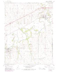
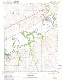
Other maps of this area

1886 · Junction City
USGS Topo · 1:125,000

1889 · Junction City
USGS Topo · 1:125,000

1889 · Abilene
USGS Topo · 1:125,000

1889 · Parkerville
USGS Topo · 1:125,000

1891 · Clay Center
USGS Topo · 1:125,000

1894 · Junction City
USGS Topo · 1:125,000

1894 · Abilene
USGS Topo · 1:125,000

1894 · Parkerville
USGS Topo · 1:125,000

1947 · Fort Riley
USGS Topo · 1:62,500

1950 · Alida
USGS Topo · 1:24,000