
1964 Map of Carlton
USGS Topo · Published 1965About this map
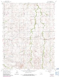
Carlton stands as the central hub of this mid-1960s Kansas landscape, situated at the junction of the Missouri Pacific railroad and a local Landing Strip. The map detail captures the rural character of the Dickinson County and Saline County border, where the land is organized into the townships of Wheatland, Jefferson, Holland, and Banner. The drainage patterns are dominated by the winding course of Holland Creek and its branches, including West Holland Creek and East Holland Creek, which cut through the agricultural sections. For those researching local families, the locations of Fairview Cem in the northeast and Woodlawn Cem to the west provide specific geographic anchors for genealogical study. The presence of a Gravel Pit and numerous springs like McAllister Creek further illustrate the intersection of local industry and the natural prairie environment.
Find a feature on this map
16 named features on this map. Tap any name to fly to it.
Don’t see what you’re looking for? This feature index may not catch every label — zoom into the map to look around manually.
Map Details
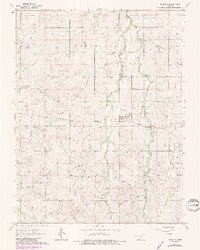
Editions of this 1964 Carlton Map
3 editions found
Other maps of this area

1889 · Abilene
USGS Topo · 1:125,000

1894 · Abilene
USGS Topo · 1:125,000

1955 · Kipp
USGS Topo · 1:24,000

1955 · Gypsum
USGS Topo · 1:24,000

1955 · Hutchinson
USGS Topo · 1:250,000

1959 · Hutchinson
USGS Topo · 1:250,000

1963 · Abilene SW
USGS Topo · 1:24,000
1963 · Holland
USGS Topo · 1:24,000

1964 · Elmo
USGS Topo · 1:24,000
1964 · Gypsum SE
USGS Topo · 1:24,000