
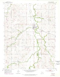
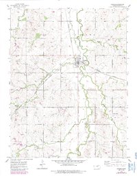
1955 Map of Gypsum
USGS Topo · Published 1956About this map
The town of Gypsum serves as the focal point of this mid-century survey, situated at the confluence of several vital watercourses including Gypsum Creek and Spring Creek. The landscape is defined by its rural civic and religious centers, such as the Town Hall and the German Temple, reflecting the deep-seated community structures of southeastern Saline County. The Missouri Pacific railroad cuts through the terrain, historically linking these agricultural settlements to wider markets.
Find a feature on this map
23 named features on this map. Tap any name to fly to it.
Don’t see what you’re looking for? This feature index may not catch every label — zoom into the map to look around manually.
Map Details
Editions of this 1955 Gypsum Map
3 editions found
Other maps of this area

1889 · Abilene
USGS Topo · 1:125,000

1892 · Salina
USGS Topo · 1:125,000

1894 · Abilene
USGS Topo · 1:125,000

1942 · Salina
USGS Topo · 1:125,000

1955 · Salina
USGS Topo · 1:24,000

1955 · Assaria
USGS Topo · 1:24,000

1955 · Kipp
USGS Topo · 1:24,000

1955 · Hutchinson
USGS Topo · 1:250,000

1959 · Hutchinson
USGS Topo · 1:250,000
1963 · Holland
USGS Topo · 1:24,000