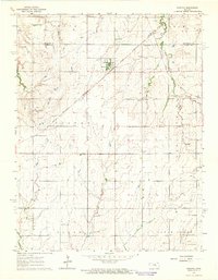
1964 Map of Ramona
USGS Topo · Published 1965About this map
The town of Ramona serves as a focal point in this mid-1960s survey of the central Kansas prairie. The landscape is defined by the convergence of major rail lines, including the Chicago Rock Island and Pacific and the Atchison Topeka and Santa Fe, which intersect near the small settlement of Jacobs. These railroads reflect the region's historical role as a transport hub for agricultural and industrial goods.
Find a feature on this map
23 named features on this map. Tap any name to fly to it.
Don’t see what you’re looking for? This feature index may not catch every label — zoom into the map to look around manually.
Map Details
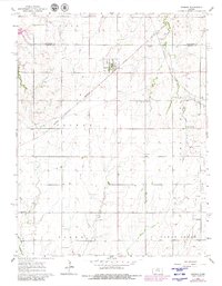
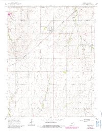
Editions of this 1964 Ramona Map
3 editions found
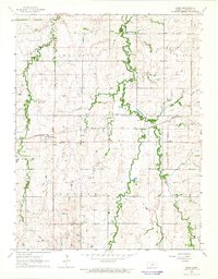
Other maps of this area

1889 · Newton
USGS Topo · 1:125,000

1889 · Abilene
USGS Topo · 1:125,000

1889 · Parkerville
USGS Topo · 1:125,000

1894 · Newton
USGS Topo · 1:125,000

1894 · Abilene
USGS Topo · 1:125,000

1894 · Parkerville
USGS Topo · 1:125,000

1898 · Cottonwood Falls
USGS Topo · 1:125,000

1955 · Hutchinson
USGS Topo · 1:250,000

1959 · Hutchinson
USGS Topo · 1:250,000
1964 · Elmo
USGS Topo · 1:24,000