Old Maps of Lewis, Kansas for Hiking & Exploration
Hike through history with 18 historic maps of Lewis. Explore old trails, ghost towns, and forgotten backroads — perfect for outdoor adventurers and local explorers.
- Rediscover forgotten places: Map out old mining camps, roads, and footpaths that no longer exist on modern maps.
- Layer with modern tools: Combine with LiDAR or satellite views to plan hikes through historical terrain.
- Made for exploration: Popular among hikers, overlanders, and local history lovers.
Use these maps to find adventure and explore the hidden past of Lewis.
Lewis, KS maps
(18)- 1889 Map of Kinsley, 1962 Print
 1889 Kinsley1962 Print · USGSEdwards and Kiowa counties were in the midst of a railroad-driven expansion in the late 1880s as new townsites emerged along the prairie. Researchers can trace early township lines and settlements like Greensburg, Kinsley, and the whistle-stop at Brenham.
 - 1892 Map of Kinsley
 1892 Kinsley1892 Print · USGSThe Kansas prairie of Edwards and Kiowa counties is captured here in the late nineteenth century as new railroads transformed the plains into a network of agricultural hubs. Genealogists and historians can trace the early footprints of Greensburg and Kinsley, along with smaller sidings like Mullenville and Brenham.
 - 1894 Map of Kinsley
 1894 Kinsley1894 Print · USGSEdwards and Kiowa Counties are seen here during the rail-driven expansion of the 1890s. Genealogists can trace the early township grids and burgeoning prairie towns like Kinsley, Mullenville, and Haviland along the Arkansas River corridor.8 unique versions available
 - 1955 Map of Pratt, 1968 Print
 1955 Pratt1968 Print · USGSSouth-central Kansas during the mid-fifties presents a landscape of sprawling oil fields and critical rail junctions. Researchers can trace the paths of the Atchison Topeka and Santa Fe railroad or locate local landmarks like the Blue Ridge Community House and Camp Carlisle.3 unique versions available
 - 1959 Map of Pratt
 1959 Pratt1959 Print · USGSSouth-central Kansas thrived as a rail and agricultural hub in the late fifties, where the Arkansas River meets a vast grid of section roads. Researchers can trace the path of the Missouri Pacific railroad through settlements like Turon and Stafford, or locate family landmarks like the Prairie Oak School.2 unique versions available
 - 1972 Map of Belpre NW, 1974 Print
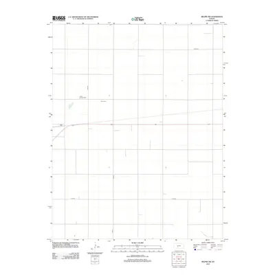
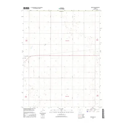
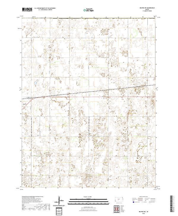
 1972 Belpre NW1974 Print · USGSEdwards County and Pawnee County appear here in the early seventies, dominated by the rail-and-field layout of the High Plains. Genealogists and local historians can trace family land in Wayne township, find the Wayne Cem, or locate the Cross Landing Strip.
 - 1972 Map of Lewis, 1974 Print
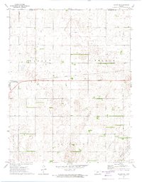
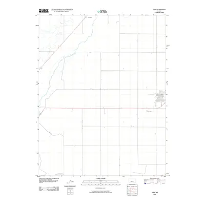
 1972 Lewis1974 Print · USGSEdwards County was an established agricultural and rail hub in the early seventies, centered on the Lewis community. Local historians can trace the corridor of the Atchison Topeka and Santa Fe and the rural development around Nettleton and Coon Creek.2 unique versions available
 - 1985 Map of Kinsley
 1985 Kinsley1985 Print · USGSWestern Kansas at the peak of the mid-eighties shows a landscape defined by historic treaty lines and the dominance of the rails. Genealogists and historians can trace the Old Indian Treaty Boundary and find long-standing settlements like Fort Dodge, Greensburg, and Windhorst.2 unique versions available
 - 2009 Map of Belpre NW, 2009 Print
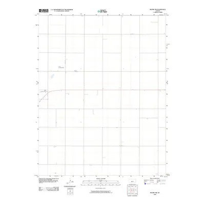 2009 Belpre NW2009 Print · USGSCovers Lewis, including Pawnee County, Edwards County, and other nearby areas
 - 2009 Map of Lewis, 2009 Print
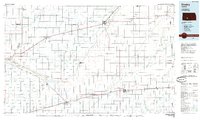
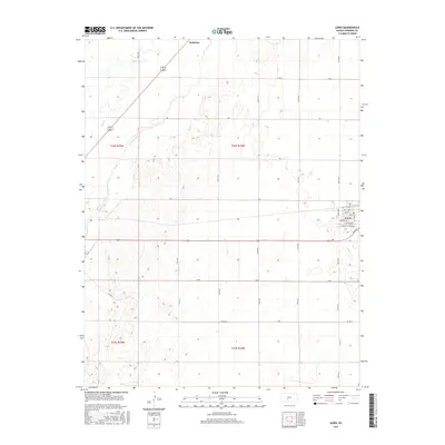
 2009 Lewis2009 Print · USGSCovers Lewis, including Nettleton, Edwards County, and other nearby areas
 - 2012 Map of Belpre NW, 2012 Print
 2012 Belpre NW2012 Print · USGSCovers Lewis, including Pawnee County, Edwards County, and other nearby areas
 - 2012 Map of Lewis, 2012 Print
 2012 Lewis2012 Print · USGSCovers Lewis, including Nettleton, Edwards County, and other nearby areas
 - 2015 Map of Lewis, 2015 Print
 2015 Lewis2015 Print · USGSCovers Lewis, including Nettleton, Edwards County, and other nearby areas
 - 2015 Map of Belpre NW, 2015 Print
 2015 Belpre NW2015 Print · USGSCovers Lewis, including Pawnee County, Edwards County, and other nearby areas
 - 2018 Map of Belpre NW, 2018 Print
 2018 Belpre NW2018 Print · USGSCovers Lewis, including Pawnee County, Edwards County, and other nearby areas
 - 2018 Map of Lewis, 2018 Print
 2018 Lewis2018 Print · USGSCovers Lewis, including Nettleton, Edwards County, and other nearby areas
 - 2022 Map of Belpre NW, 2022 Print
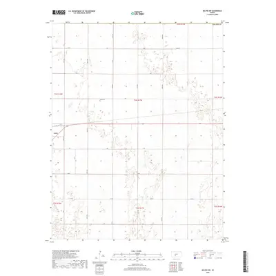
 2022 Belpre NW2022 Print · USGSThe Kansas High Plains come into focus in this recent survey of the area around Lewis. Researchers can trace local transit routes like Factory Ave and examine the precise land divisions that define this agricultural landscape.
 - 2022 Map of Lewis, 2022 Print
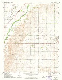
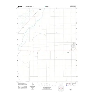
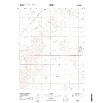
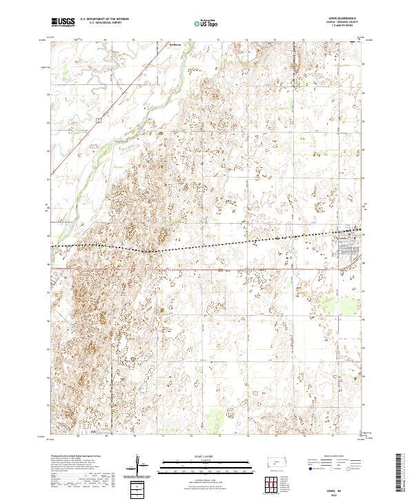 2022 Lewis2022 Print · USGSEdwards County in the early twenty-first century reveals a landscape defined by the Arkansas River and the town of Lewis. Genealogists and local historians can trace the street layouts of Lewis and the northern settlement of Nettleton, along with rural routes like Sunnyside.
End of results
Showing maps 1-18 of 18
Top cities near Lewis
Frequently asked questions
- What are the different types of historical maps available for Lewis?
- What is the oldest map of Lewis?
- Where can I purchase historical maps of Lewis for my home or office?
- Where can I download high-res historical maps of Lewis?
- Are there historical topographic maps available for Lewis?
- Is there historical aerial imagery available for Lewis?
- Where are historical maps of Lewis sourced from?