2000s (21st Century) Maps of Elk County, Kansas
Explore 90 historic maps of Elk County from the 2000s (21st Century). These maps offer a rare glimpse into what life looked like during the 2000s — showing old roads, neighborhoods, homes, and landmarks that have changed or disappeared over time.
Whether you're researching your family's past, planning a metal detecting trip, or studying how Elk County's landscape evolved across the 2000s, these high-resolution maps are a powerful tool for exploring the history of this region.
- Focus on a specific era: All maps on this page are from the 2000s, giving you a focused view of this time period.
- See what’s changed: Compare century-old streets, trails, and buildings to today's modern landscape using overlays and satellite layers.
- Research with precision: Use these maps for genealogy, historical research, land use analysis, or educational projects.
- View, download, or print: Maps are fully viewable online in high resolution, and can be downloaded or printed for your own records.
Start exploring Elk County's history through authentic maps from the 2000s. This is your window into the past.
Elk County, KS maps
(90)- 2009 Map of Elk Falls, 2009 Print
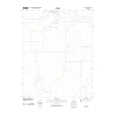 2009 Elk Falls2009 Print · USGSSoutheast Kansas at the turn of the millennium remains a rural landscape defined by the winding Elk River and its many tributaries. Researchers can trace the layout of Elk Falls or follow old routes like Valley Rd and Trail Rd through the countryside.
 - 2009 Map of Longton NW, 2009 Print
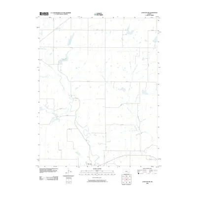 2009 Longton NW2009 Print · USGSElk Falls and the surrounding prairie lands are captured here during the first decade of the 2000s. Researchers can trace the drainage of Hitchen Creek or locate landmarks like Polk Daniels Lake and the bend of the Elk River.
 - 2009 Map of Severy South, 2009 Print
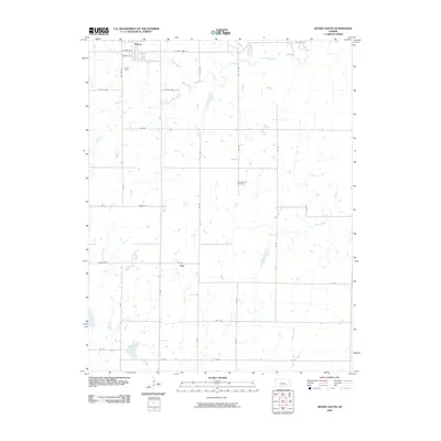 2009 Severy South2009 Print · USGSThe northern Flint Hills prairie around Severy and Fiat is captured here during the first decade of the 2000s. Genealogists and local historians can trace family roots at the Pleasant View Cemetery and follow the routes of Salt Creek and Hitchen Creek.
 - 2009 Map of Latham SE, 2009 Print
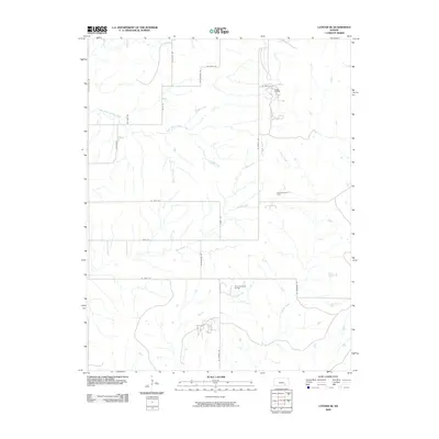 2009 Latham SE2009 Print · USGSSoutheast Kansas at the start of the millennium shows a working landscape shaped by petroleum extraction and prairie drainage. Researchers can trace the layout of the Ferrell Oil Field and Shinn Northeast Oil Field alongside Grouse Creek.
 - 2010 Map of Howard, 2010 Print
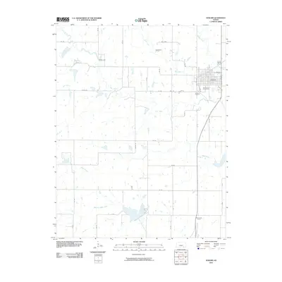 2010 Howard2010 Print · USGSElk County, Kansas, is seen here in the early 2000s, centered on the county seat and the winding course of the Elk River. Researchers can trace local lineage at the Howard Cemetery or locate industrial sites like the Dunkleberger Oil Field and the Elk County Airport.
 - 2010 Map of Buxton, 2010 Print
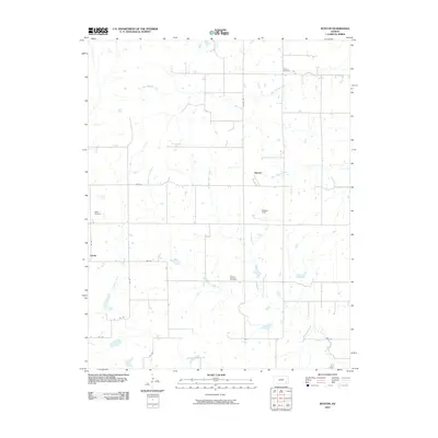 2010 Buxton2010 Print · USGSElk County at the turn of the millennium remains a place of wide-open prairie and intricate creek systems. Genealogists can trace family connections at Upola Cemetery, Butner Cemetery, and Mount Pleasant Cemetery or locate the quiet settlements of Buxton and Upola.
 - 2010 Map of Piedmont SW, 2010 Print
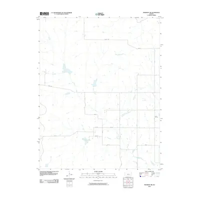 2010 Piedmont SW2010 Print · USGSElk County at the turn of the decade is captured here, showing the intricate network of the Elk River and its branches. Local history researchers can trace the rural landscape through landmarks like Forest Cemetery and named routes such as Oxen Rd.
 - 2010 Map of New Albany, 2010 Print
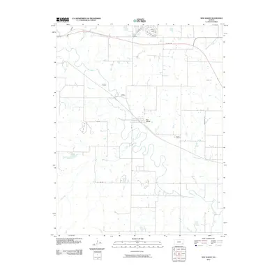 2010 New Albany2010 Print · USGSNew Albany and the surrounding Wilson County countryside are documented here in the early twenty-first century as a landscape of river bends and rural crossroads. Researchers can trace local genealogy through several family and community sites like Weakley Cemetery, Jackson Cemetery, and the riverfront at Fall River.
 - 2010 Map of Oak Valley, 2010 Print
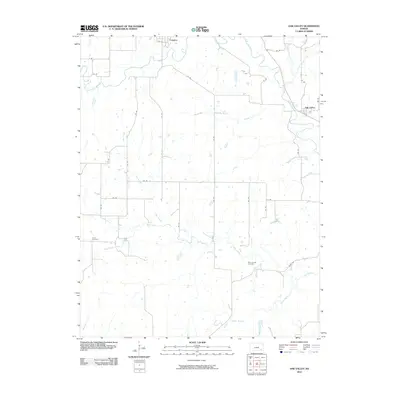 2010 Oak Valley2010 Print · USGSElk County at the start of the twenty-first century reveals a landscape of river-valley settlements and rural road networks. Genealogists can trace family connections at Crum Cemetery and West Liberty Cemetery, or follow the winding Elk River between Longton and Oak Valley.
 - 2010 Map of Howard NW, 2010 Print
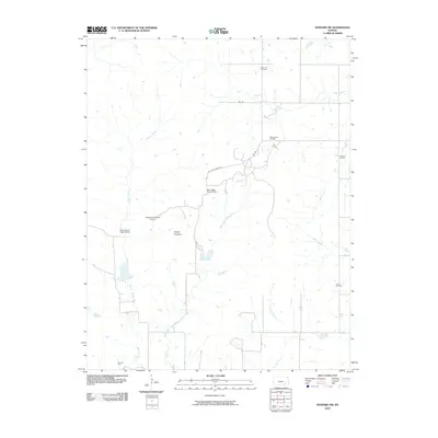 2010 Howard NW2010 Print · USGSElk County ranching and petroleum production are on full display in this mid-2000s study of the Kansas prairie. Genealogists and historians can locate the Clear Cut Cemetery and trace the development of the Bush-Denton Oil Field and Eaglehead Ranch Airport.
 - 2010 Map of Fall River, 2010 Print
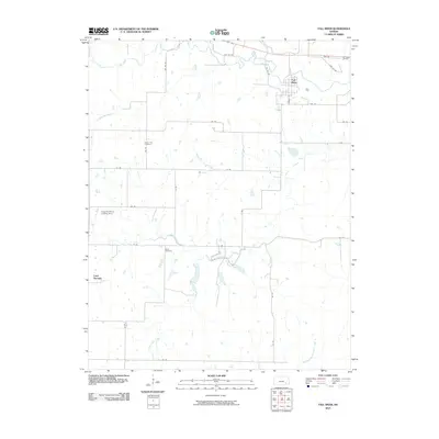 2010 Fall River2010 Print · USGSGreenwood County at the start of the decade reveals a landscape of prairie creeks and quiet rural settlements. Genealogists and local historians can locate Mount Zion Cemetery, Wade Cemetery, and the Clogston Ranch Landing Strip among the bends of Salt Creek.
 - 2010 Map of Elk City, 2010 Print
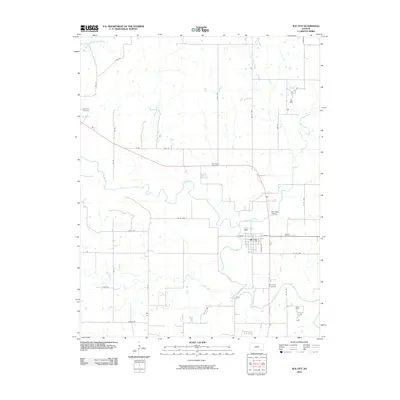 2010 Elk City2010 Print · USGSElk City and the surrounding Montgomery County river valleys are captured here in the early twenty-first century as the local rural landscape continues its long agricultural traditions. Researchers can trace family sites near Oak Hill Cemetery and Woodring Cemetery or follow the winding course of the Elk River.
 - 2010 Map of Grenola, 2010 Print
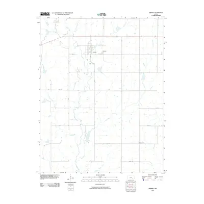 2010 Grenola2010 Print · USGSElk County at the start of the 21st century remains a landscape defined by the winding Caney River and the small town of Grenola. Genealogists and local historians can locate rural landmarks like Green Lawn Cemetery and the distant Pleasant Valley Cemetery among the grid of section-line roads.
 - 2010 Map of Moline, 2010 Print
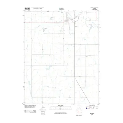 2010 Moline2010 Print · USGSElk County at the start of the 2010s reveals a landscape defined by the town of Moline and its surrounding agricultural section lines. Researchers can trace local lineage through several documented burial sites, including Belknap Cemetery, Ames Cemetery, and the Mount Olivet Cemetery.
 - 2010 Map of Cambridge NE, 2010 Print
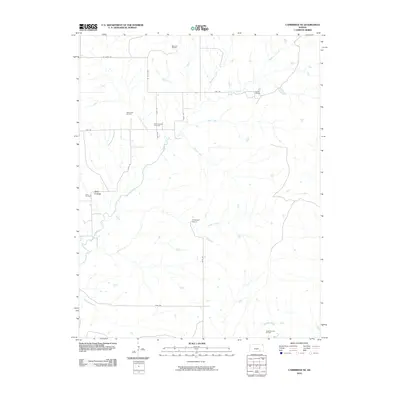 2010 Cambridge NE2010 Print · USGSCowley County's prairie landscape at the start of the 21st century reveals a deeply ingrained history of oil exploration and cattle ranching. Researchers can locate family landmarks like Glen Crouse, the Glen Grouse Cemetery, and holdings such as Ferguson Ranch.
 - 2010 Map of Longton, 2010 Print
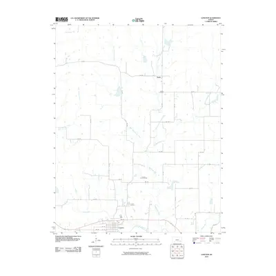 2010 Longton2010 Print · USGSElk County, Kansas, is documented in the early twenty-first century as a landscape of river bends and energy production. Genealogists and researchers can locate family plots at Longton Cemetery or trace the industrial footprint of the Longton Oil and Gas Field.
 - 2010 Map of Piedmont, 2010 Print
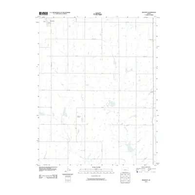 2010 Piedmont2010 Print · USGSPiedmont and the surrounding Kansas plains are documented here in the early twenty-first century as the landscape remains defined by its agricultural roots. Genealogists and local historians can trace family land near Bunker Hill Cemetery, Cresco Cemetery, and the banks of Rock Creek.
 - 2010 Map of Grand Summit, 2010 Print
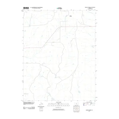 2010 Grand Summit2010 Print · USGSGrand Summit and the surrounding Kansas prairie are captured here during the first decade of the 2000s. Researchers can trace rural lineages at Gospel Ridge Cemetery and follow the hydrological paths of Otter Creek, Cedar Creek, and Union Creek.
 - 2012 Map of Howard, 2012 Print
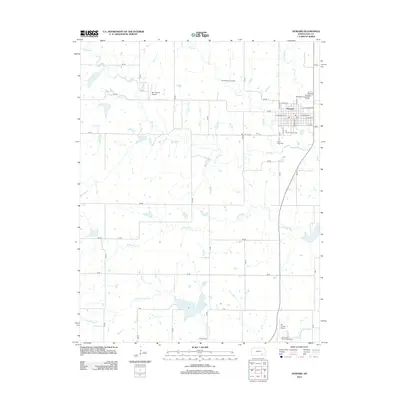 2012 Howard2012 Print · USGSElk County’s high plains and river valleys come into focus in the early 2010s, centered on the settlement of Howard. Researchers can locate civic landmarks like Grace Lawn Cem and the Elk County Fairgrounds or trace the rural drainage of the Elk River and Mound Br.
 - 2012 Map of Howard NW, 2012 Print
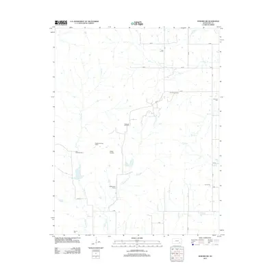 2012 Howard NW2012 Print · USGSElk County at the start of the 2010s reveals a landscape where ranching and energy production intersect on the Kansas plains. Researchers can locate family landmarks like East Eagle Head Ranch and historical sites such as Clear Cut Cem alongside the Bush-Denton Oil Field.
 - 2012 Map of Longton, 2012 Print
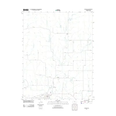 2012 Longton2012 Print · USGSElk County near the Elk River shows a steady agricultural and industrial landscape in the early twenty-first century. Genealogists and local historians can locate the Longton Cem, the settlement of Busby, and the Longton Oil and Gas Field.
 - 2012 Map of Grand Summit, 2012 Print
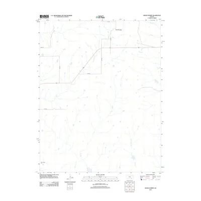 2012 Grand Summit2012 Print · USGSThe Flint Hills of Cowley County are captured here in the early twenty-first century, showing a landscape of sprawling ranchland and high prairie. Genealogists and local historians can locate Gospel Ridge Cem and trace the headwaters of Otter Cr and Union Cr.
 - 2012 Map of Piedmont, 2012 Print
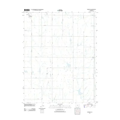 2012 Piedmont2012 Print · USGSPiedmont and the surrounding Greenwood County plains are captured here in the early twenty-first century. Genealogists and local historians can locate family burial sites at Bunker Hill Cem and Cresco Cem or trace the waters of Rock Cr.
 - 2012 Map of Latham SE, 2012 Print
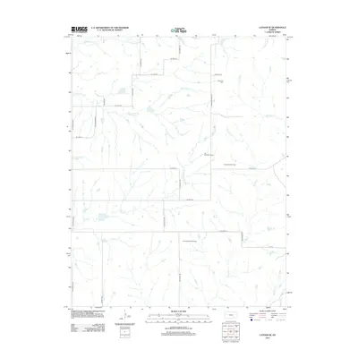 2012 Latham SE2012 Print · USGSButler County energy production and prairie watersheds are mapped here in the early twenty-first century. Genealogists and historians can locate family-named rural routes like Latham-Beaumont Rd and trace industrial sites from the Ferrell Oil Field to the modern Elk River Wind Farm.
 - 2012 Map of Elk Falls, 2012 Print
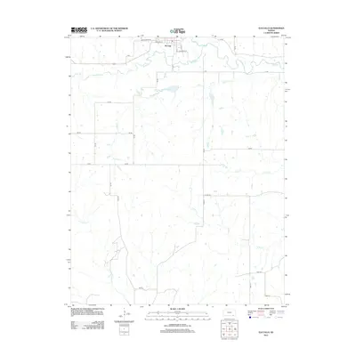 2012 Elk Falls2012 Print · USGSElk Falls and the surrounding prairie are captured here in the early twenty-first century as a quiet landscape of river bends and rural roads. Genealogists and local researchers can trace the town's layout and surrounding landmarks like Wildcat Cr and Trail Rd.
Showing maps 1-25 of 90
Top cities of Elk County
- Howard historical maps
- Moline historical maps
- Longton historical maps
- Grenola historical maps
- Oak Valley historical maps
- Elk Falls historical maps
Frequently asked questions
- What are the different types of historical maps available for Elk County?
- What is the oldest map of Elk County?
- Where can I purchase historical maps of Elk County for my home or office?
- Where can I download high-res historical maps of Elk County?
- Are there historical topographic maps available for Elk County?
- Is there historical aerial imagery available for Elk County?
- Where are historical maps of Elk County sourced from?